BA series - Satellite maps of Greece

BA1 maps are here! Iraklio/Crete is first.

Size: 1254x868, true color - ideal for 1280x desktop

Note1: I design maps for 1280x960 desktop so the entire map fits on my UI-View in full screen mode without scrolling bars (i hate map shift). If you use lower resolution like 1024x768 etc., it may be better to RESIZE the maps to fit in your window. Resizing does NOT affect correct calibration, so feel free to experiment...

Note2: Maps are stored with a lot of compression to become as small as possible. Since they actually are photos, the JPG format is preffered. Detail degradation is kept to a minimum "blur".


BA = 900 meters Range Scale in UI-view!

BAlykab.jpg
BAlykab.jpg
318.26 KB
BArafina.jpg
BArafina.jpg
201.80 KB

BA1 = 1,7 km Range Scale in UI-view!

BA1iraklio1.jpg
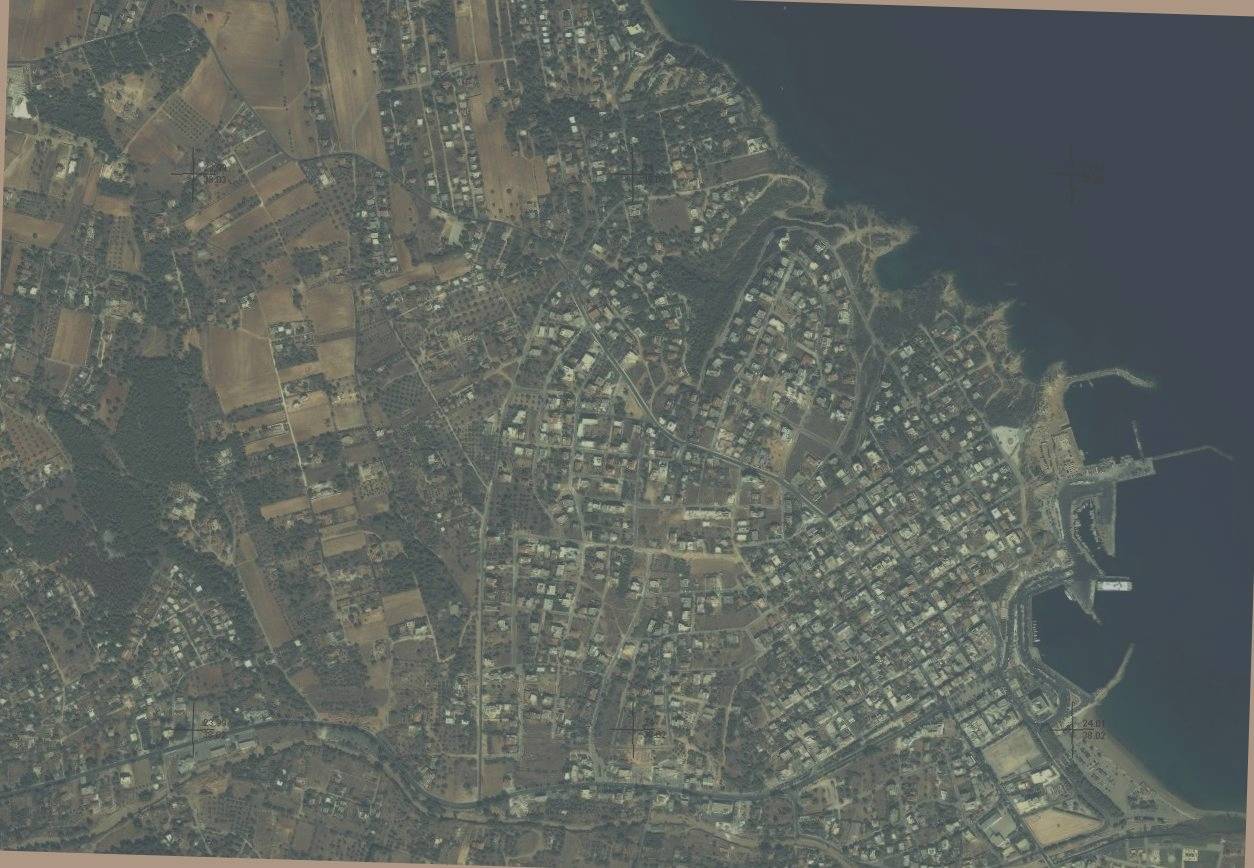
BA1iraklio1.jpg
269.74 KB
BA1athens1.jpg
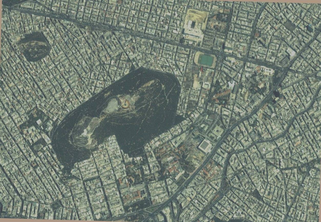
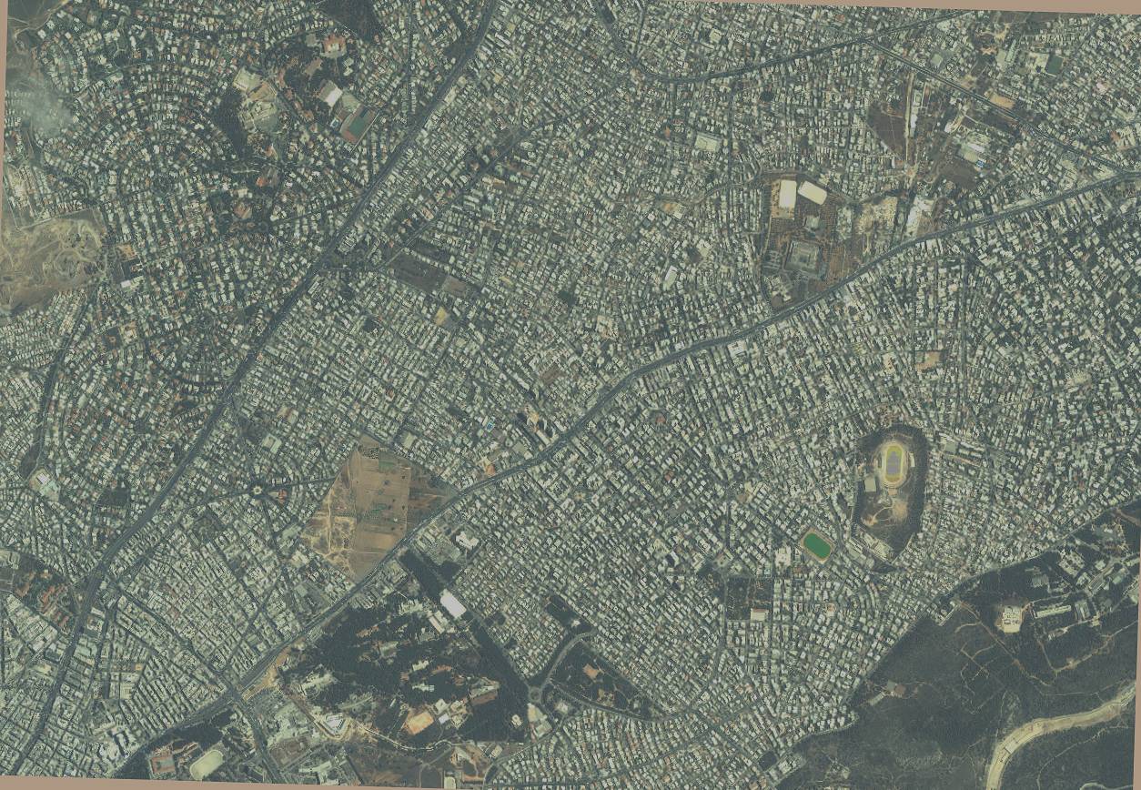
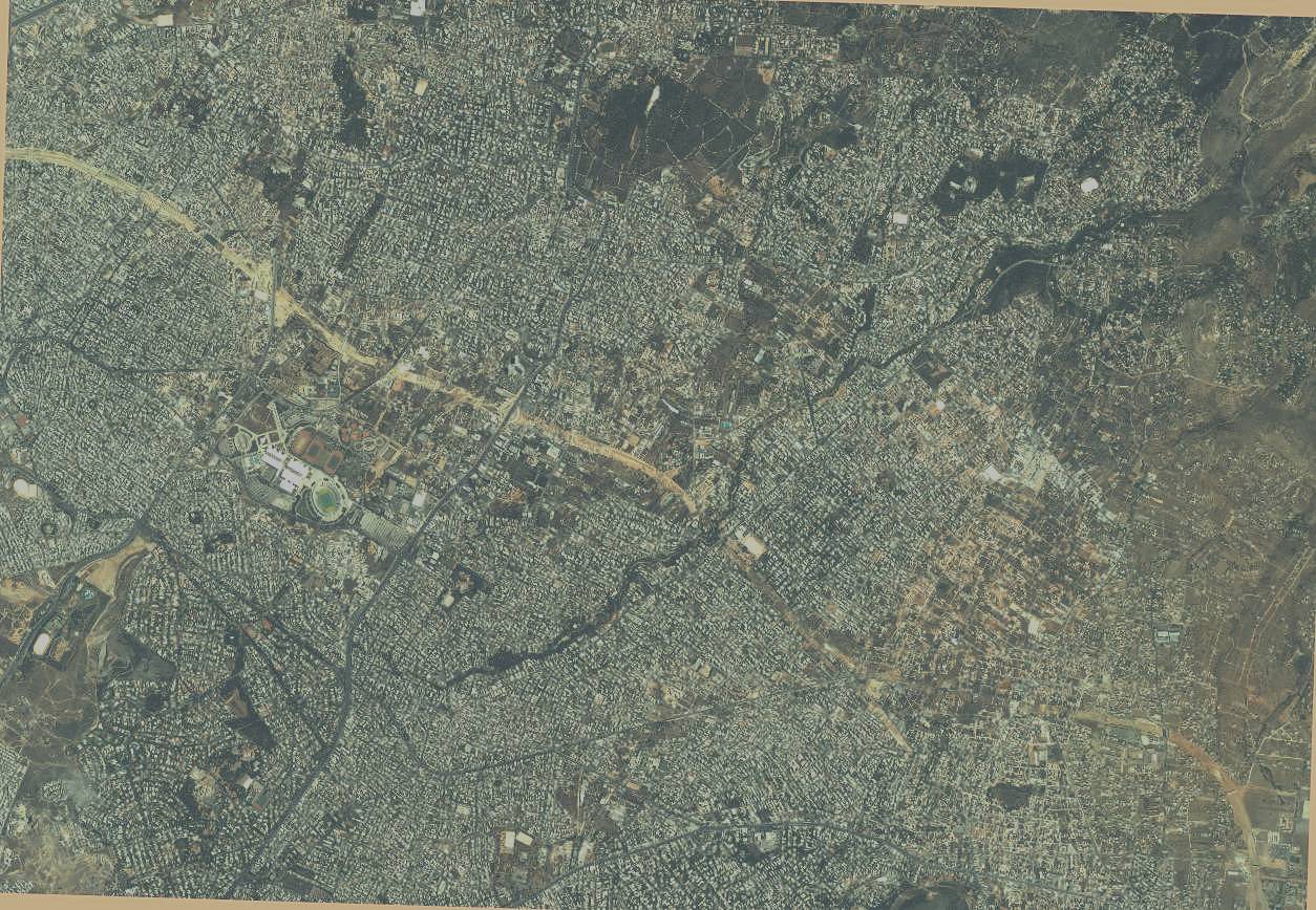
BA1athens1.jpg
303.82 KB
BA1psyhiko.jpg
BA1psyhiko.jpg
292.38 KB
BA1kalamaria.jpg
BA1kalamaria.jpg
222.03 KB
BA1panorama.jpg
BA1panorama.jpg
210.31 KB
BA1tumba.jpg
BA1tumba.jpg
249.34 KB

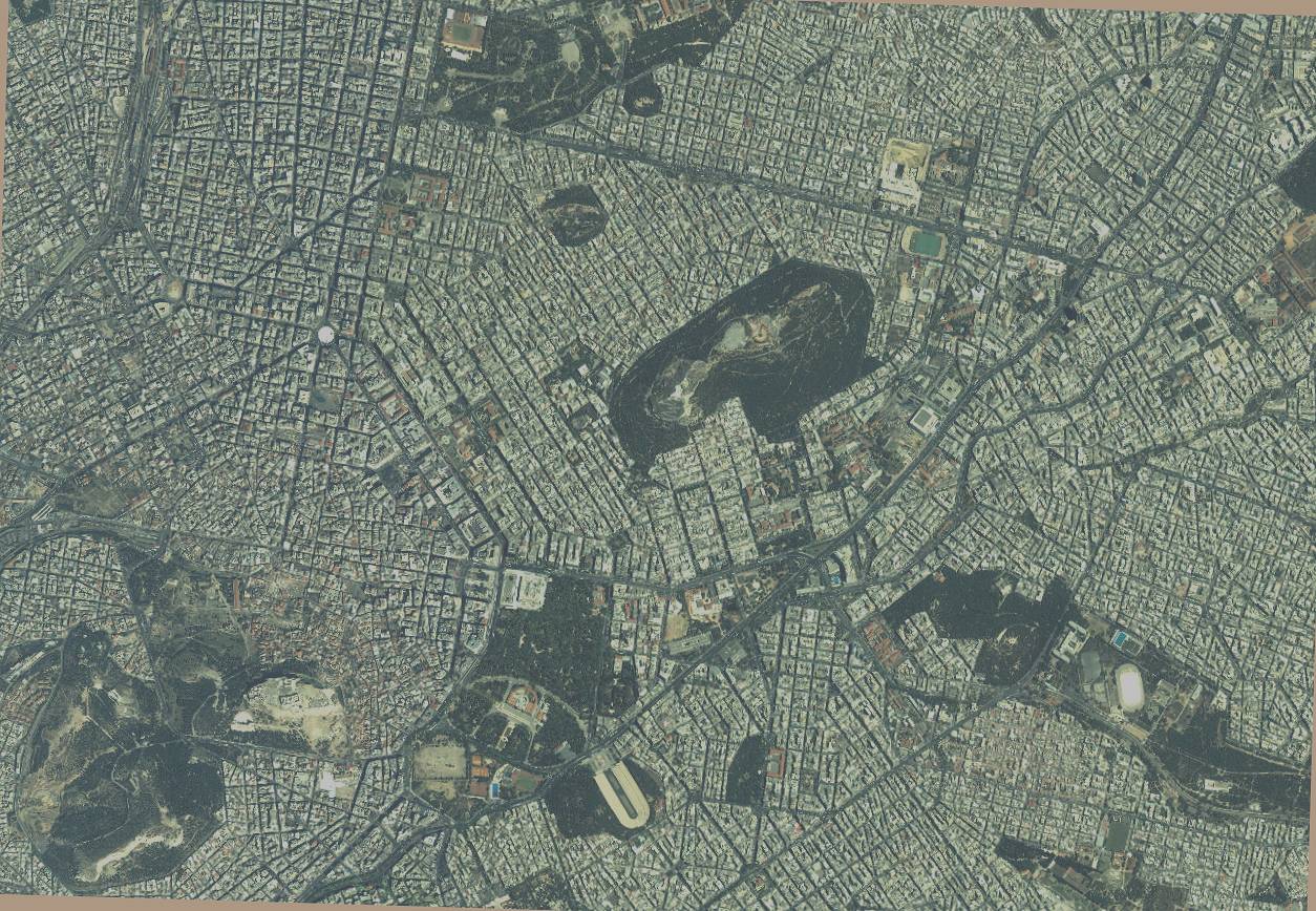
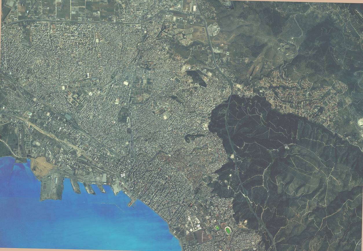
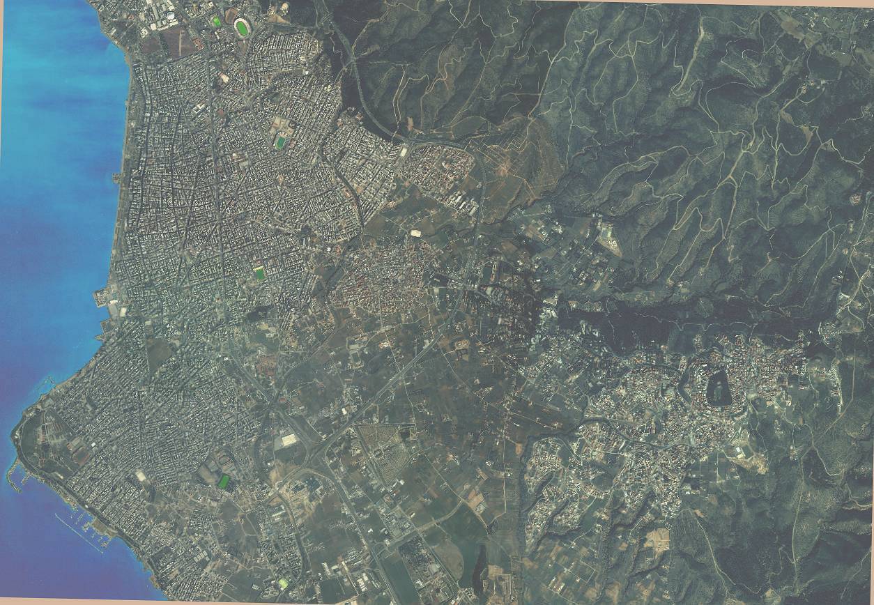
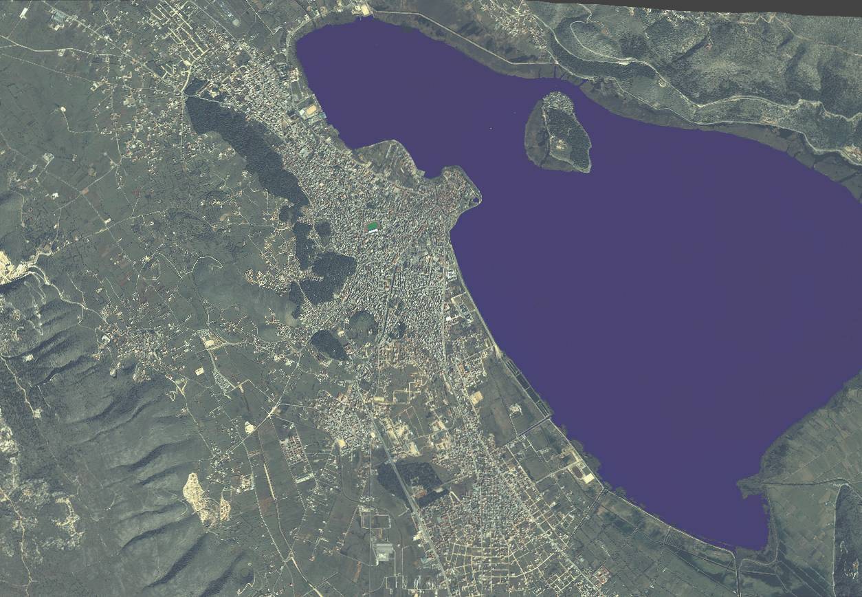
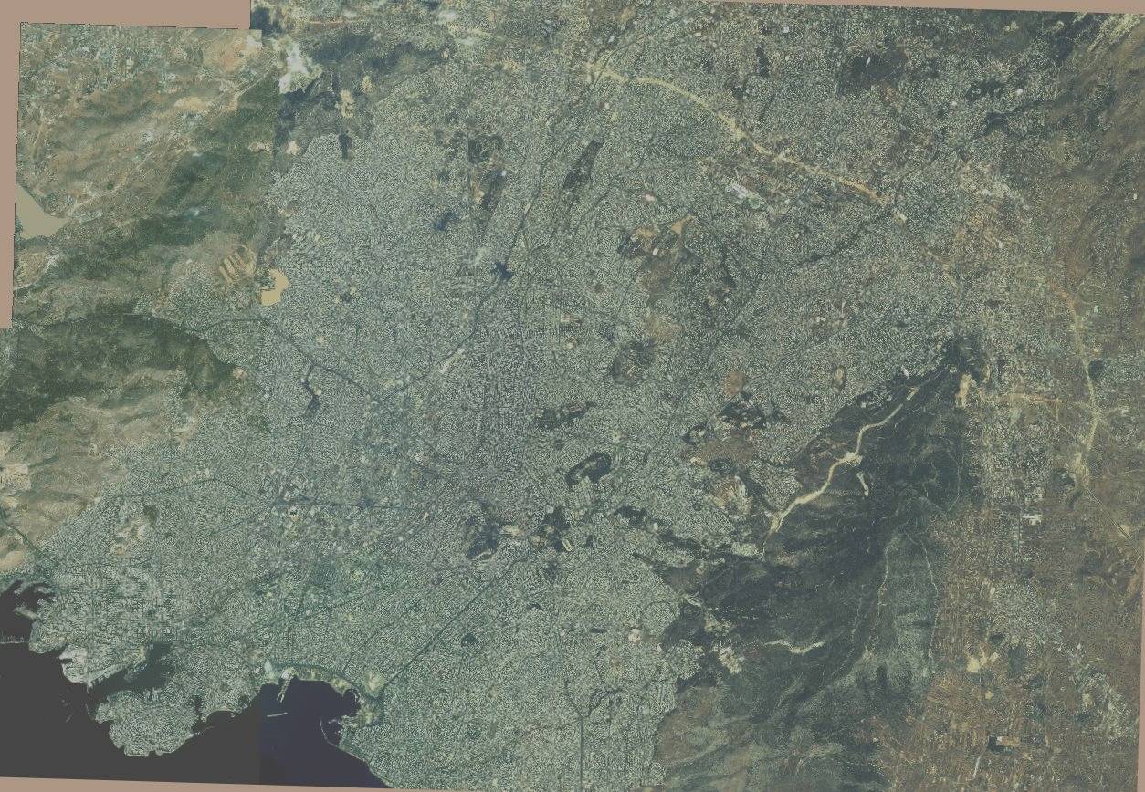
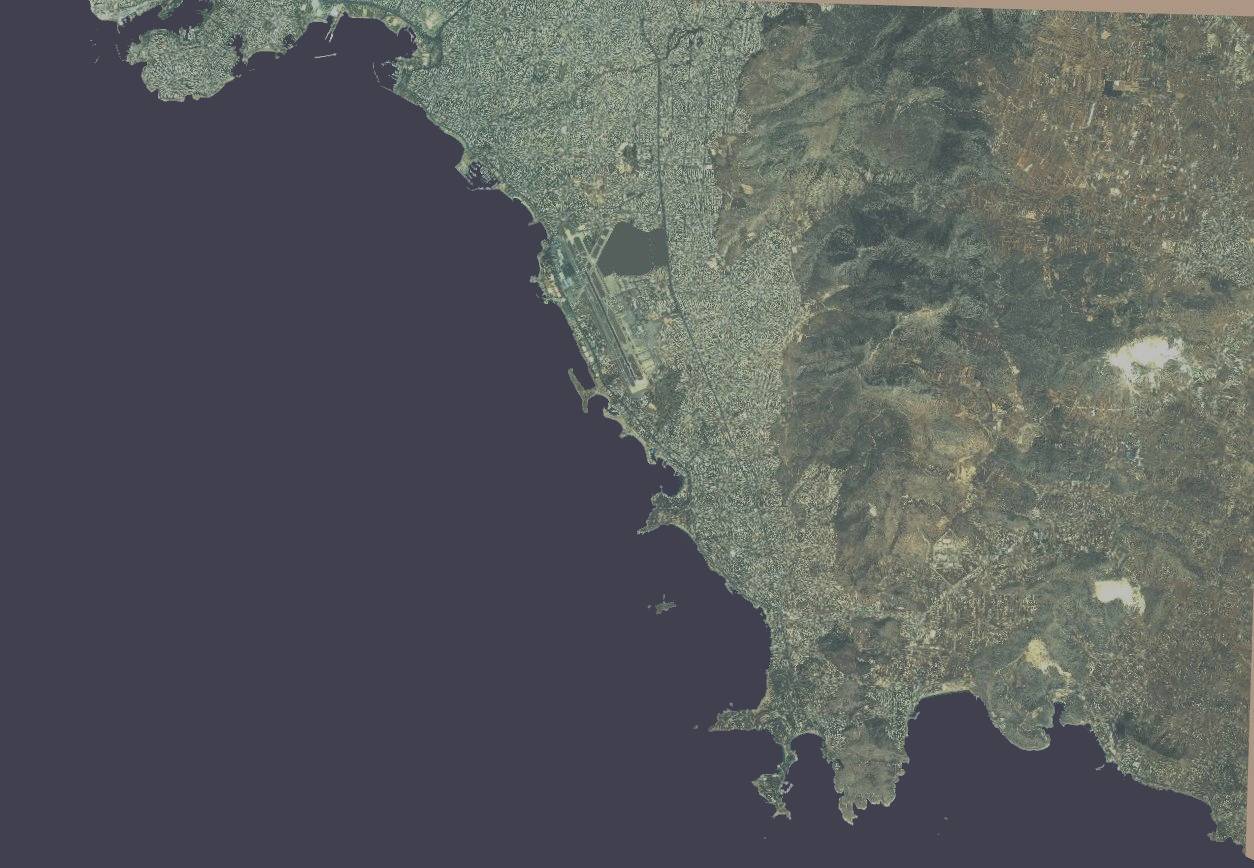
BA2 = 3,5 km Range Scale in UI-view!

BA2athensN2.jpg
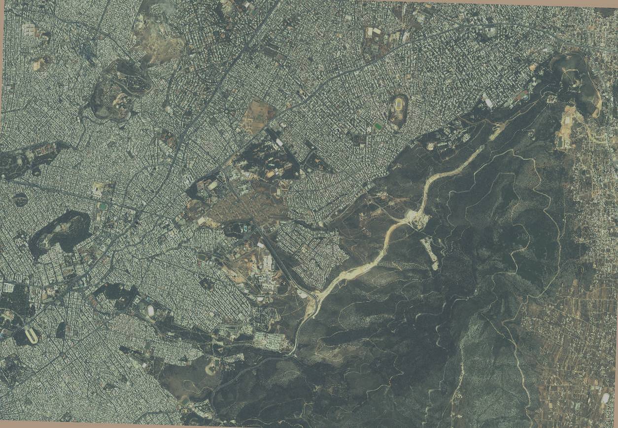
BA2athensN2.jpg
253.07 KB
BA2athensE1.jpg
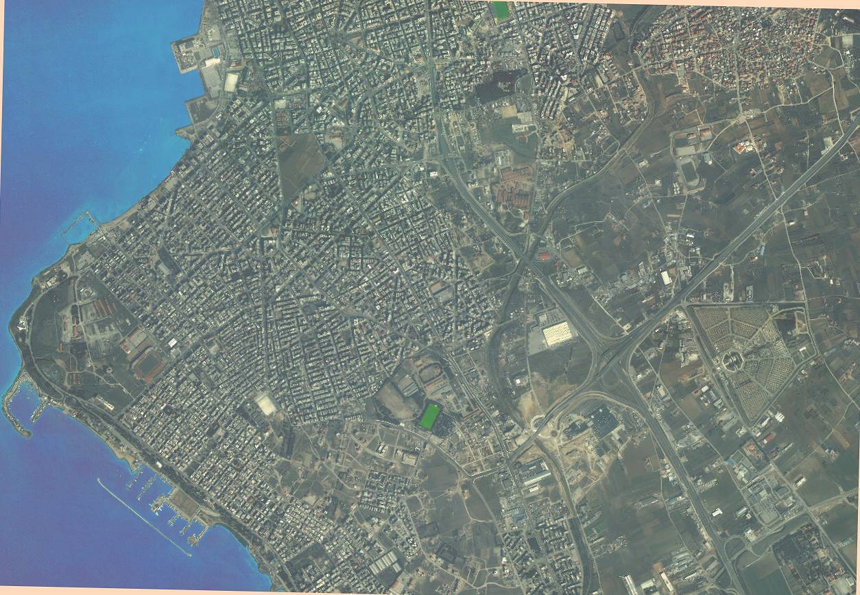
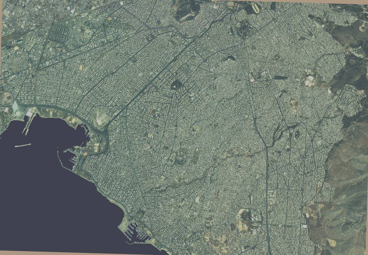
BA2athensE1.jpg
227.94 KB
BA2athensE2.jpg
BA2athensE2.jpg
292.68 KB
BA2athensSW.jpg
BA2athensSW.jpg
214.66 KB
BA2thesN.jpg
BA2thesN.jpg
241.44 KB
BA2thesS.jpg
BA2thesS.jpg
228.83 KB
BA2ioannina1.jpg
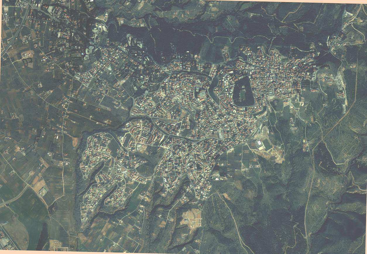
BA2ioannina1.jpg
178.50 KB
BA2pikermi.jpg
BA2pikermi.jpg
243.43 KB

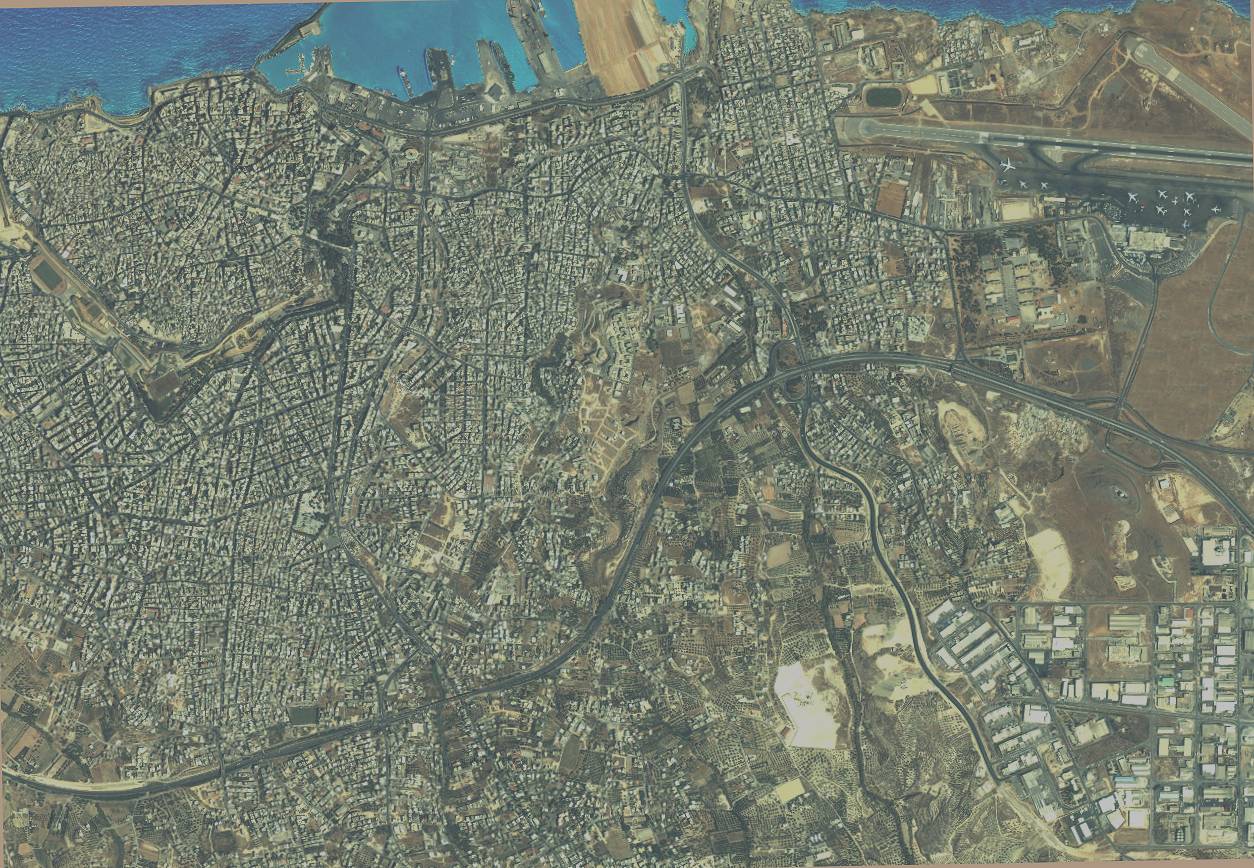
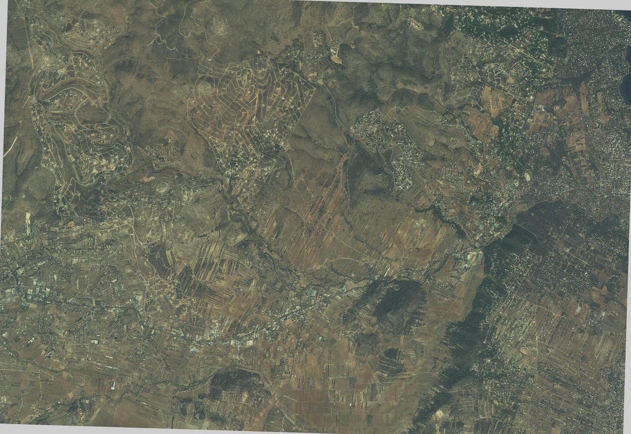
BA3 = 8,7 km Range Scale in UI-view

BA3athensN.jpg
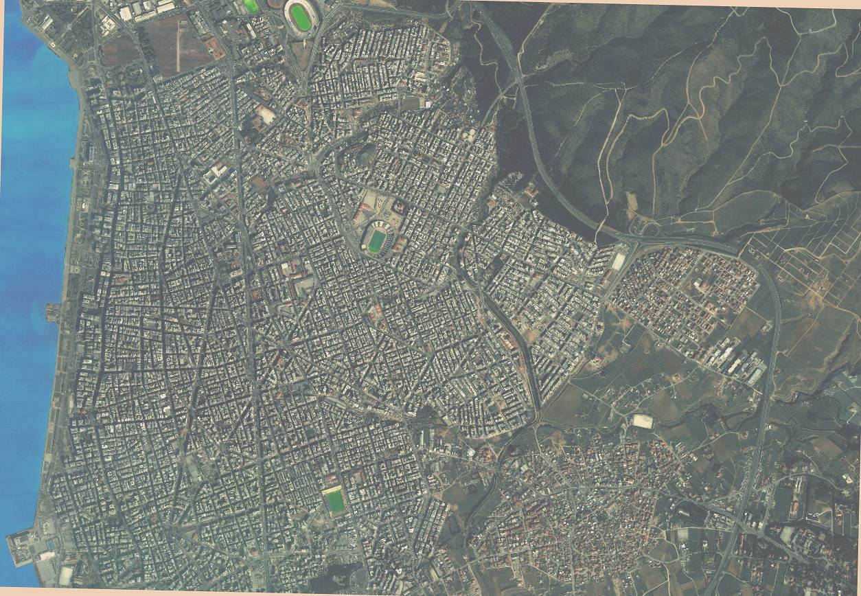
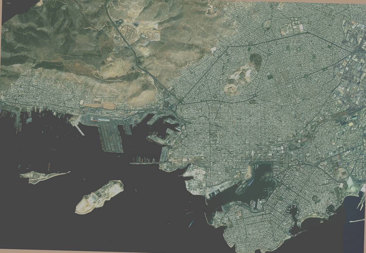
BA3athensN.jpg
280.61 KB
BA3athensS.jpg
BA3athensS.jpg
140.12 KB

INF files for the above maps:

INF files (ZIP)