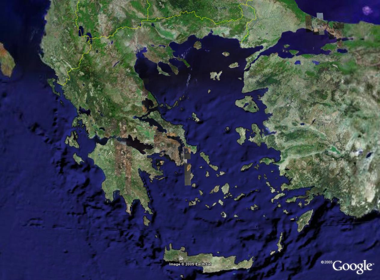
GE series - Satellite maps of Greece by Google
Note1: I design maps for 1280x1024 desktop so the entire map fits on my UI-View in
full screen mode without scrolling bars (i hate map shift). If you use lower resolution
like 1024x768 etc., get Google Earth and make them on your own! Details on how you do it
will follow...
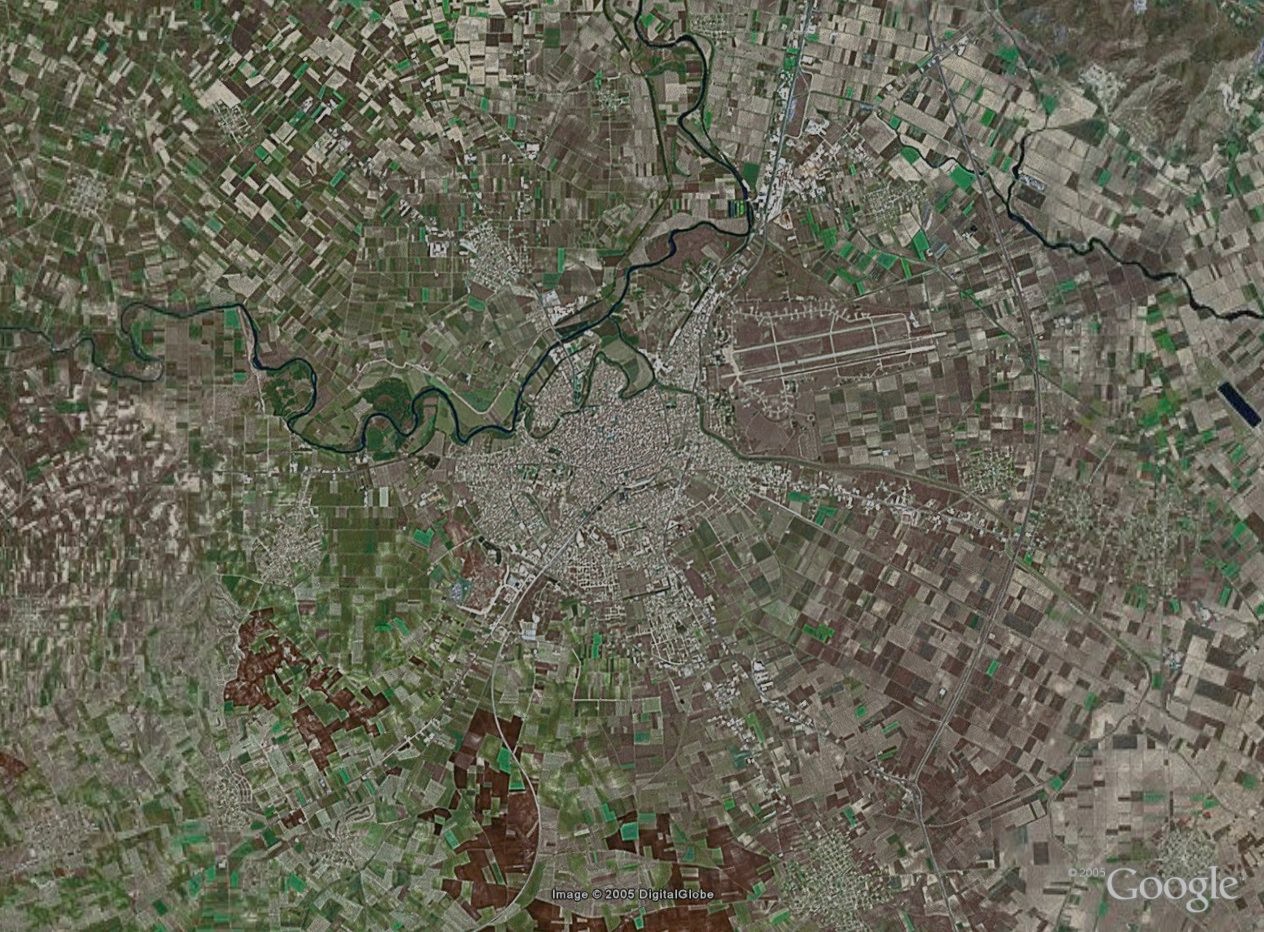
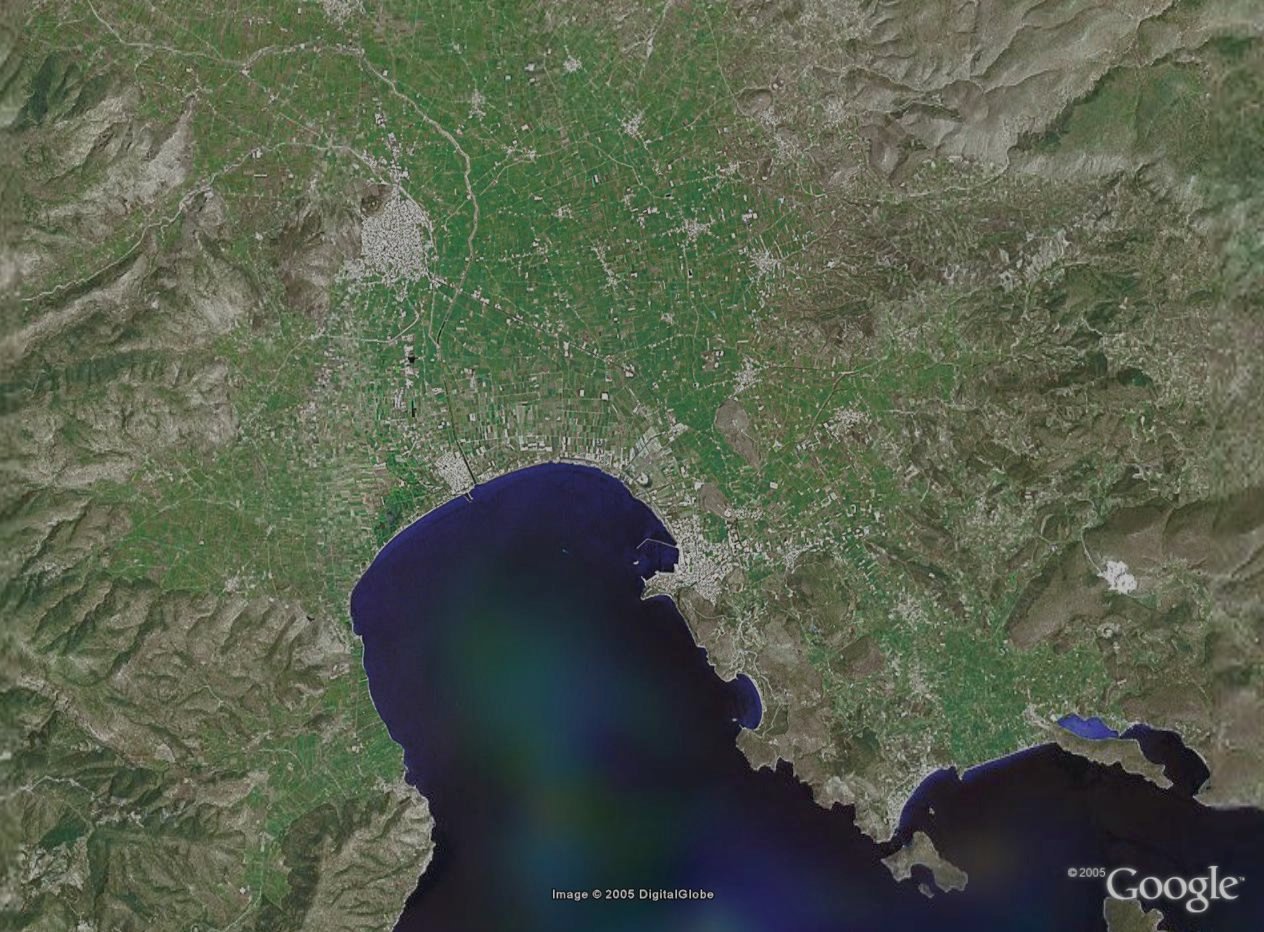
Note2: Google maps are satellite maps with two levels. Unfortunately only a small part of
Greece has the high-detail level (the one with the "brown" color). The rest is good for
rough terain maps only (the "green" one).
Hellas index
Not a mercatoric chart, just for reference (no inf file!)... Don't need to download!
GE high = 1 - 10 km Range Scale in UI-view
GE mixed = 5 - 20 km Range Scale in UI-view
GE low = 5 - 20 km Range Scale in UI-view
INF files for the above maps:
INF files (ZIP)