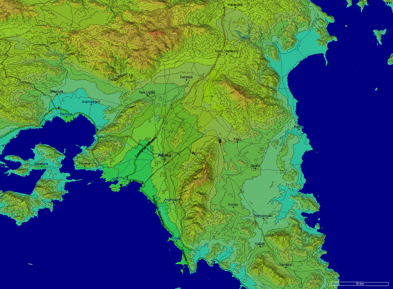
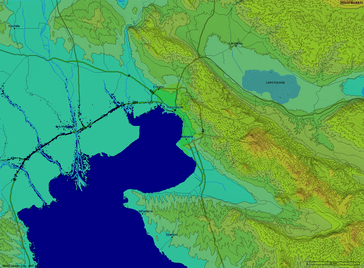
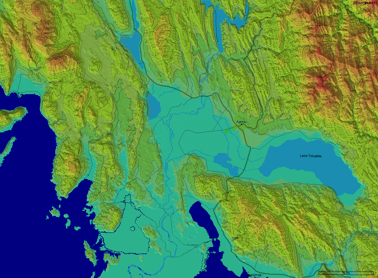
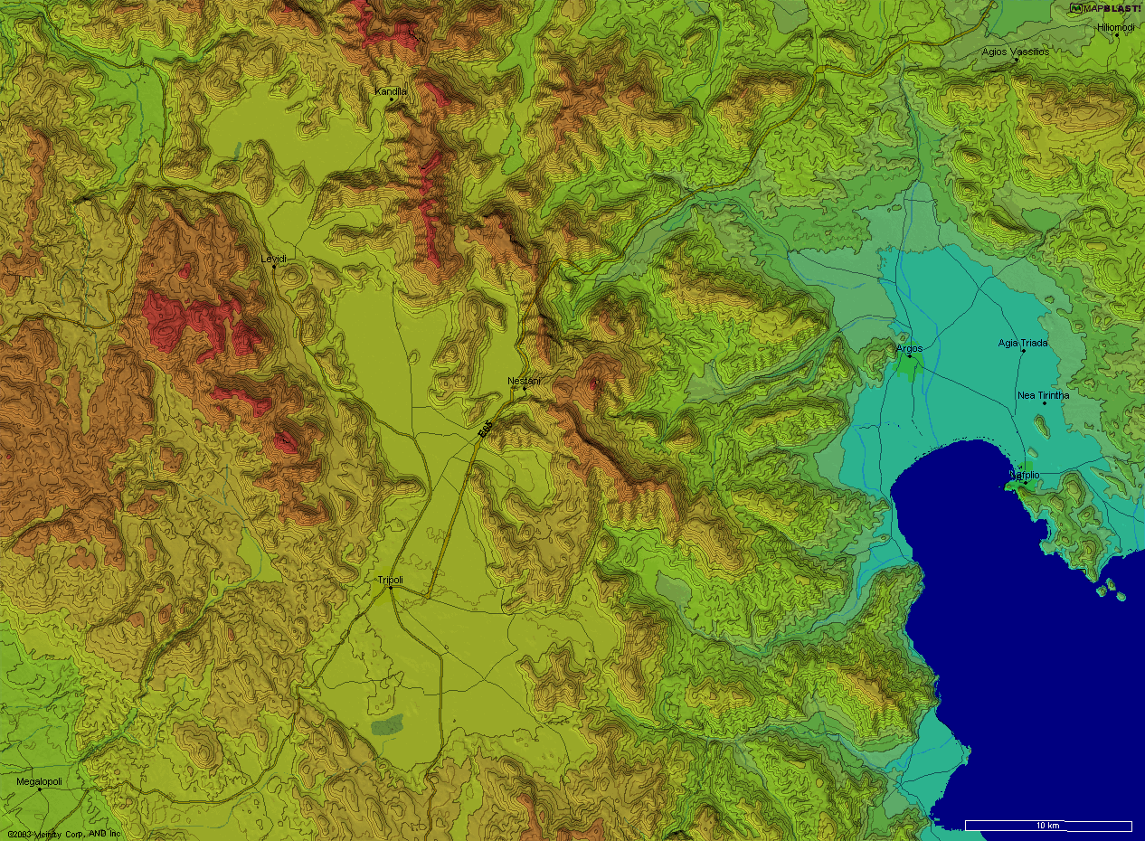
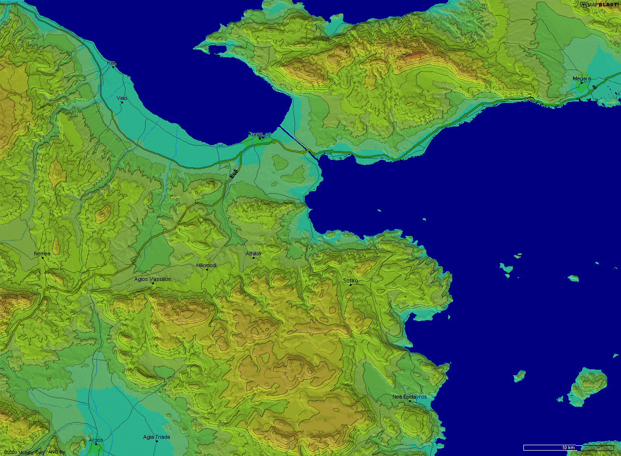
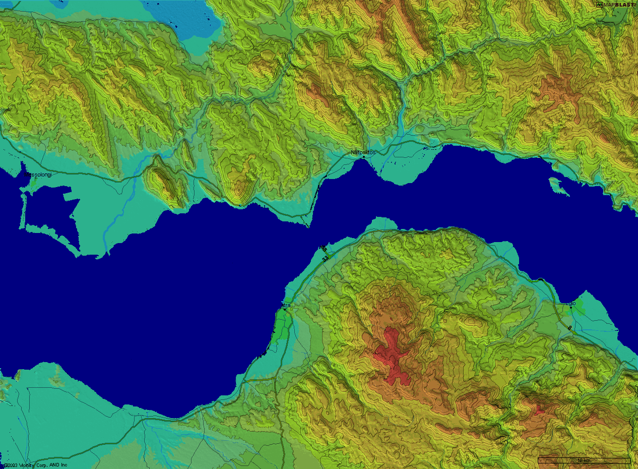
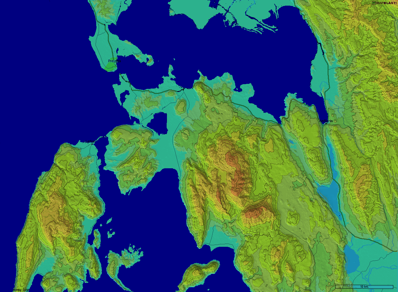
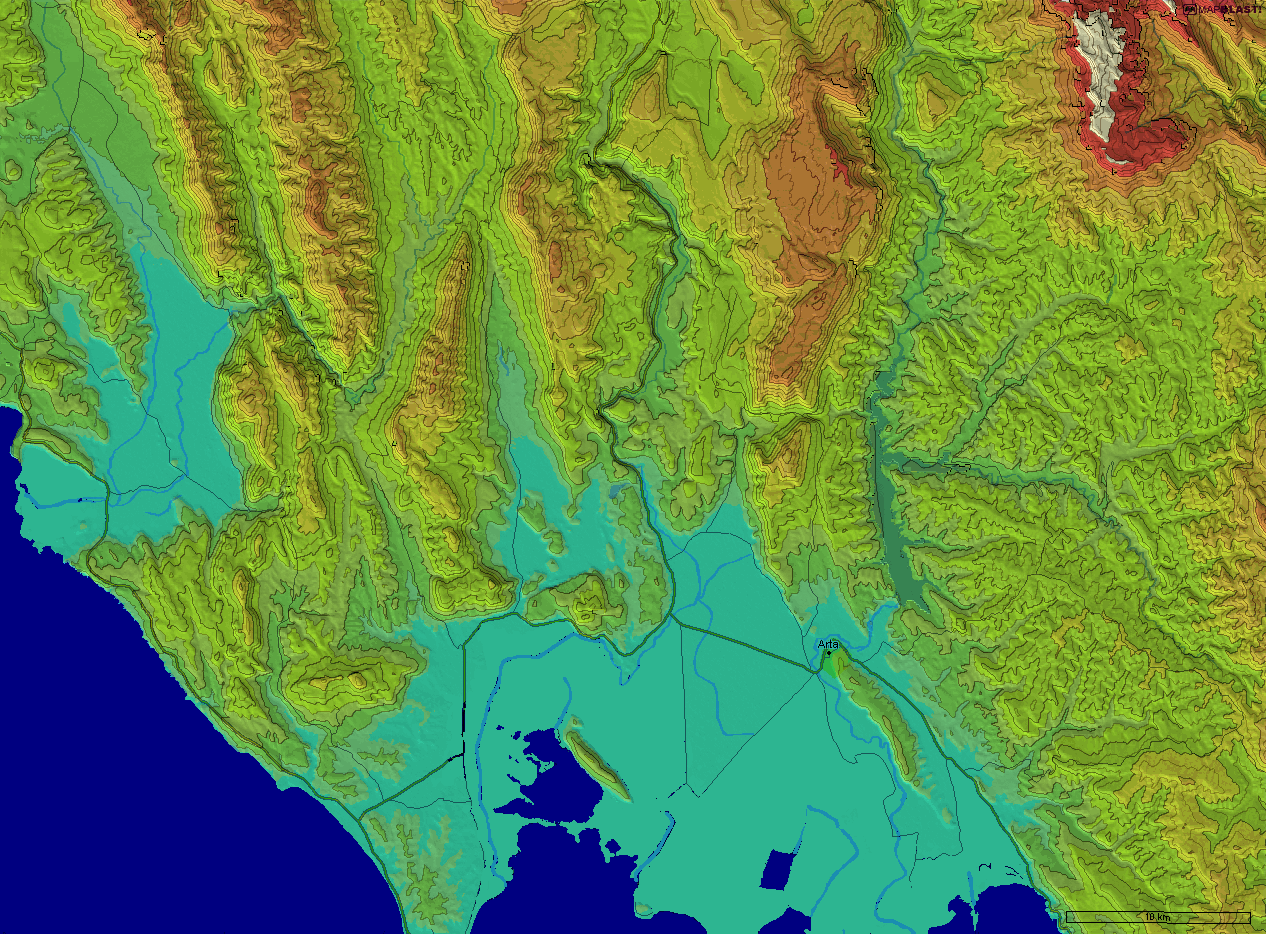
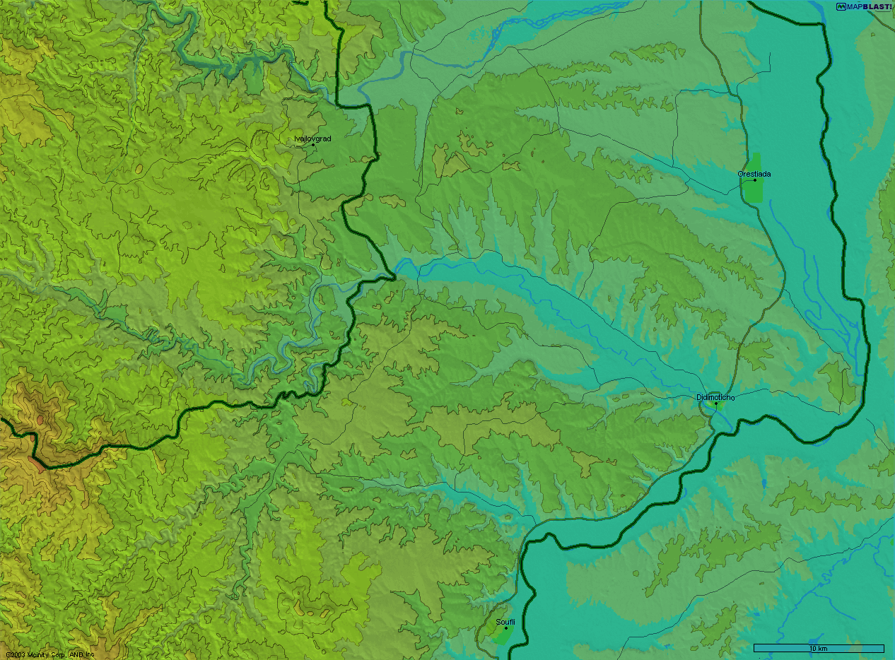
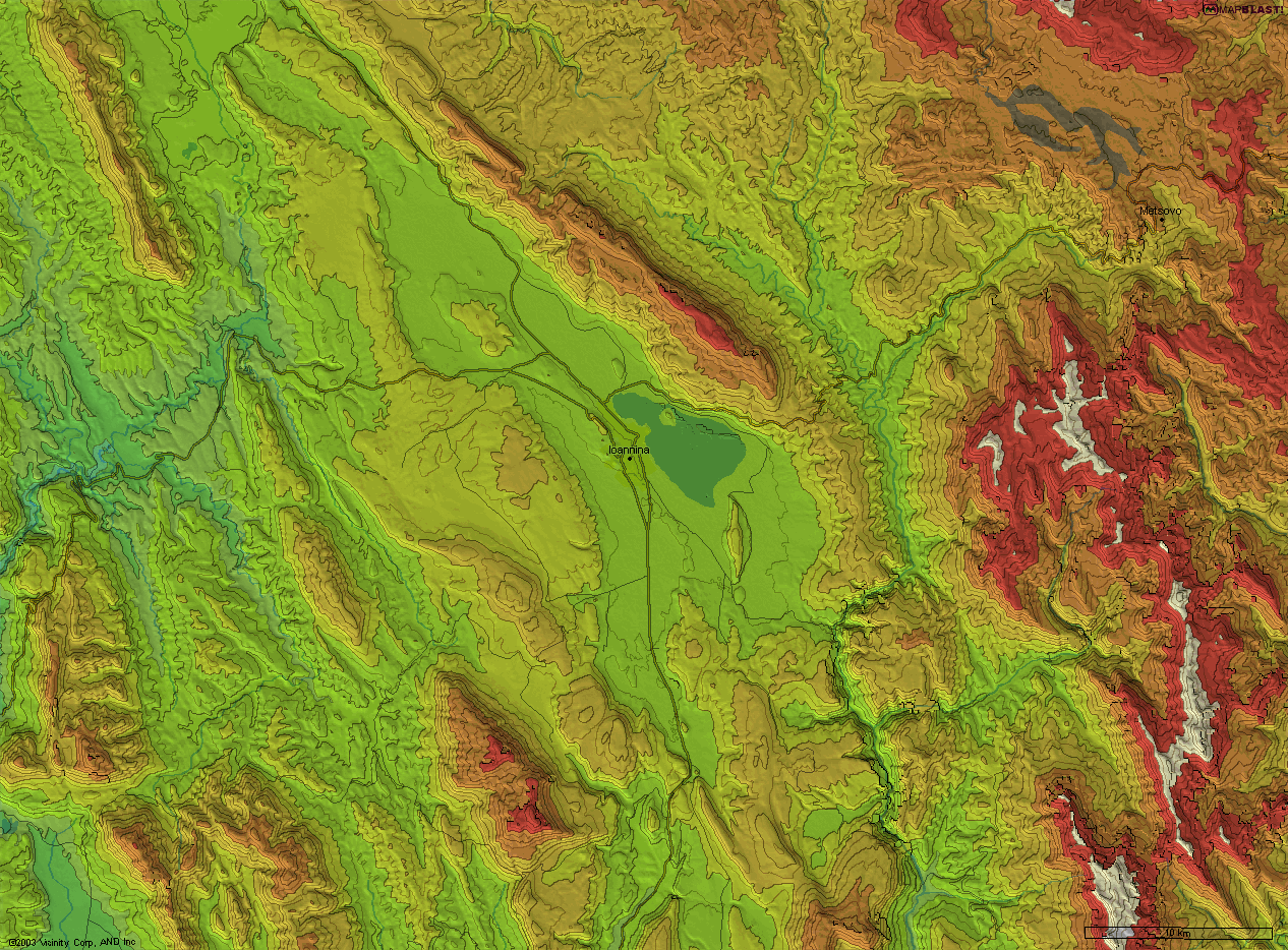
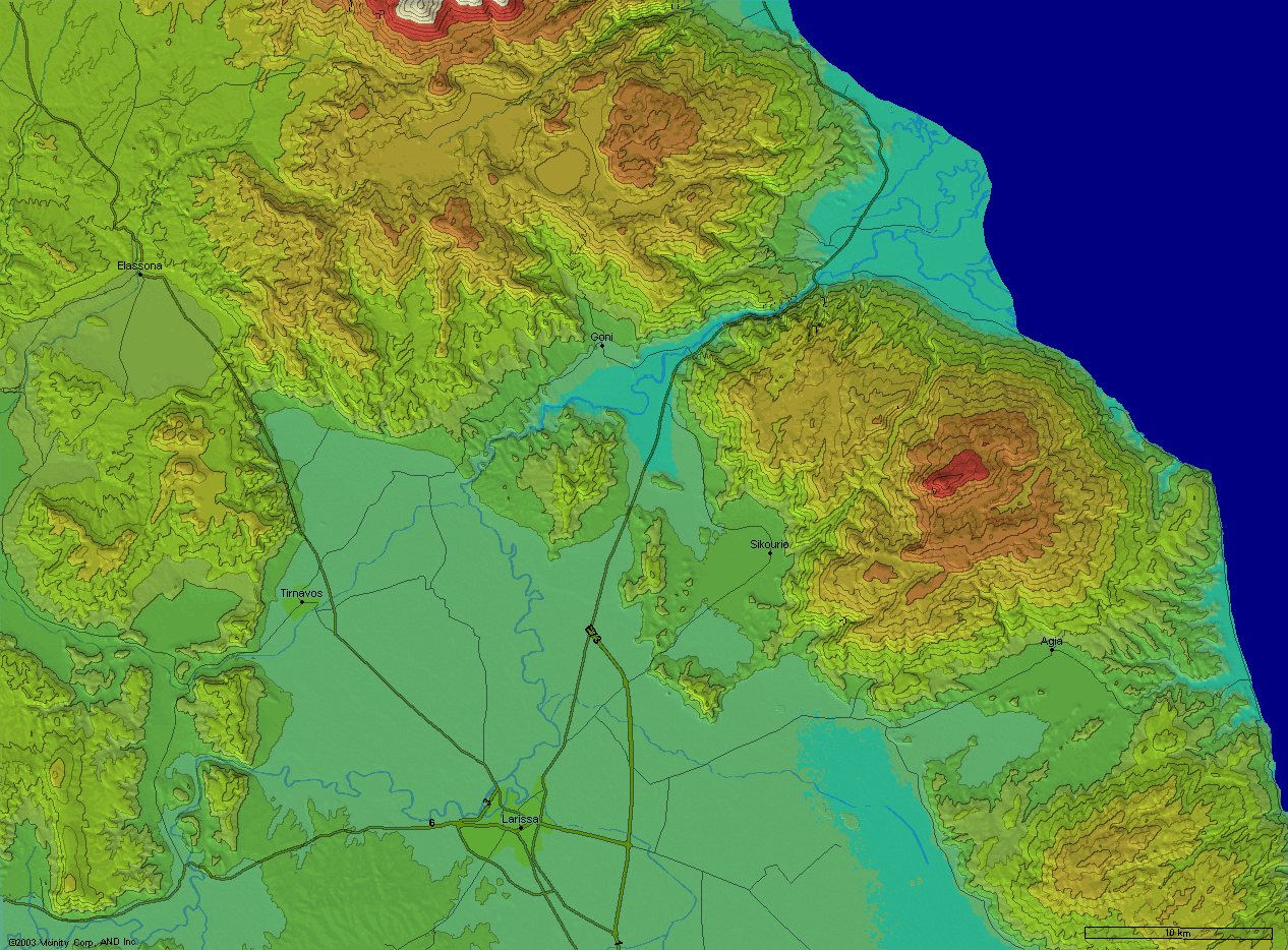
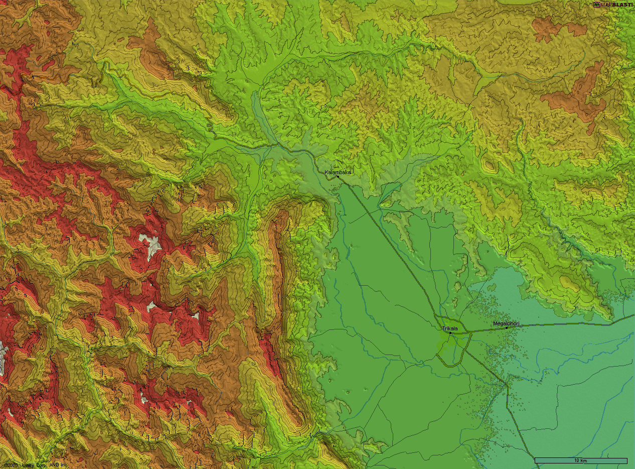
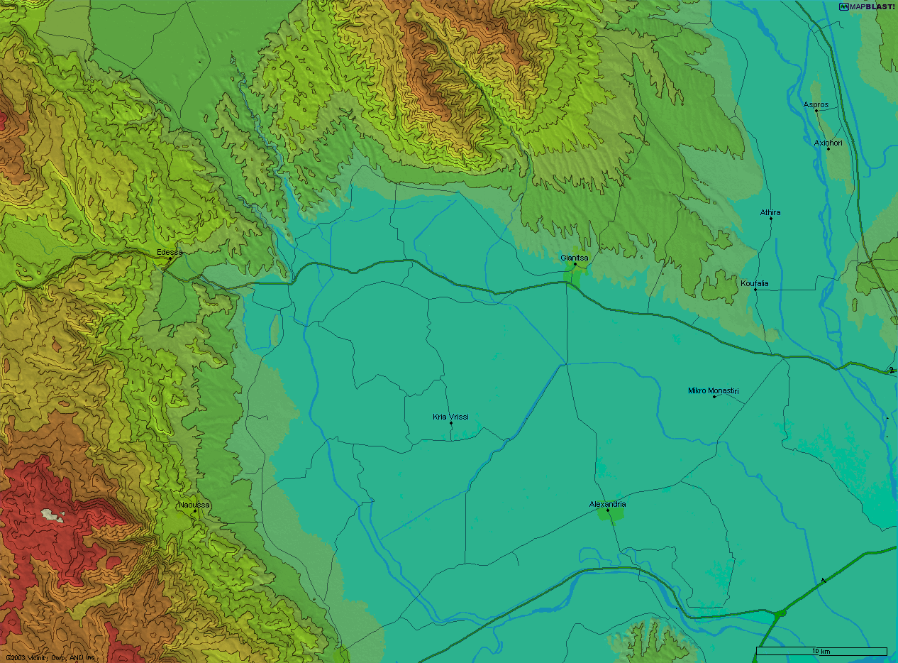
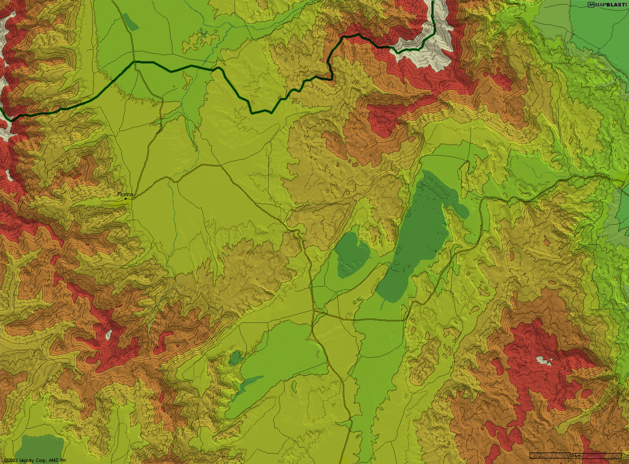
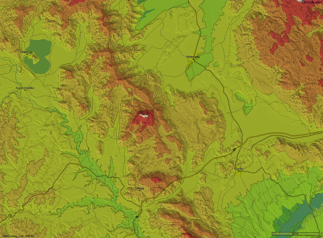
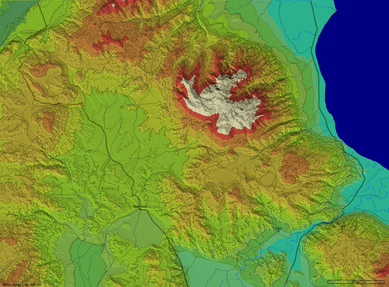
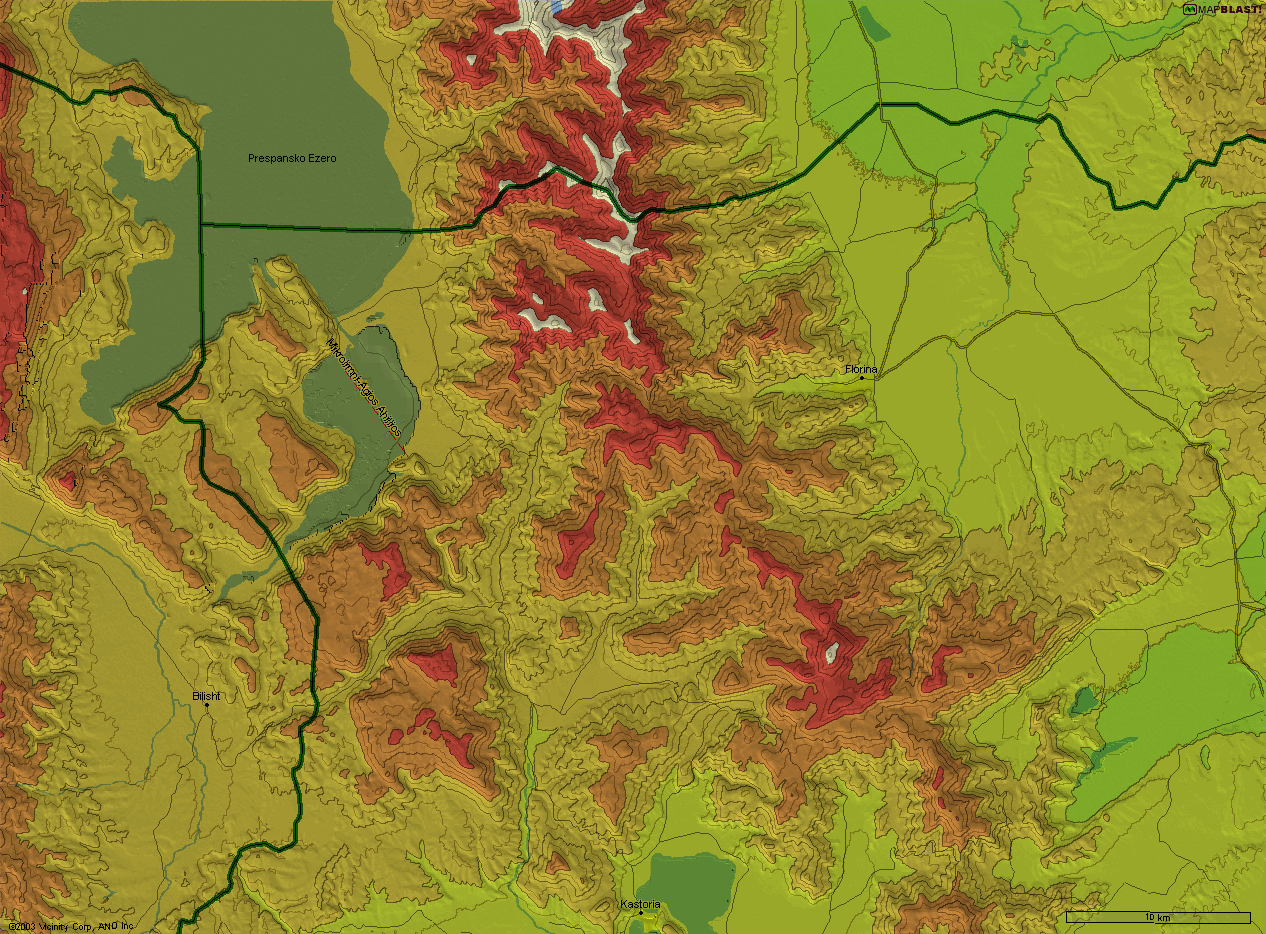
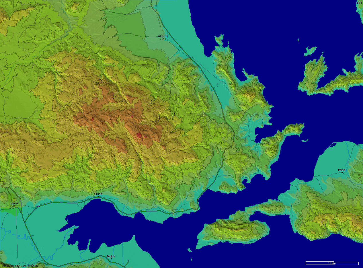
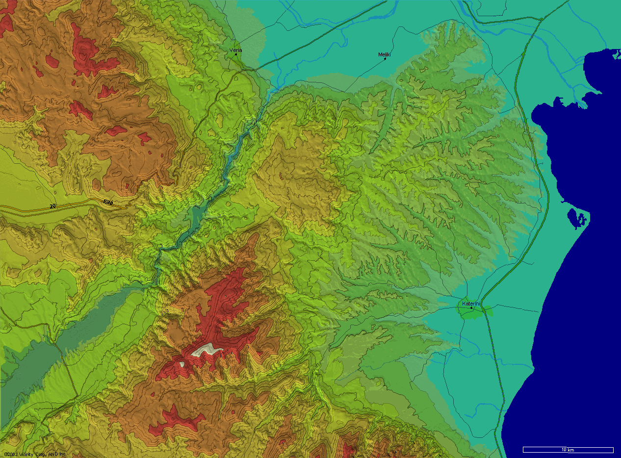
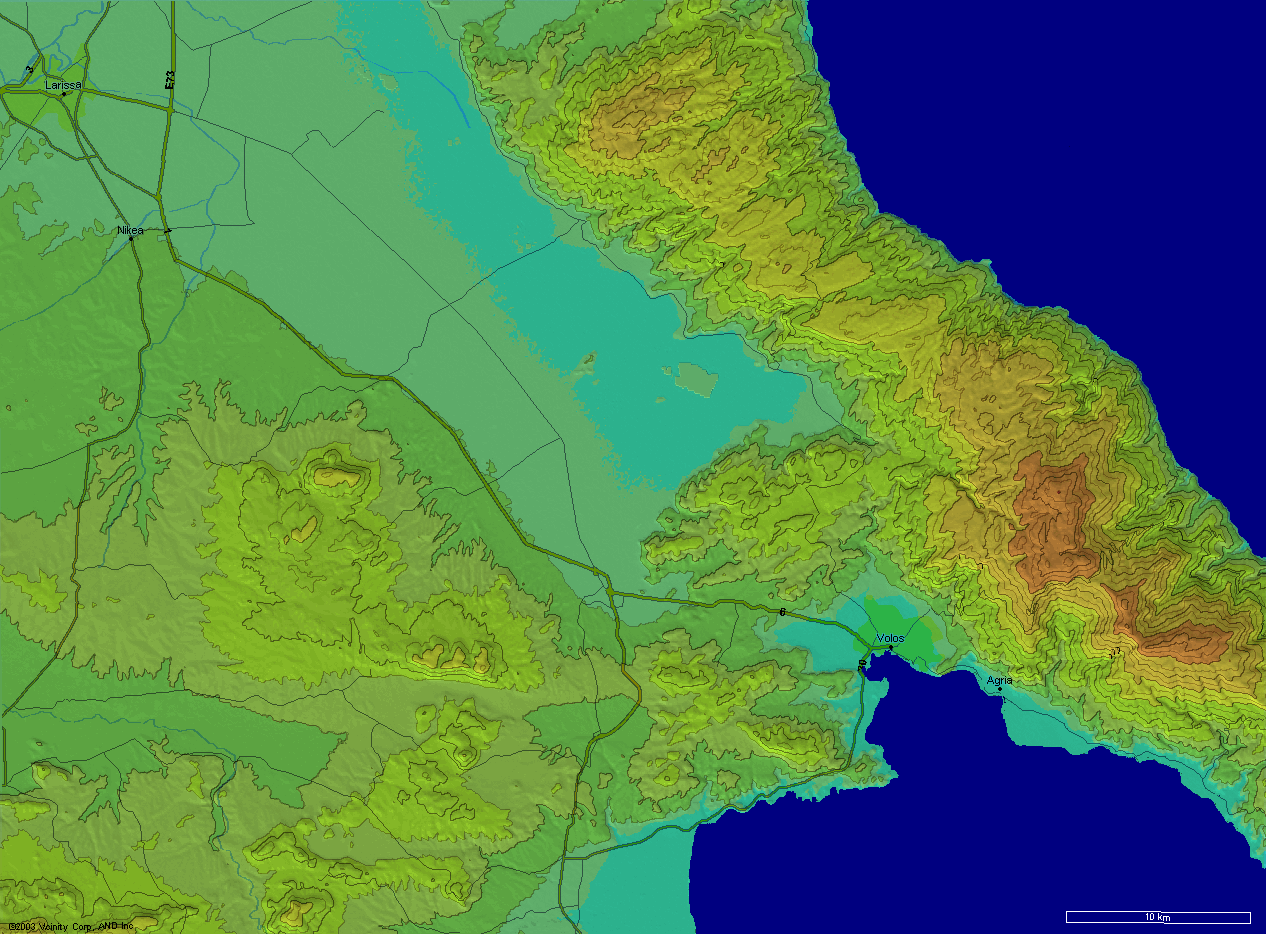
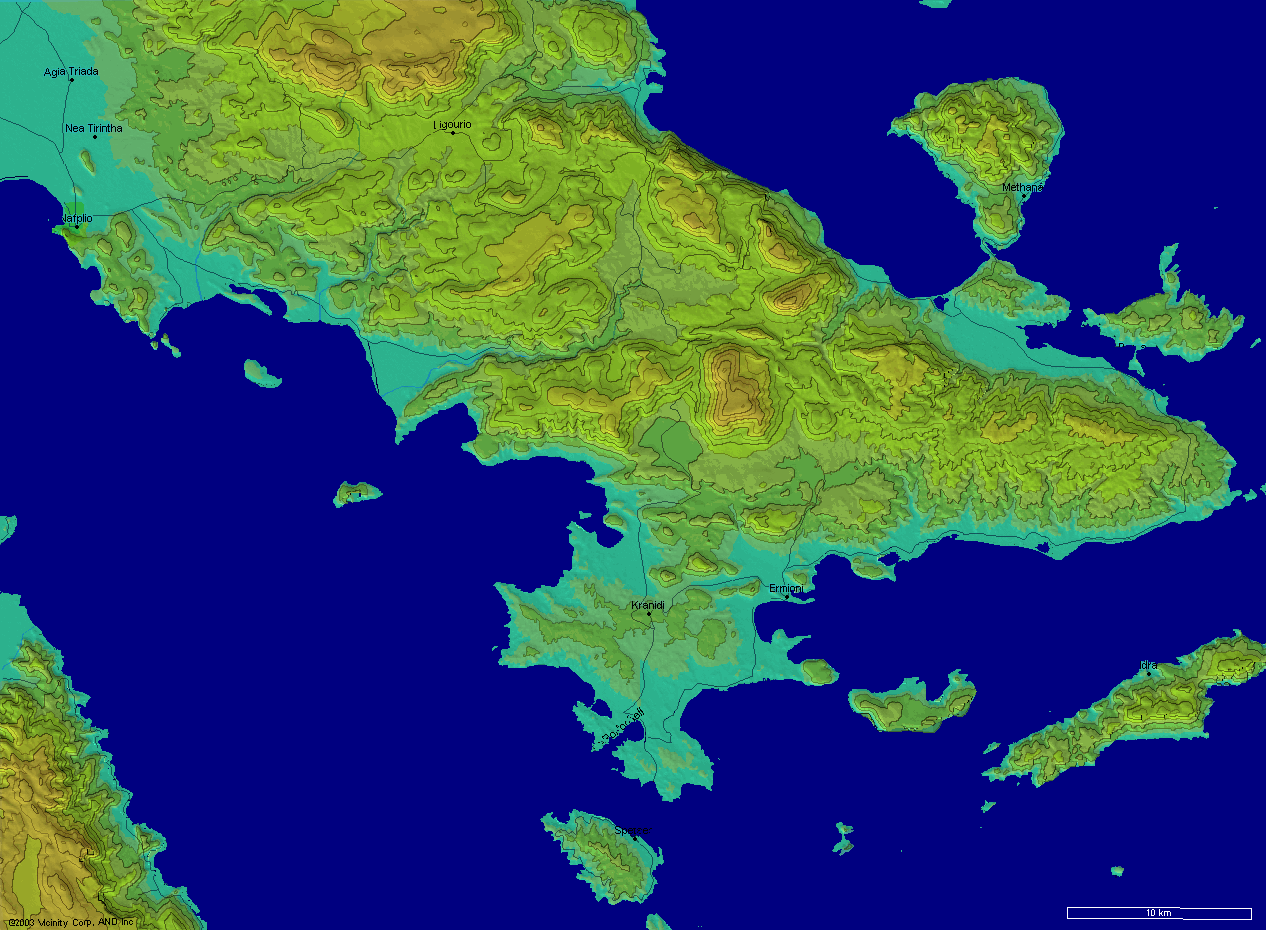
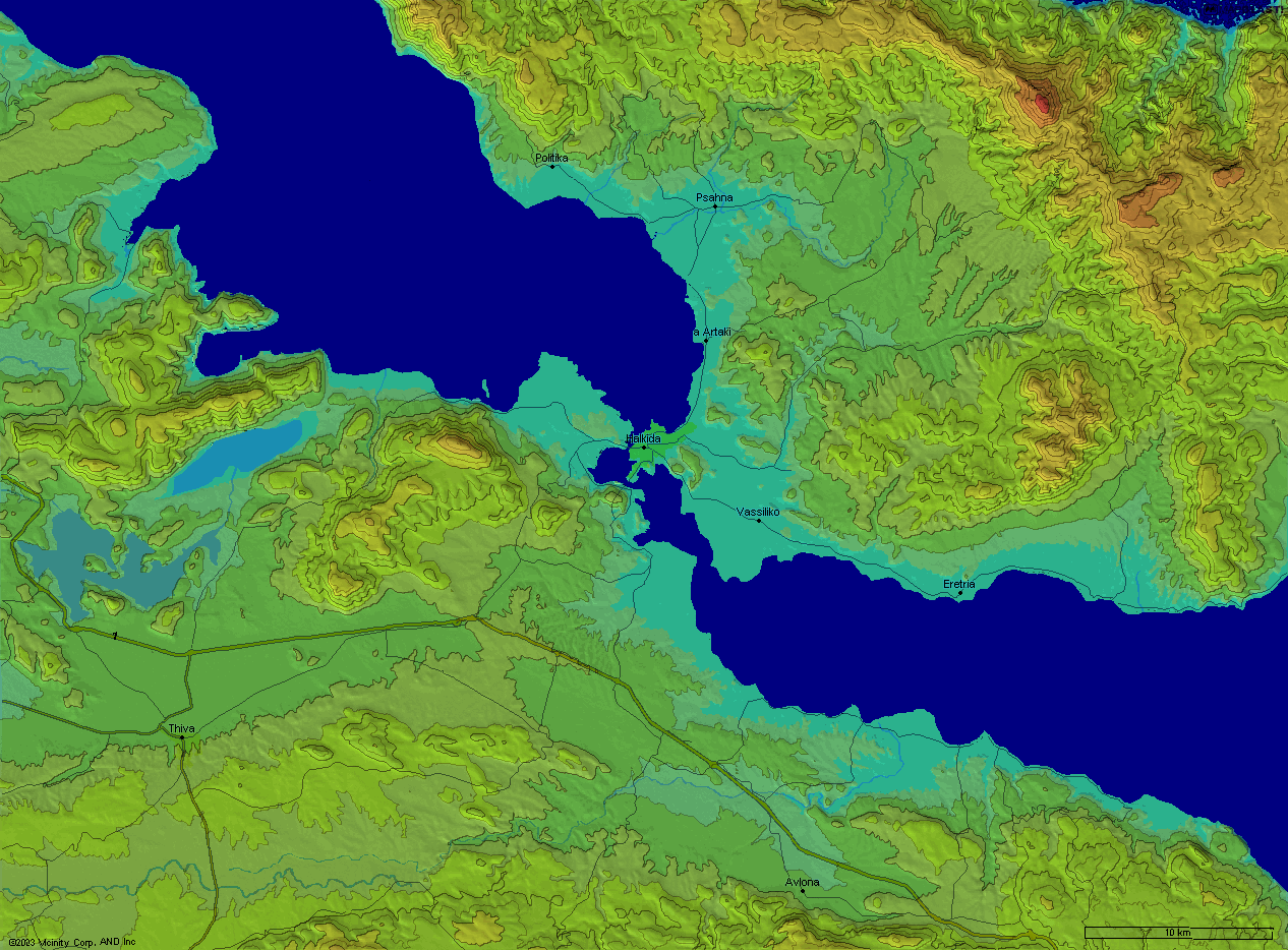
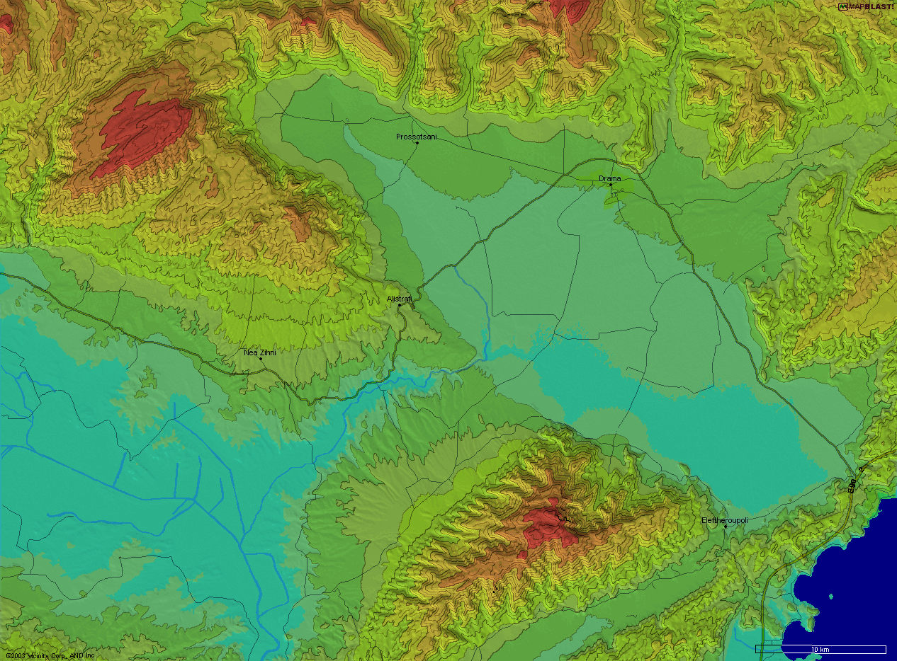
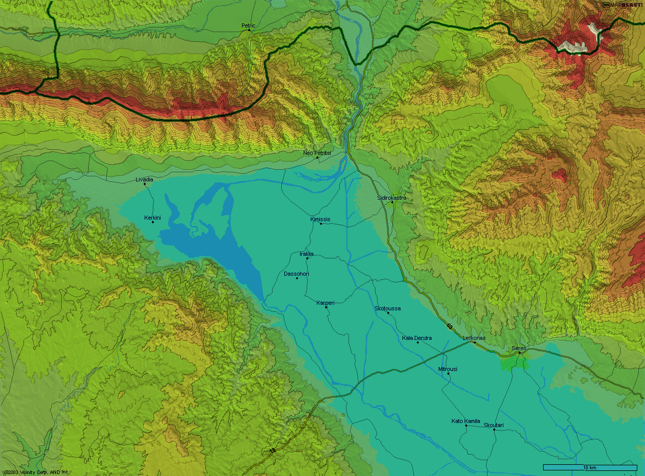
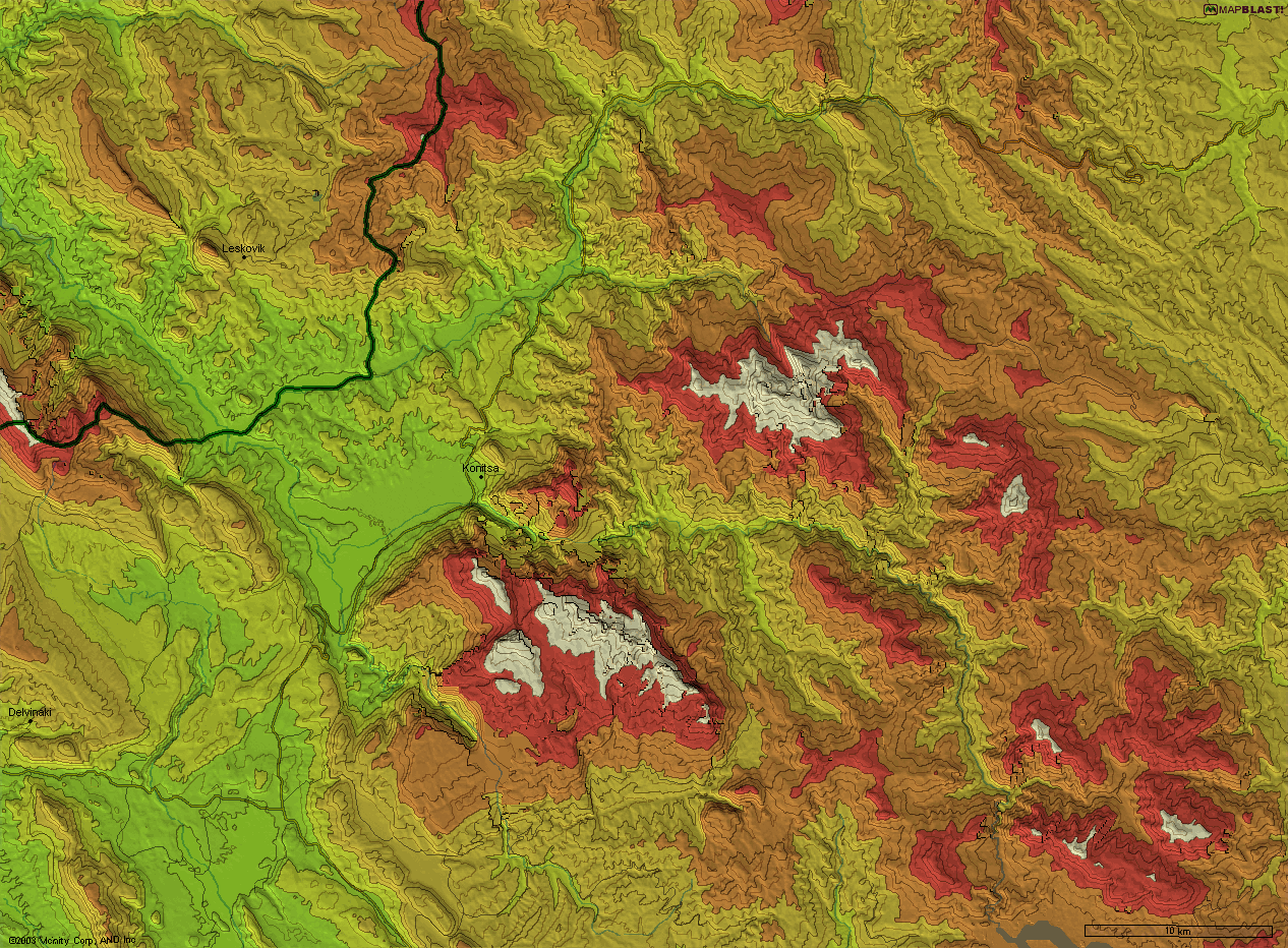
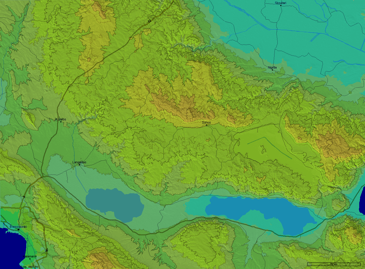
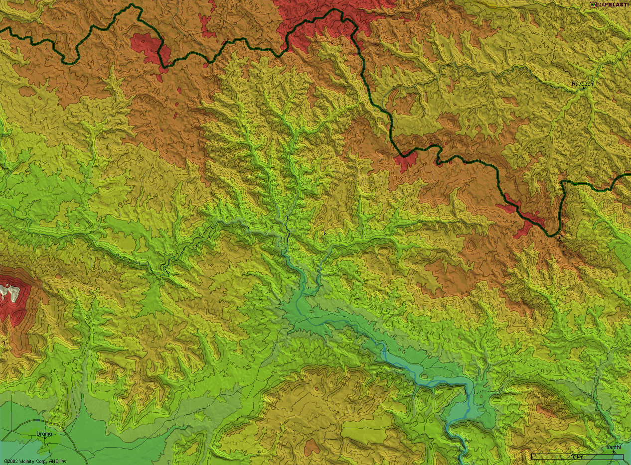
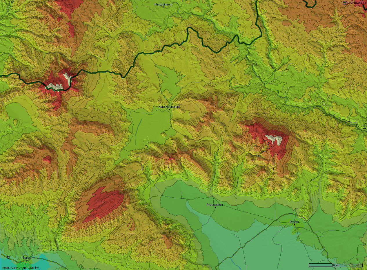
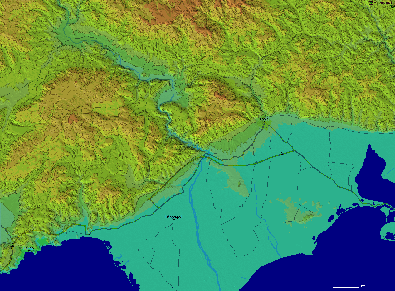
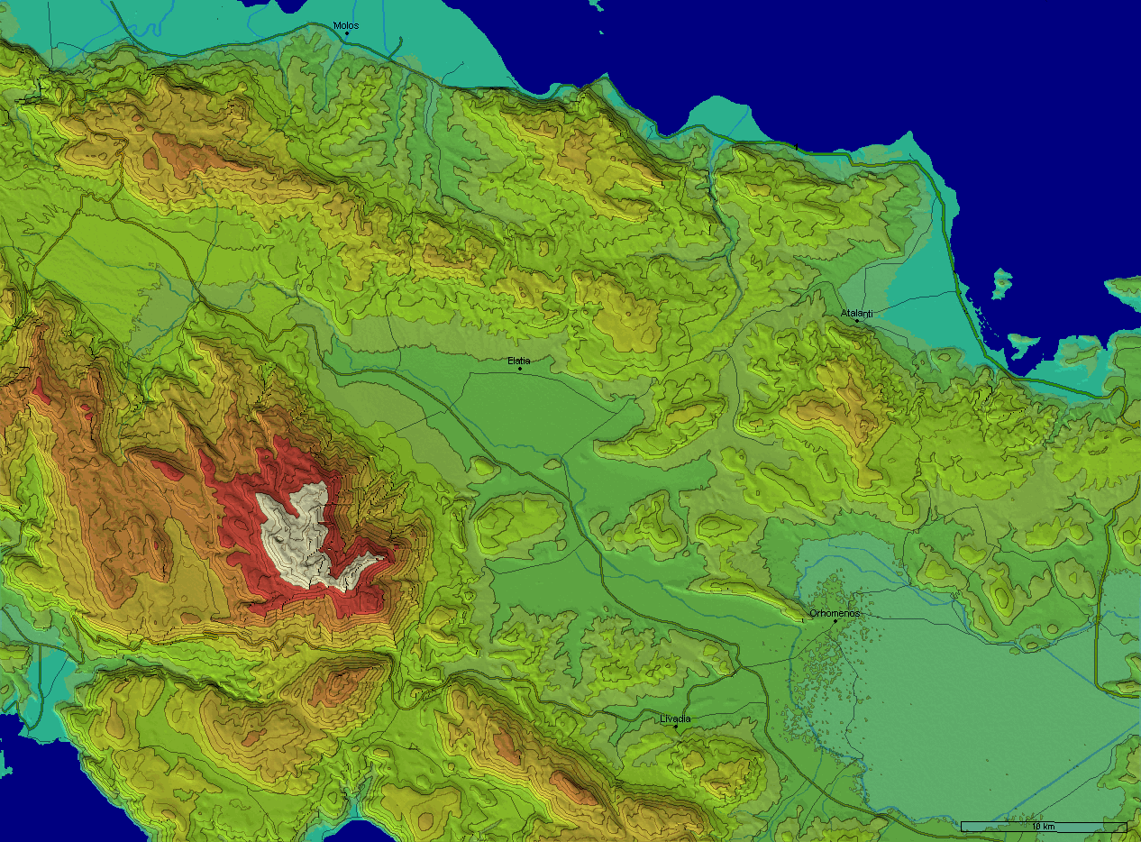
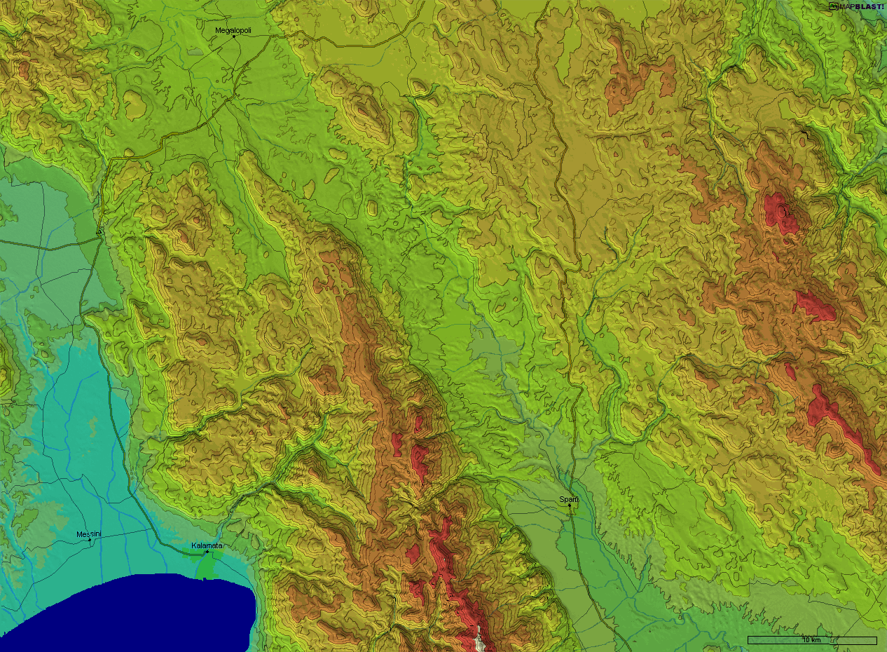
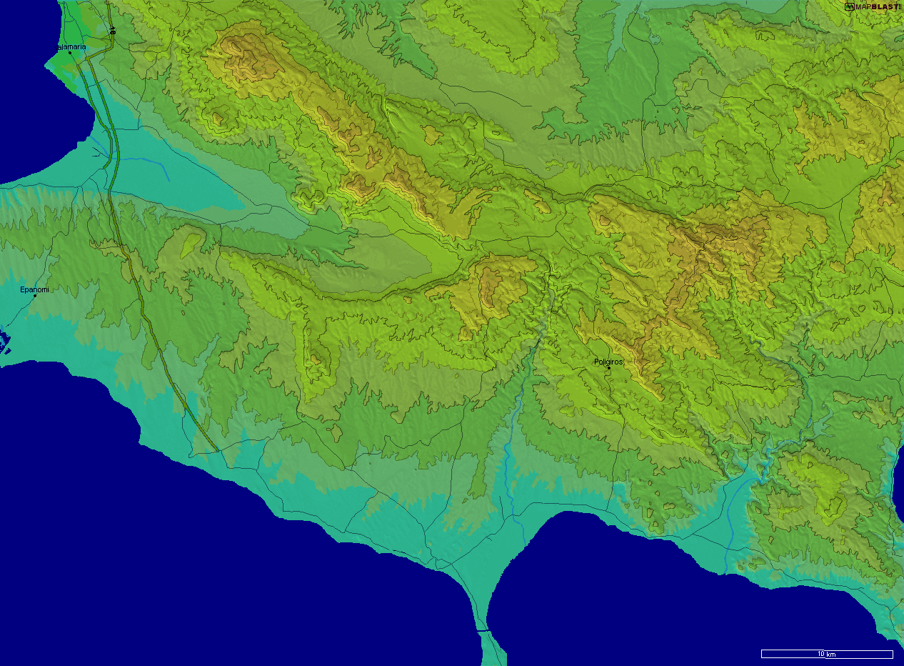
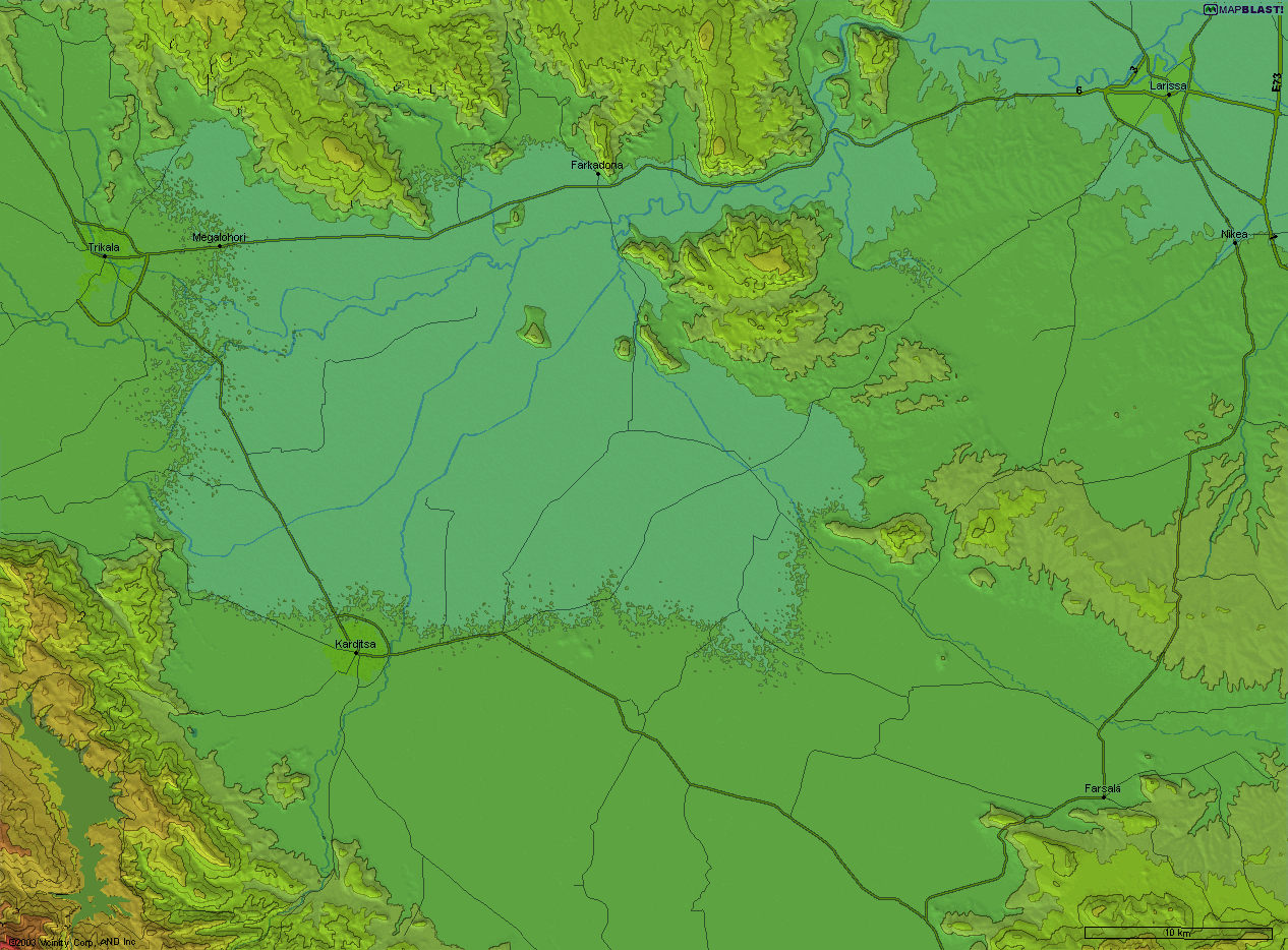
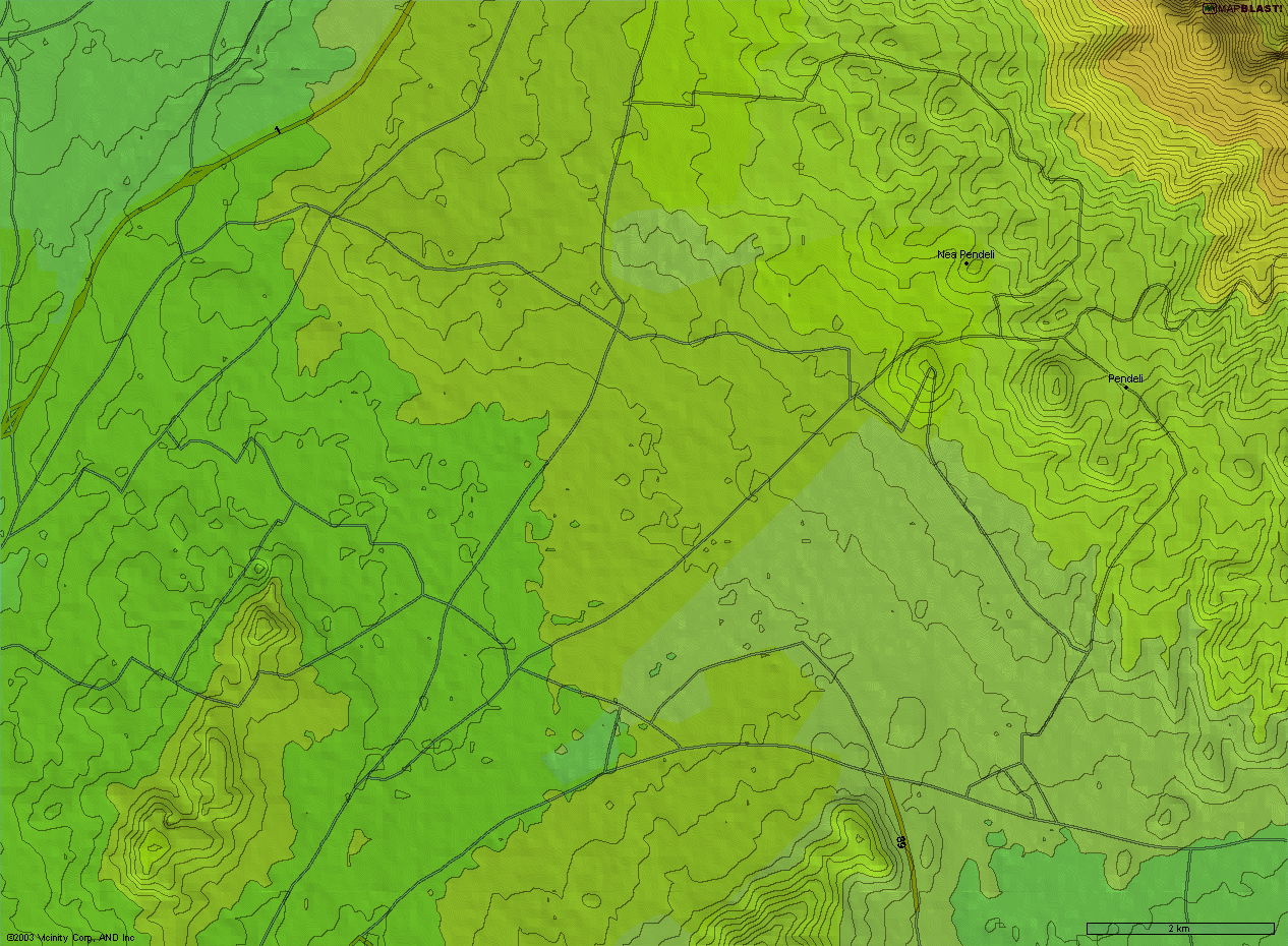
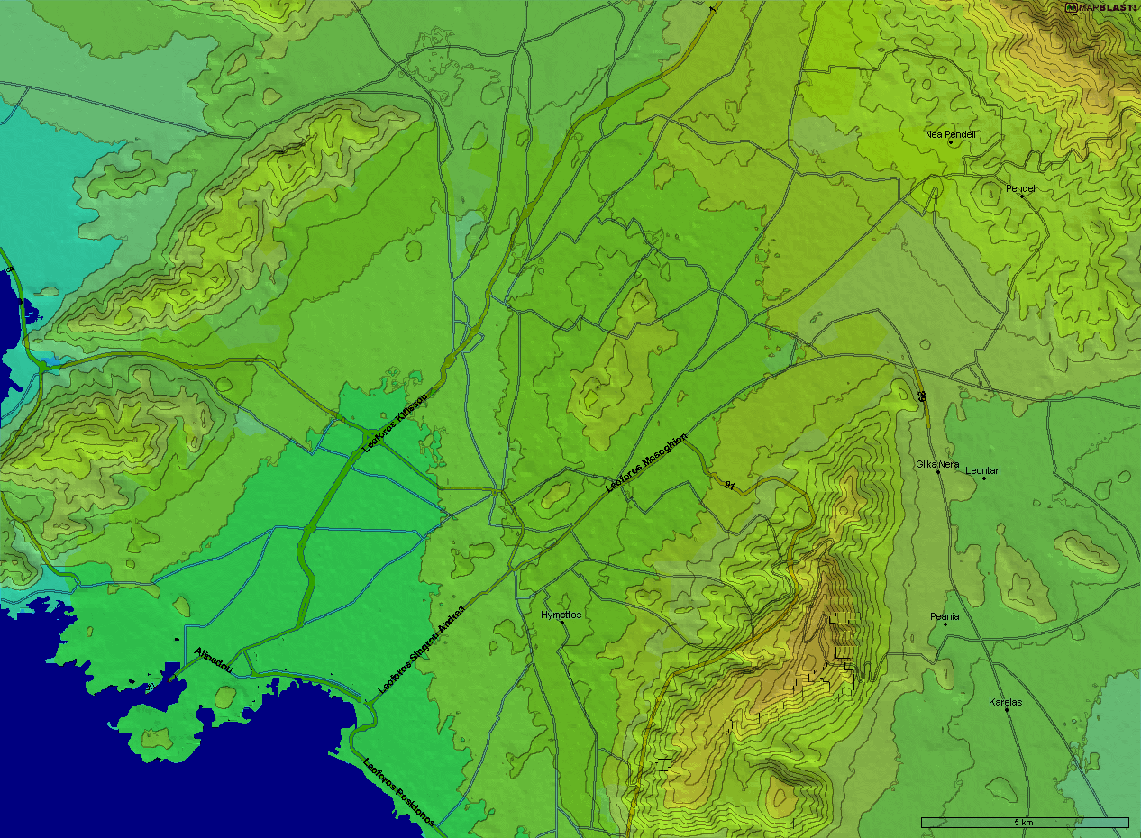
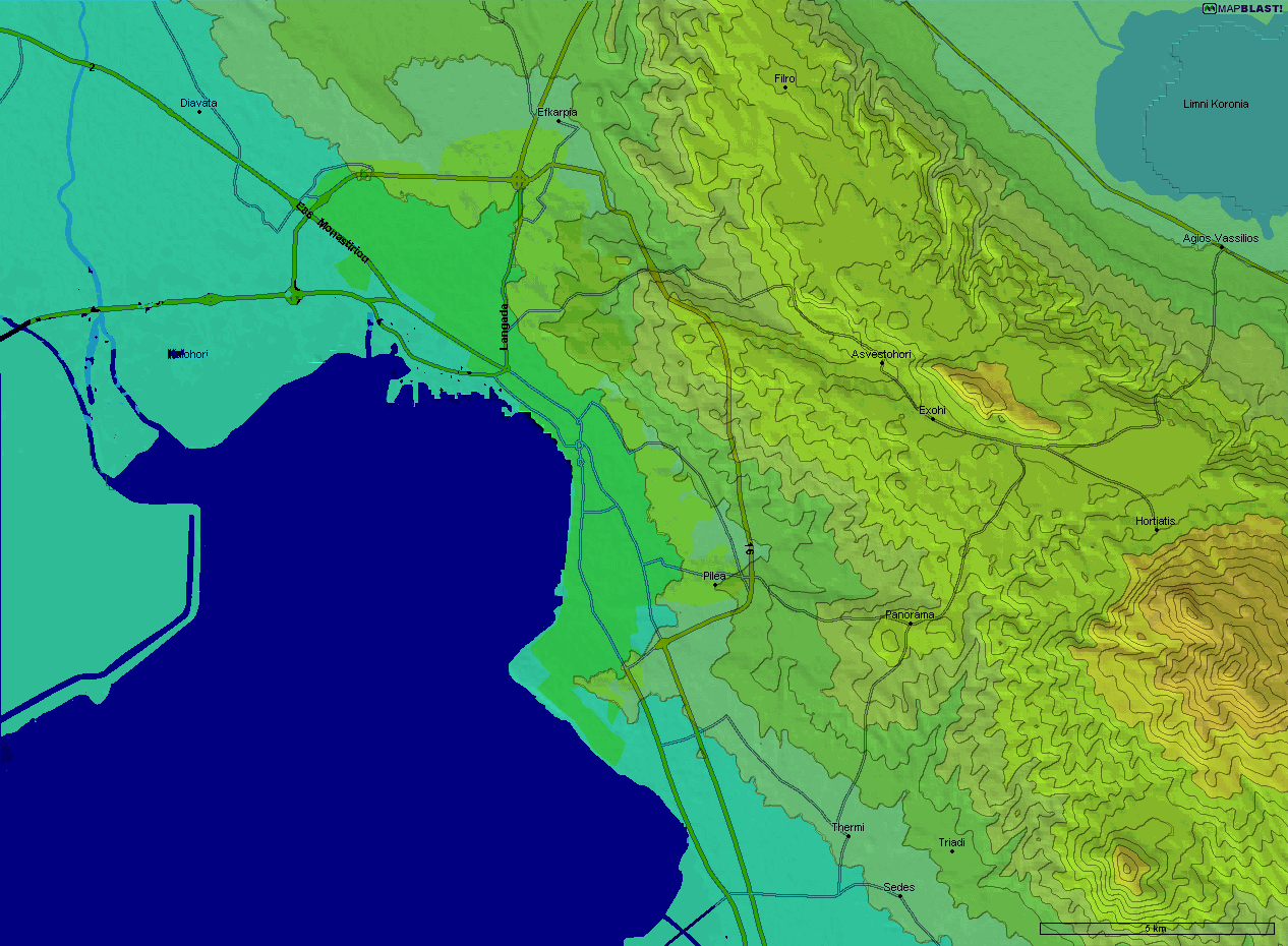
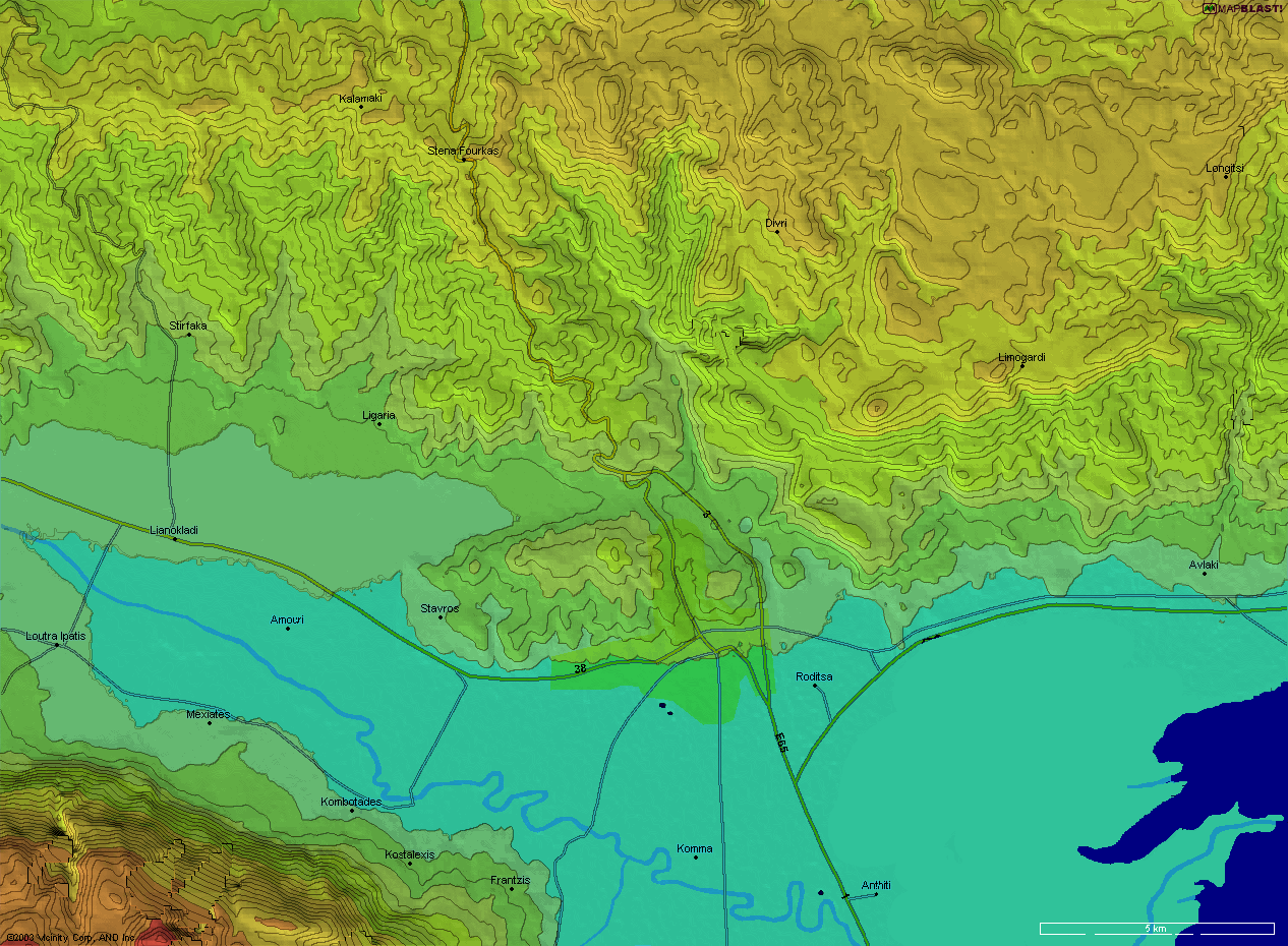
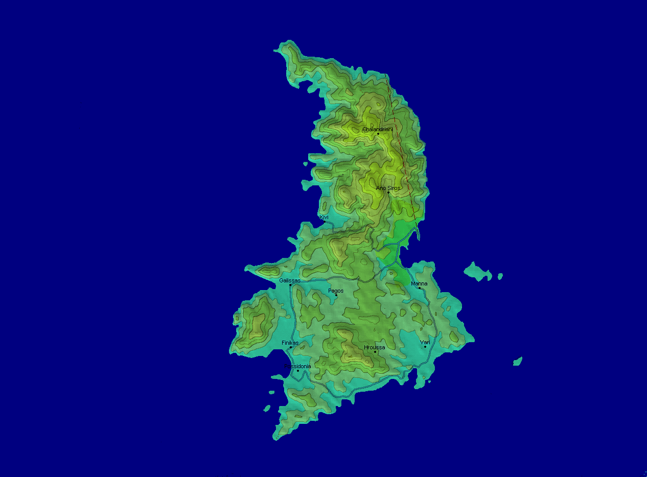
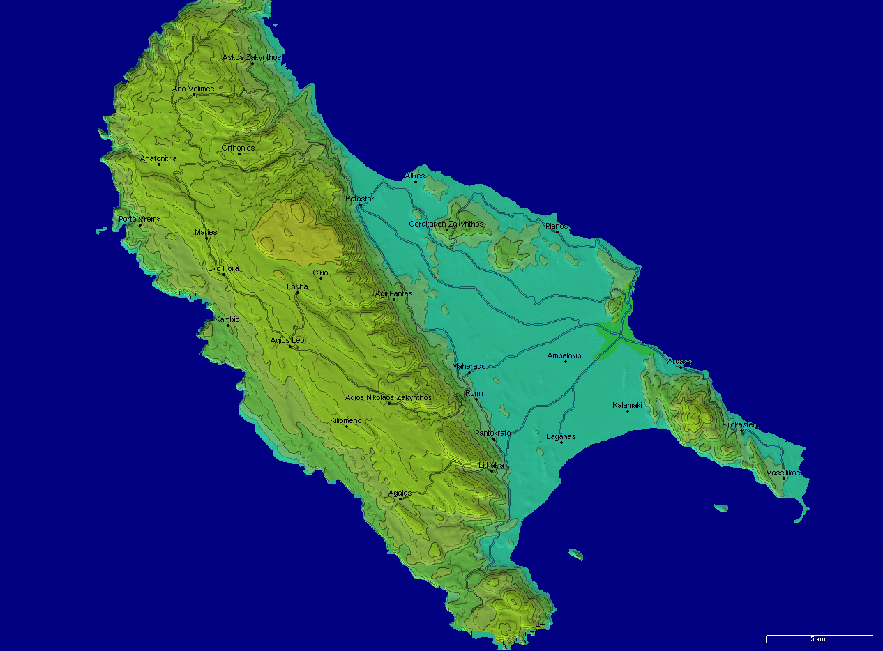
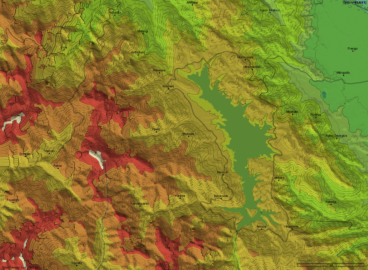
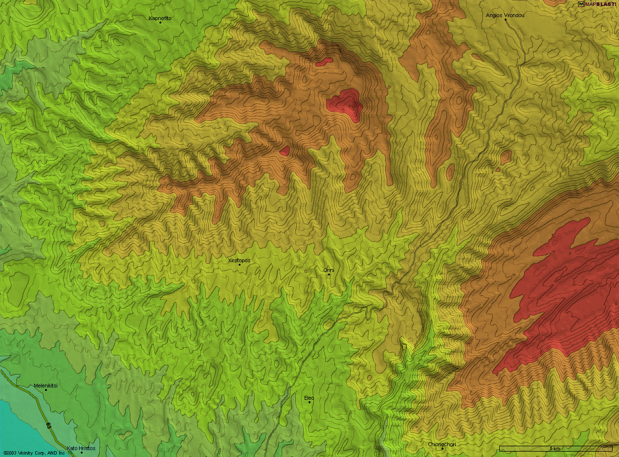
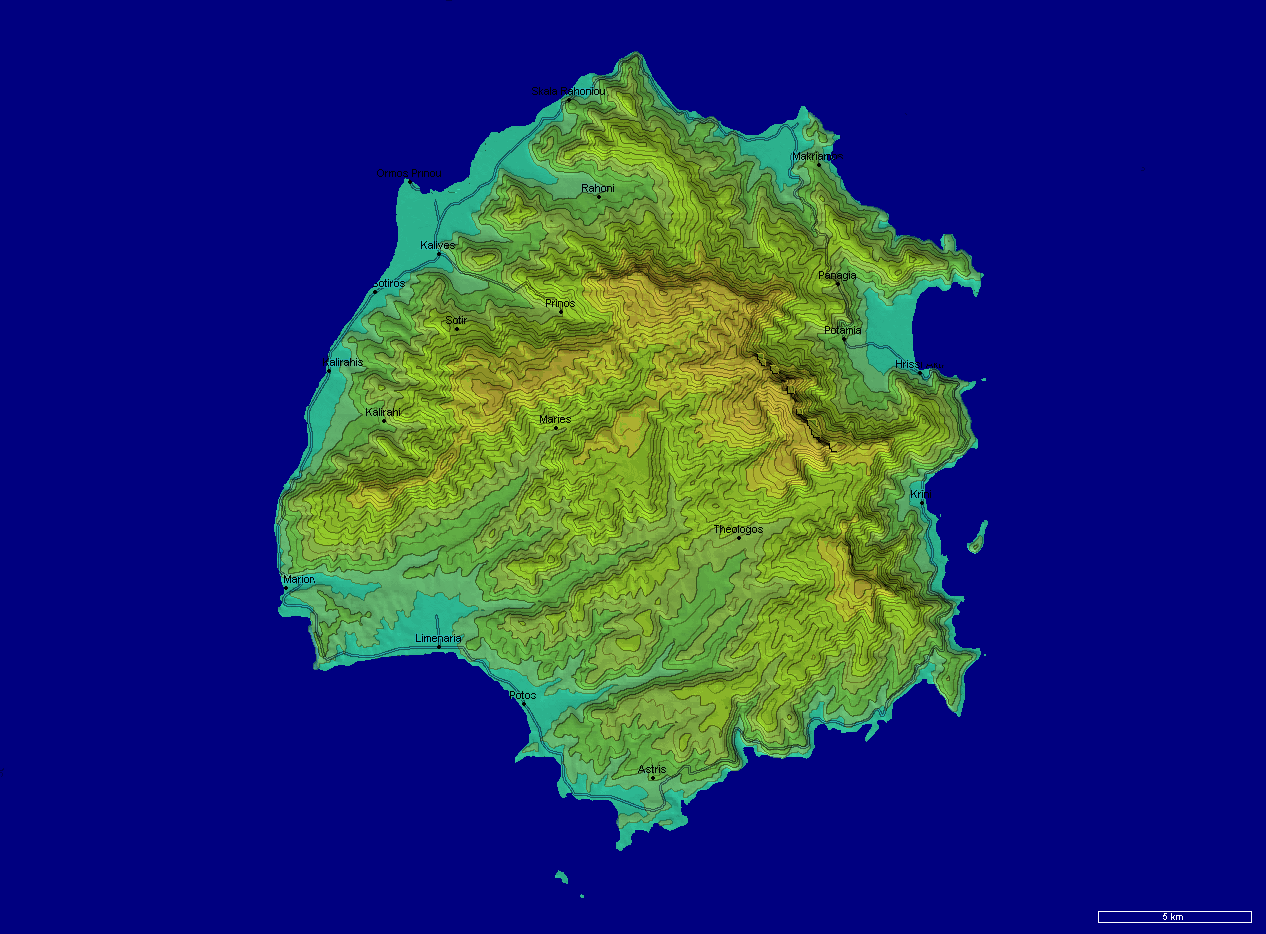
RM series - Geophysical maps of Greece

They will be replaced by other series


Pictures made with Radio Mobile Deluxe by Roger Coude - VE2DBE. The political details are an overlay (multiplied) from MapBlast. This excelent application uses 3 arcsec geo details from the Space Radar program. there is also a mail list where you can subscribe to follow the evolution of this project.

Note1: I design maps for 1280x1024 desktop so the entire map fits on my UI-View in full screen mode without scrolling bars (i hate map shift). If you use lower resolution like 1024x768 etc., it may be better to RESIZE the maps to fit in your window. Resizing does NOT affect correct calibration, so feel free to experiment...

Note2: Maps are stored with a decreased palette of 256 colors to become as small as possible. The PNG format is preffered.


RM25 = 25 Km Range Scale in UI-view!

RM25attica.png
RM25attica.png
284.18 KB
RM25thessaloniki.png
307.63 KB
RM25agrinio.png
RM25agrinio.png
394.42 KB
RM25argostripoli.png
479.95 KB
RM25korinthia.png
RM25korinthia.png
307.04 KB
RM25patra.png
RM25patra.png
369.12 KB
RM25acarnania.png
RM25acarnania.png
306.86 KB
RM25arta.png
RM25arta.png
428.72 KB
RM25didimoticho.png
RM25didimoticho.png
393.40 KB
RM25ioannina.png
RM25ioannina.png
529.48 KB
RM25larissa.png
RM25larissa.png
363.47 KB
RM25trikala.png
RM25trikala.png
489.40 KB
RM25edessa.png
RM25edessa.png
269.23 KB
RM25florina.png
RM25florina.png
418.00 KB
RM25kozani.png
RM25kozani.png
396.87 KB
RM25olympos.png
RM25olympos.png
418.98 KB
RM25prespes.png
RM25prespes.png
416.88 KB
RM25stylis.png
RM25stylis.png
297.01 KB
RM25veria.png
RM25veria.png
356.06 KB
RM25volos.png
RM25volos.png
306.14 KB
RM25argolis1.png
RM25argolis1.png
229.11 KB
RM25chalkida.png
RM25chalkida.png
326.88 KB
RM25drama.png
RM25drama.png
409.19 KB
RM25kerkini.png
RM25kerkini.png
378.21 KB
RM25konitsa.png
RM25konitsa.png
560.61 KB
RM25langadas.png
RM25langadas.png
377.27 KB
RM25nestos.png
RM25nestos.png
518.10 KB
RM25nevrokopi.png
RM25nevrokopi.png
451.55 KB
RM25xanthi.png
RM25xanthi.png
352.86 KB
RM25livadia.png
RM25livadia.png
368.27 KB
RM25taygetos1.png
RM25taygetos1.png
441.39 KB
RM25chalkidiki1.png
RM25chalkidiki1.png
308.98 KB
RM25karditsa.png
RM25karditsa.png
286.26 KB

RM05/10/12/15 = 5, 10, 12, 15 Km Range Scale in UI-view!

RM05athensne.png
RM05athensne.png
393.51 KB
RM10athens.png
RM10athens.png
323.96 KB
RM10thessaloniki.png
222.80 KB
RM10lamia.png
RM10lamia.png
295.33 KB
RM10syros.png
RM10syros.png
82.60 KB
RM15zakynthos.png
RM15zakynthos.png
145.05 KB
RM10megdovas.png
RM10megdovas.png
451.72 KB
RM10vrontous.png
RM10vrontous.png
451.86 KB
RM15thassos.png
RM15thassos.png
167.86 KB

INF files for the above maps:

INF files (ZIP)