AC series - Geophysical (+details) maps of Greece


Pictures made with Radio Mobile Deluxe by Roger Coude - VE2DBE. The political details are an overlay (multiplied) from MapQuest. This excelent application uses 3 arcsec geo details from the Space Radar program. there is also a mail list where you can subscribe to follow the evolution of this project.

Note1: I design maps for 1280x1024 desktop so the entire map fits on my UI-View in full screen mode without scrolling bars (i hate map shift). If you use lower resolution like 1024x768 etc., it may be better to RESIZE the maps to fit in your window. Resizing does NOT affect correct calibration, so feel free to experiment...

Note2: Maps are stored with a decreased palette of 256 colors to become as small as possible. The PNG format is preffered.

Note3: I know maps are DARK! My new display is a superb digital TFT (AOC729) with a gamma very near 1. I also use the new label feature of UI-view (uncheck SHOW LABEL BACKGROUND), and the callsigns look great over the dark map! If you have a CRT display, you can increase the picture gamma (or brightness) with any photo s/w you like. Some programs can also do a mass conversion.


Index image showing Altitude Colors and Lines


AC400 (Hellas) = 400 Km Range Scale in UI-view!

AC400hellas.png
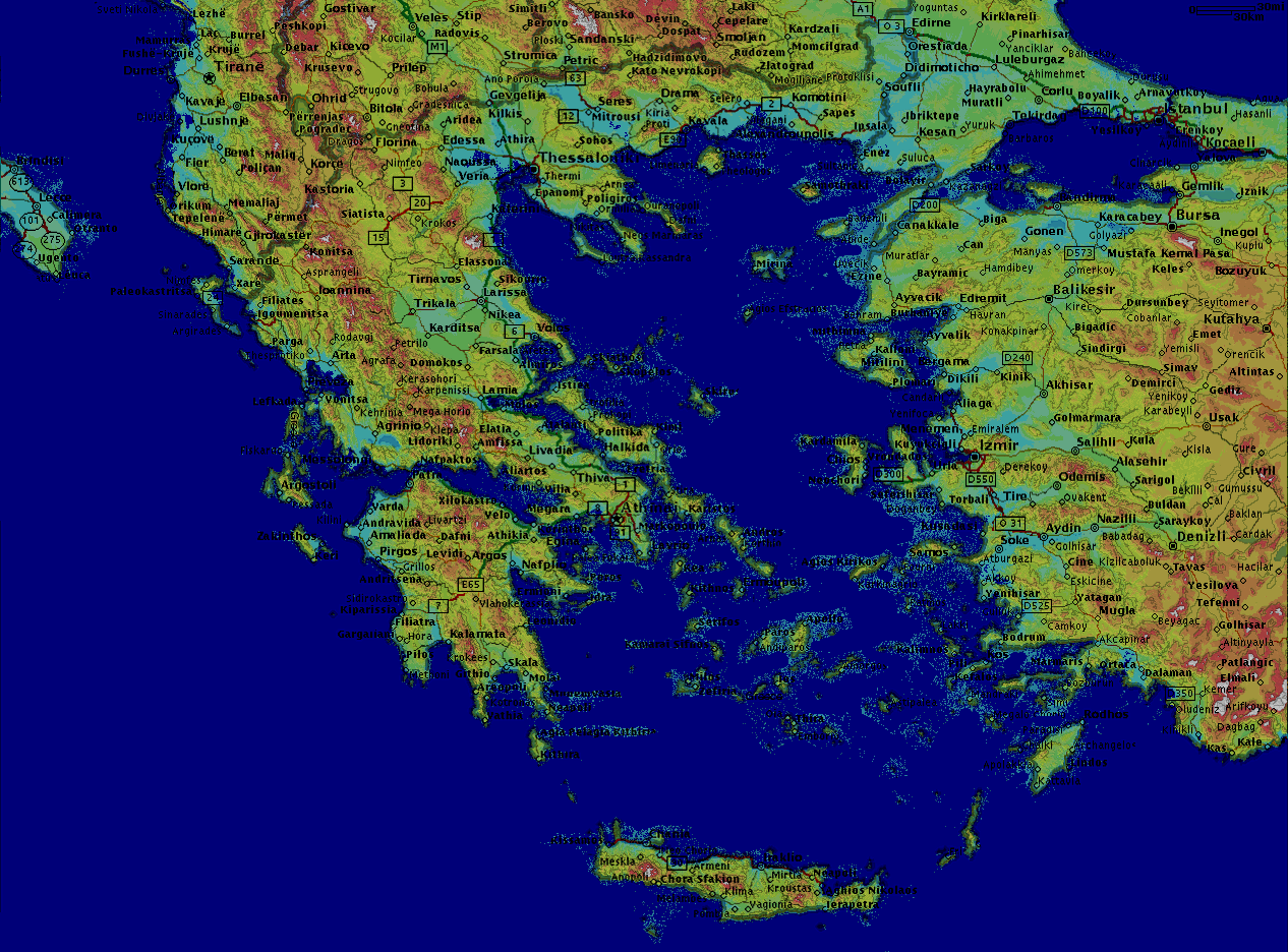
AC400hellas.png
373.83 KB

AC050 = 50 Km Range Scale in UI-view!

AC050thessaly.png
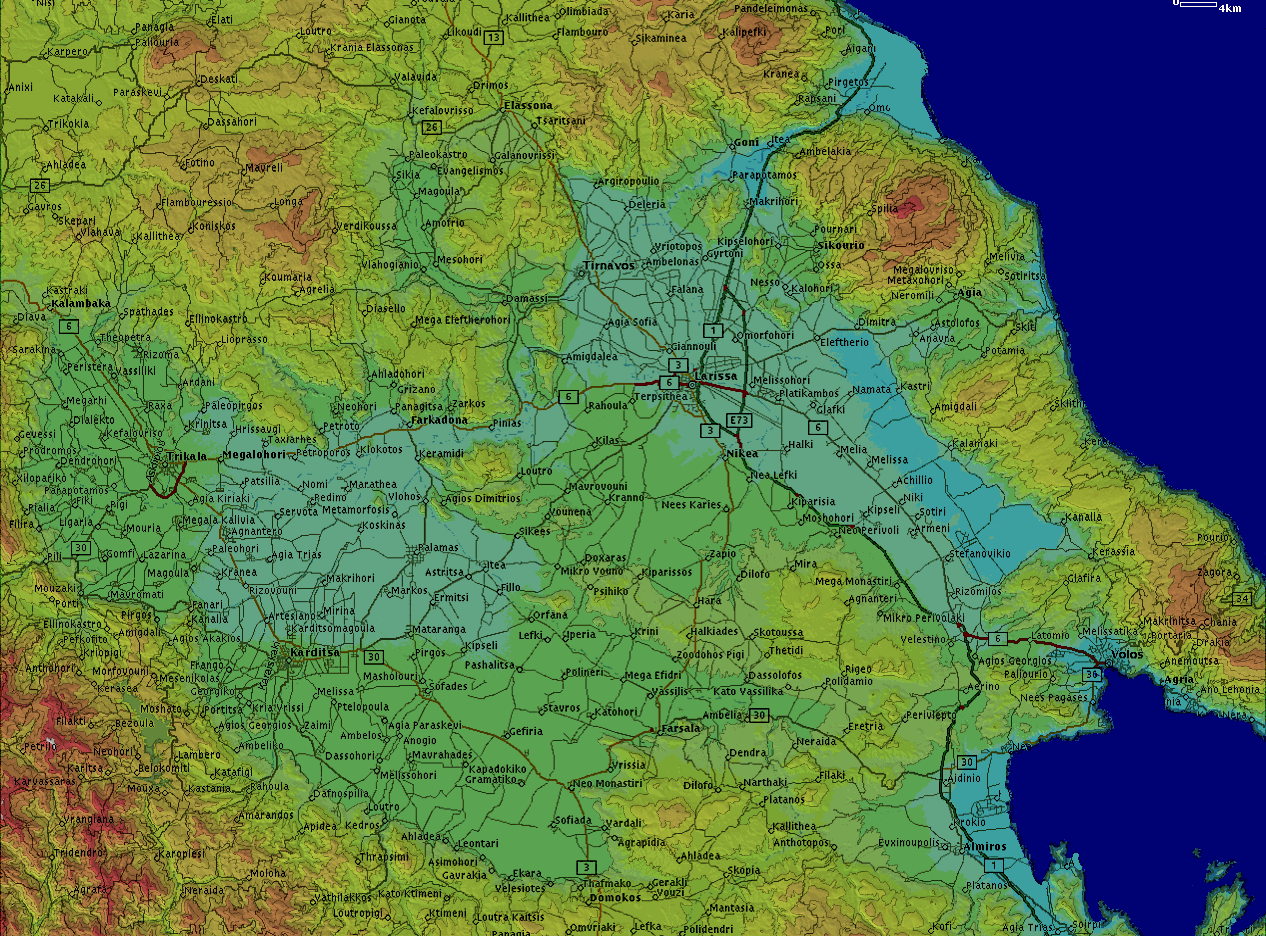
AC050thessaly.png
453.31 KB

AC025 = 25 Km Range Scale in UI-view!

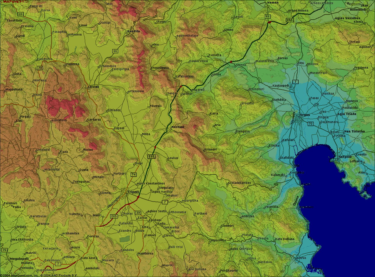
AC025argostripoli.png
443.60 KB
AC025argolis1.png
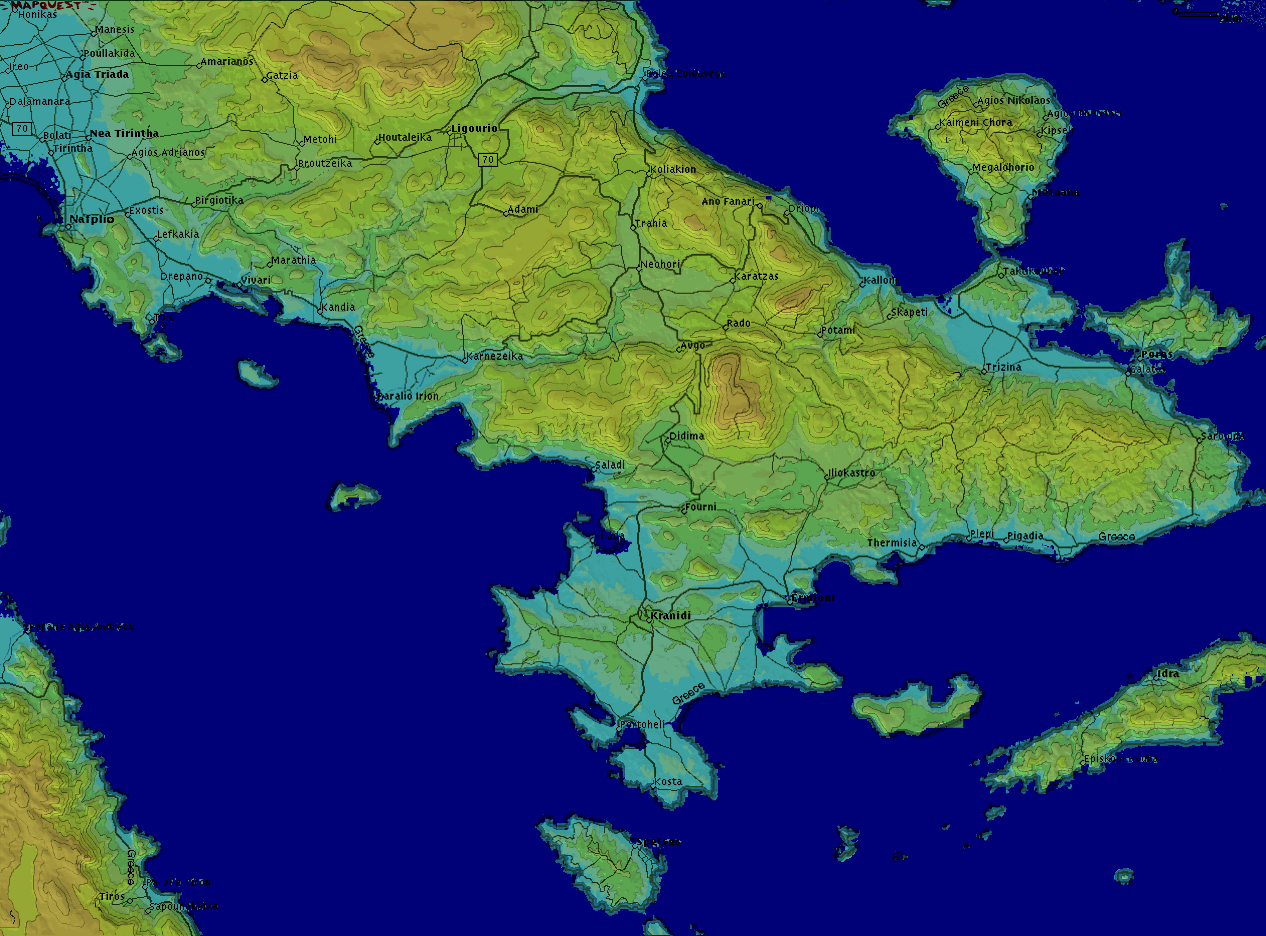
AC025argolis1.png
281.55 KB

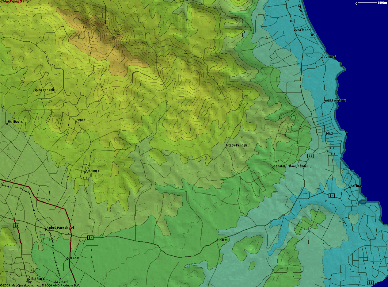
AC015 = 15 Km Range Scale in UI-view!

AC015agiasos.png
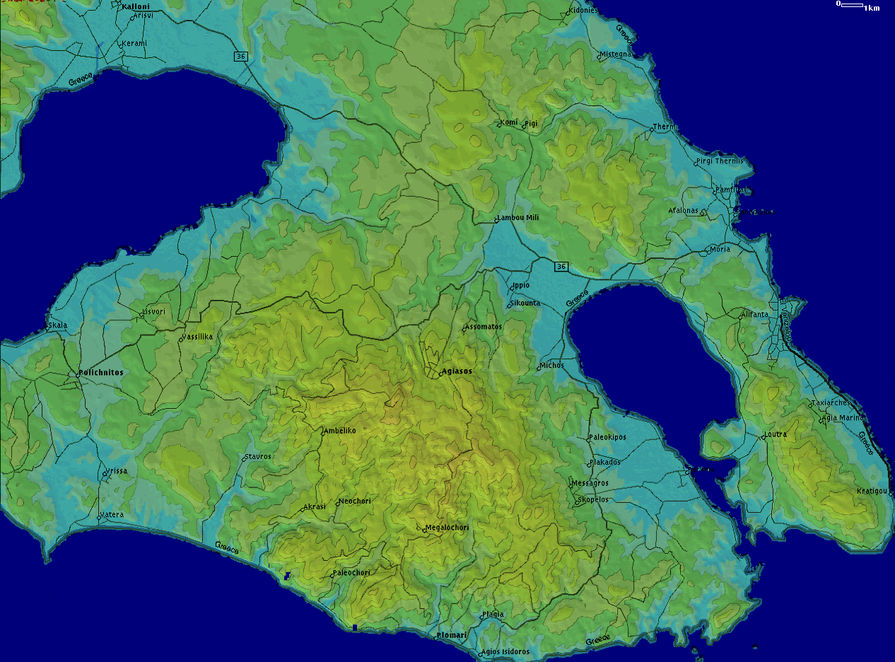
AC015agiasos.png
297.19 KB
AC015athens.png
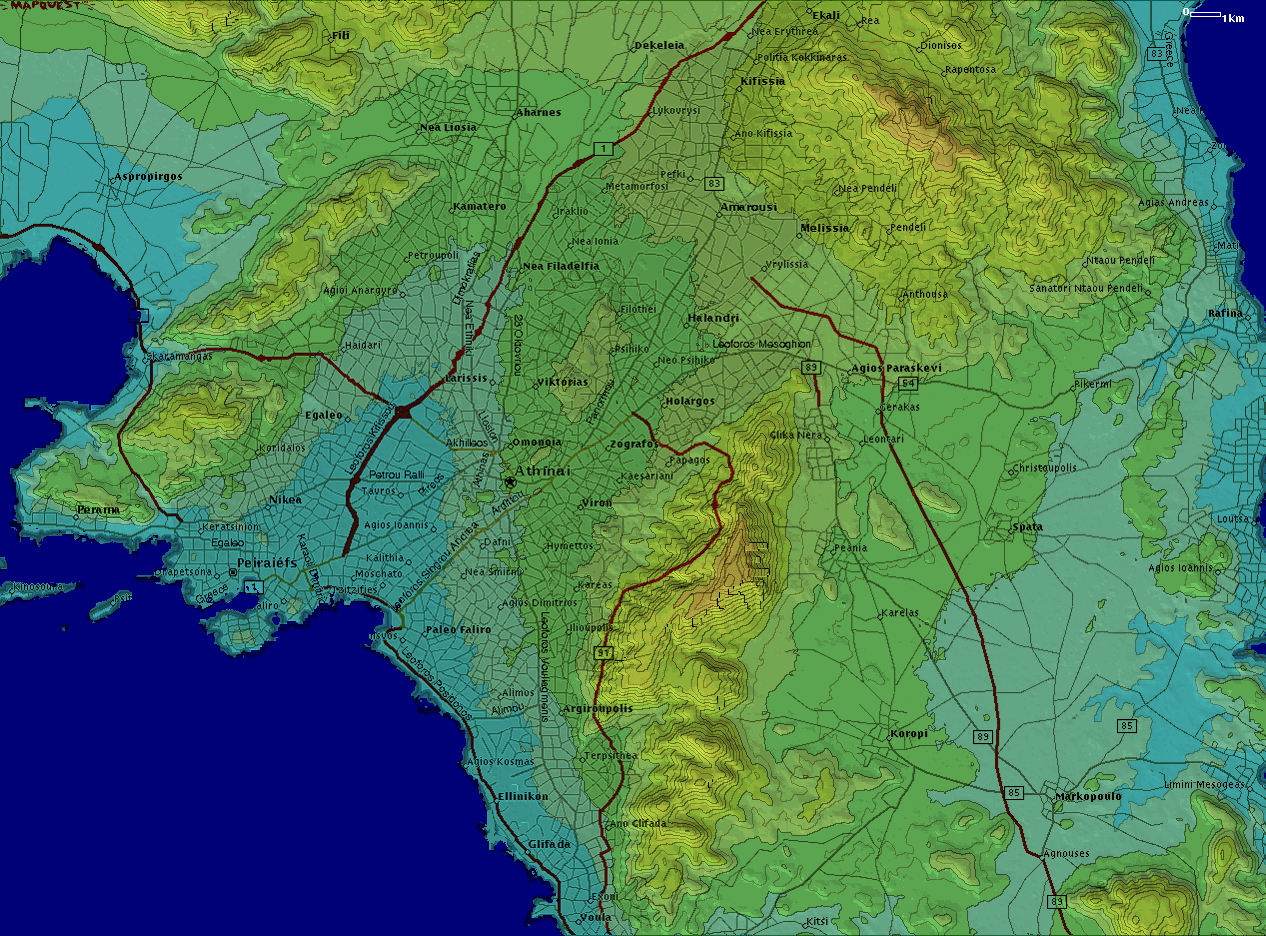
AC015athens.png
359.93 KB
AC015lamia.png
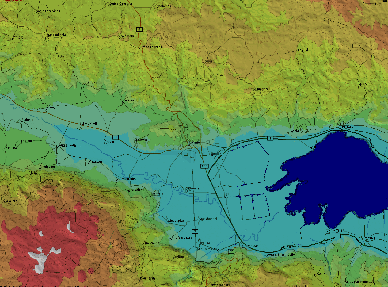
AC015lamia.png
304.42 KB
AC015patra.png
AC015patra.png
310.71 KB
AC015thessaloniki.png
282.30 KB

AC006 = 6 Km Range Scale in UI-view!

Attica

AC006afidnes.png
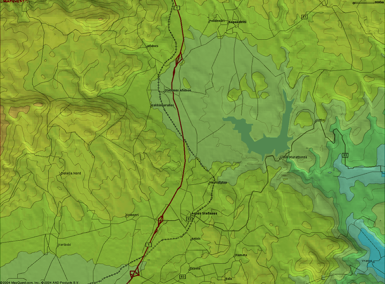
AC006afidnes.png
385.41 KB
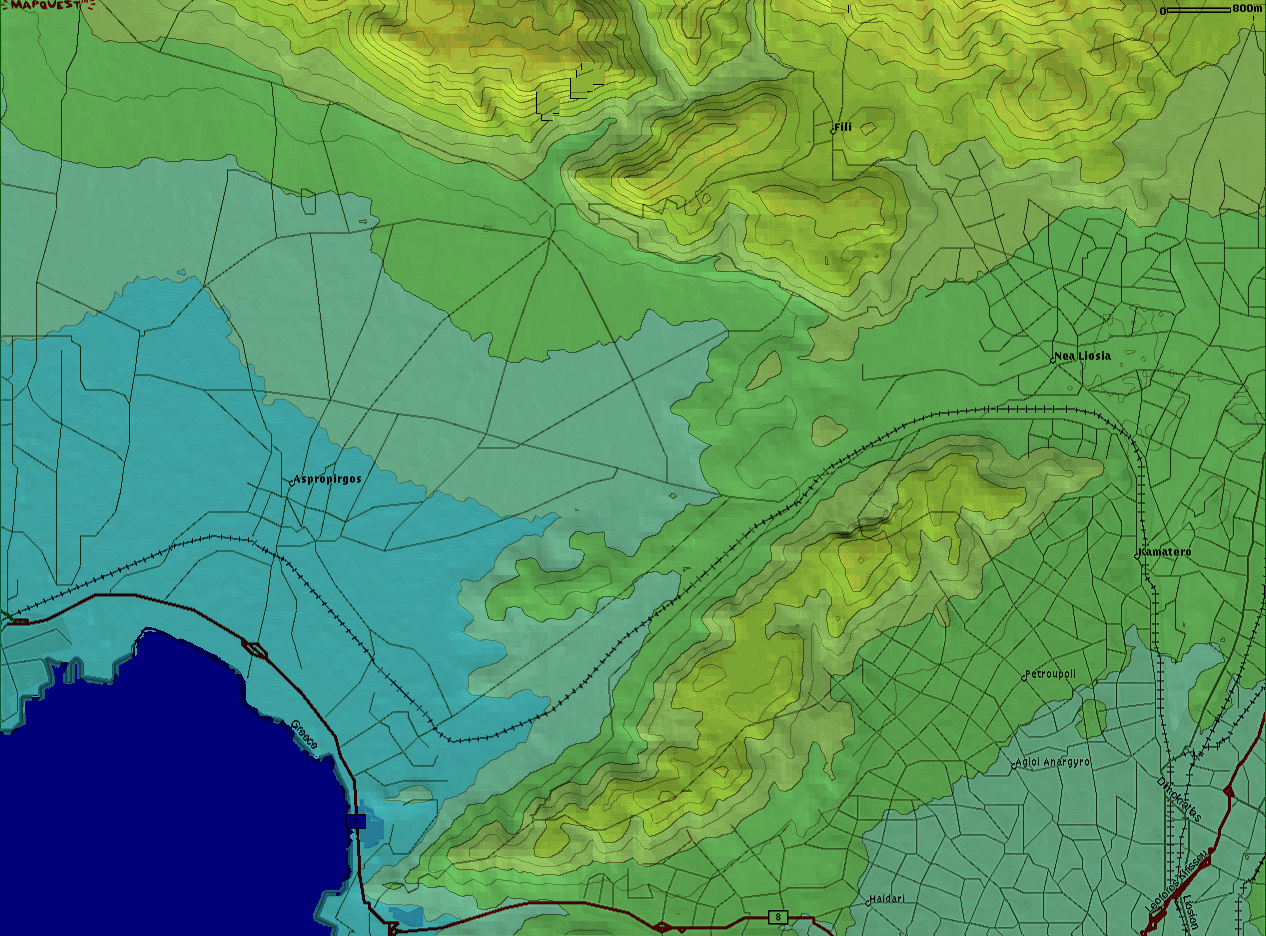
AC006aspropirgos.png
312.47 KB
AC006athens.png
AC006athens.png
340.50 KB
AC006rafina.png
AC006rafina.png
362.12 KB
AC006spata.png
AC006spata.png
272.36 KB

Thessaloniki

AC006thessaloniki.png
346.02 KB

Lamia

AC006lamia.png
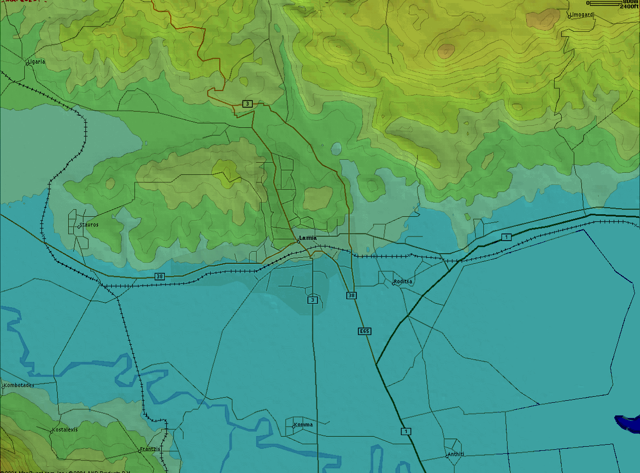
AC006lamia.png
247.15 KB

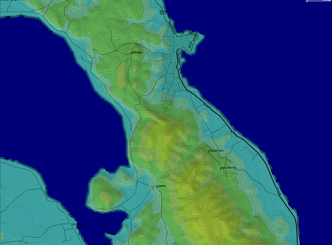
AC005 = 5 Km Range Scale in UI-view!

AC005mytilini.png
AC005mytilini.png
242.83 KB
AC005spetses.png
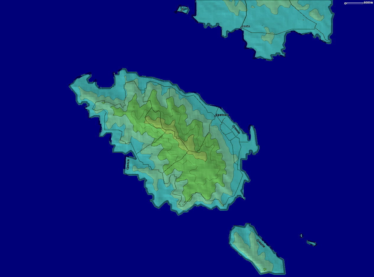
AC005spetses.png
117.44 KB

AC003 = 3 Km Range Scale in UI-view!

AC003athens.png
AC003athens.png
521.87 KB

AC002 = 2 Km Range Scale in UI-view!

AC002agrinio.png
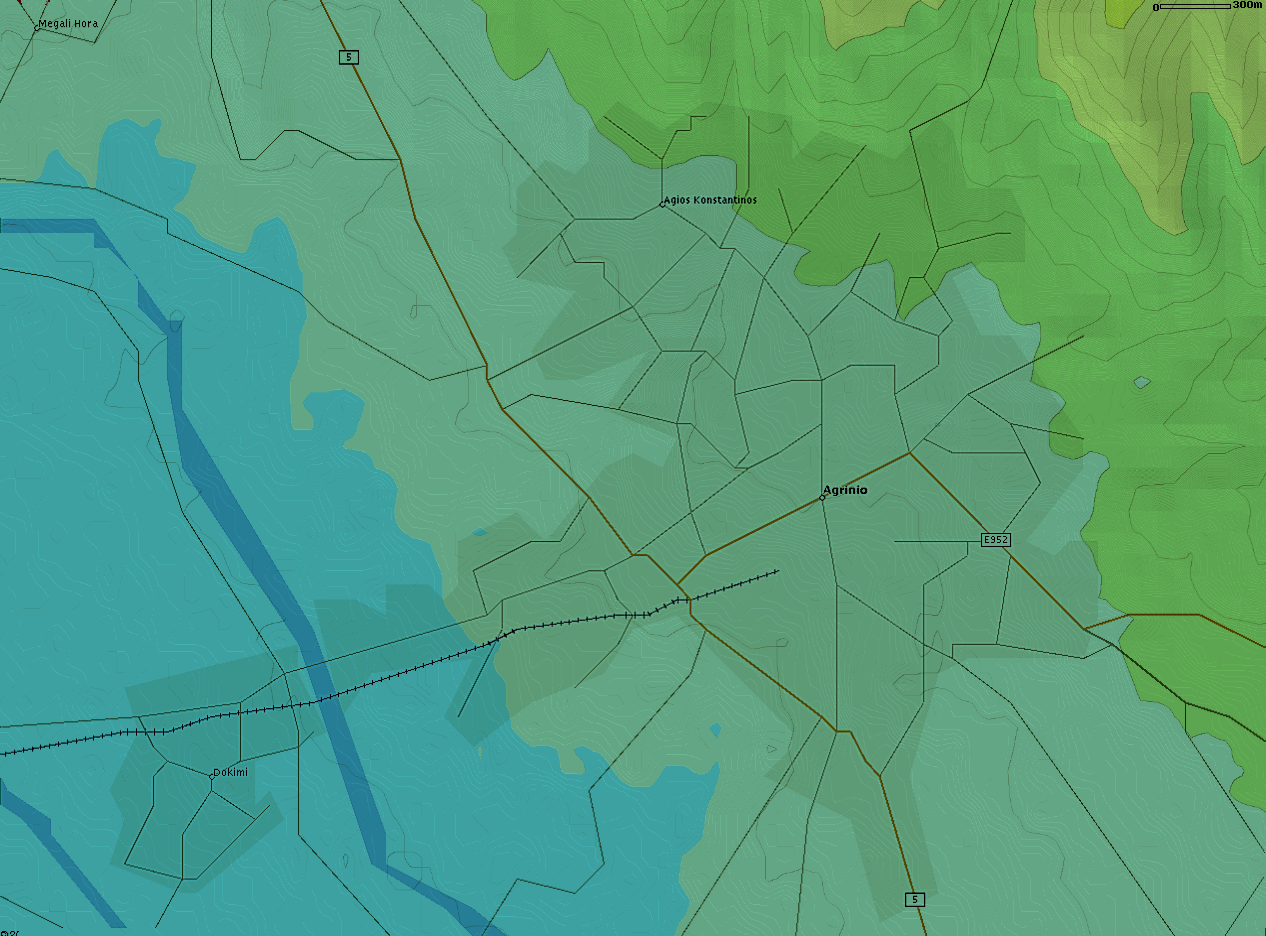
AC002agrinio.png
251.24 KB
AC002iraklio.png
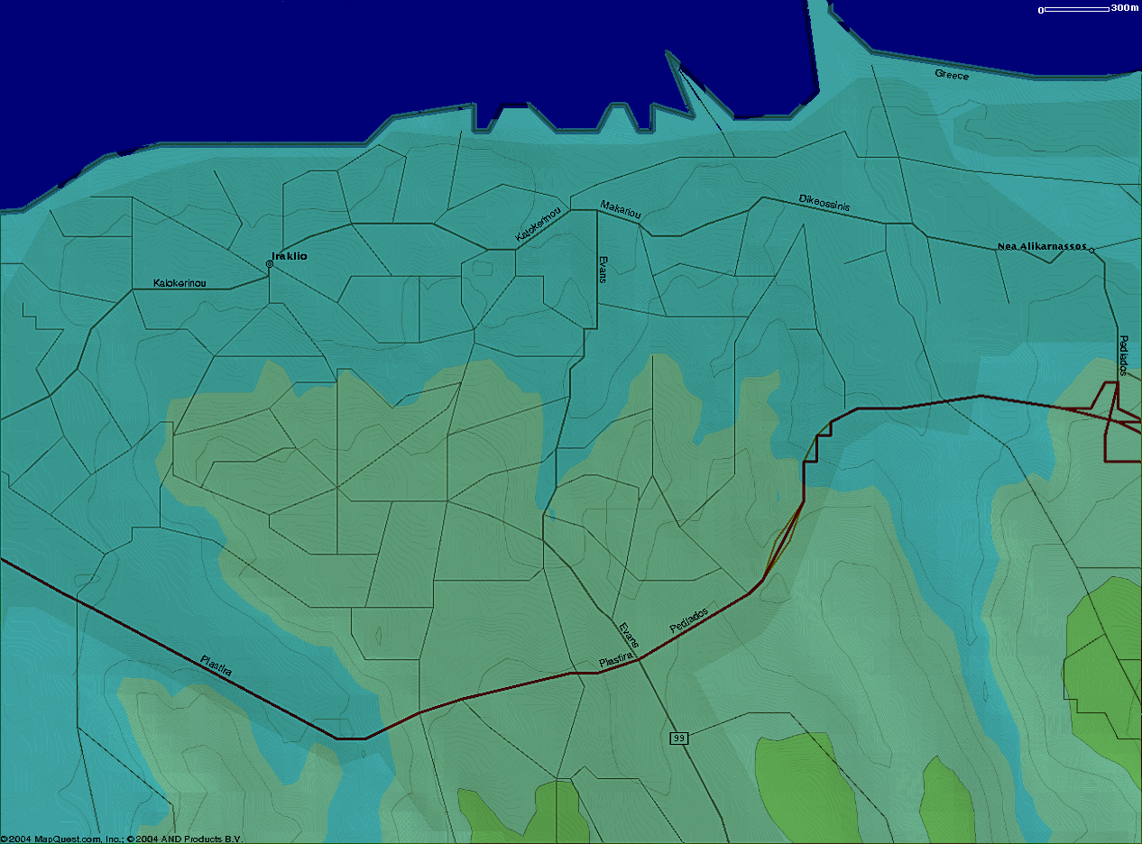
AC002iraklio.png
267.30 KB
AC002katerini.png
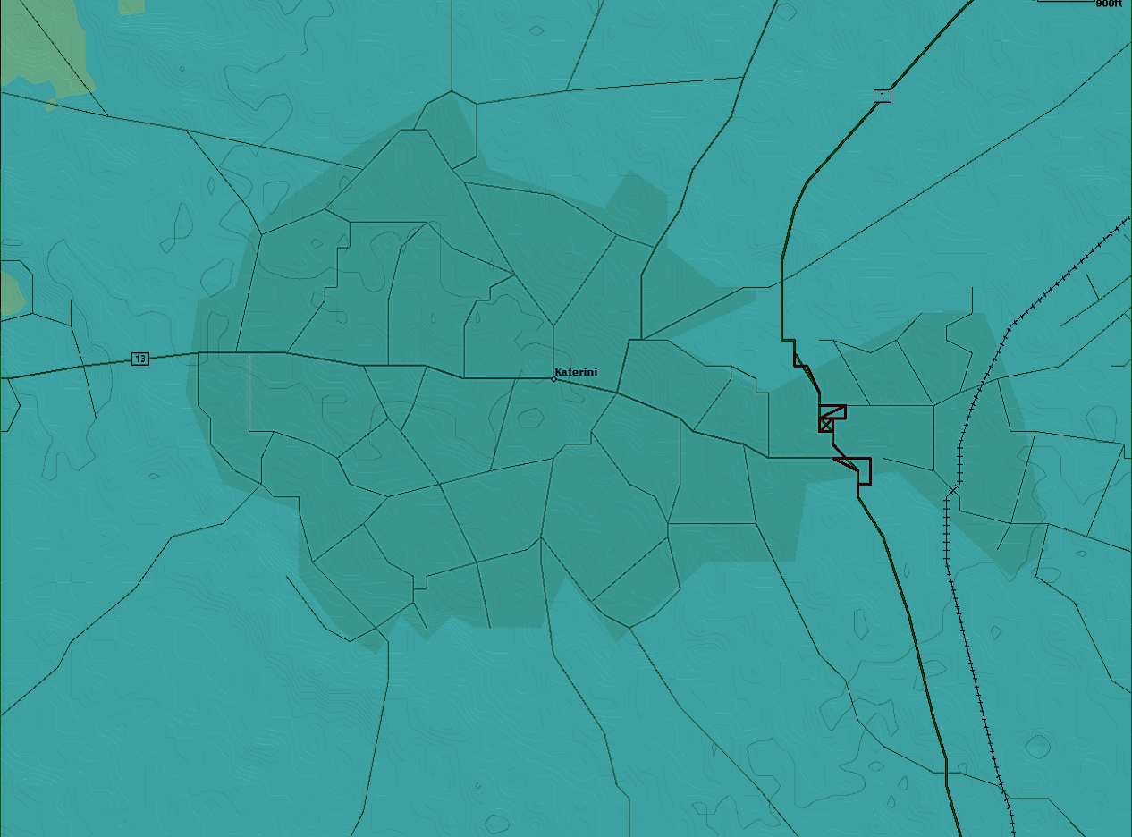
AC002katerini.png
198.96 KB
AC002lamia.png
AC002lamia.png
359.97 KB

INF files for the above maps:

INF files (ZIP)