AE/AF = 32 Km Range Scale in UI-view!
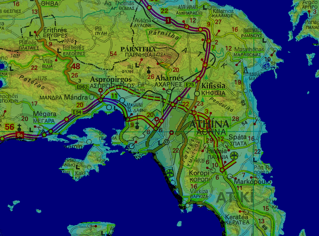 AEathens.png 354.44 KB |
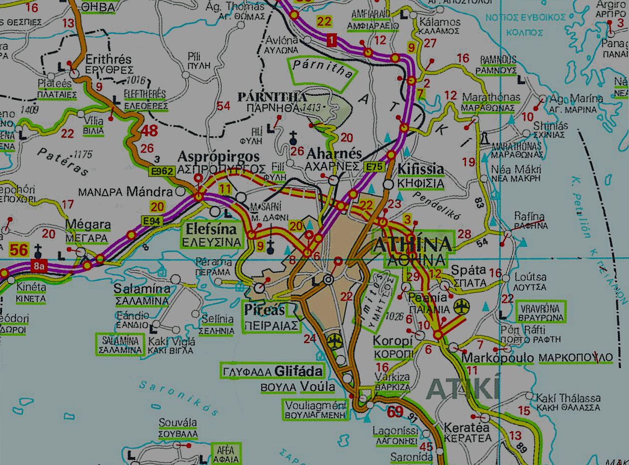 AFathens.png 452.52 KB |
Pictures made with Radio Mobile Deluxe by Roger Coude - VE2DBE. The political details are an overlay (multiplied).
Note1: I design maps for 1280x1024 desktop so the entire map fits on my UI-View in full screen mode without scrolling bars (i hate map shift). If you use lower resolution like 1024x768 etc., it may be better to RESIZE the maps to fit in your window. Resizing does NOT affect correct calibration, so feel free to experiment...
Note2: Maps are stored with a decreased palette of 256 colors to become as small as possible. The PNG format is preffered.
Note3: I know maps are DARK! My new display is a superb digital TFT (AOC729) with a gamma very near 1. I also use the new label feature of UI-view (uncheck SHOW LABEL BACKGROUND), and the callsigns look great over the dark map! If you have a CRT display, you can increase the picture gamma (or brightness) with any photo s/w you like. Some programs can also do a mass conversion.
|
AEathens.png 354.44 KB |
AFathens.png 452.52 KB |