AM series - Political maps
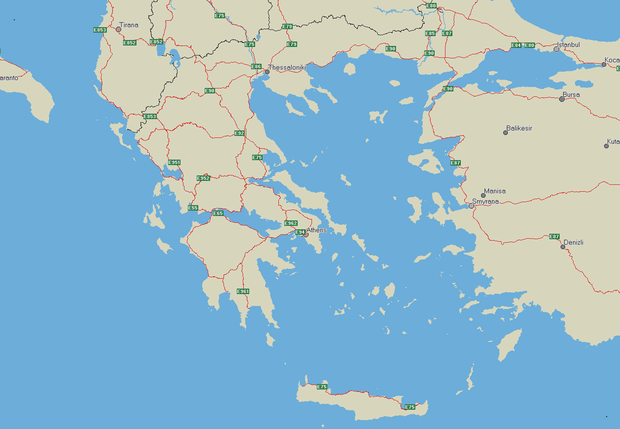
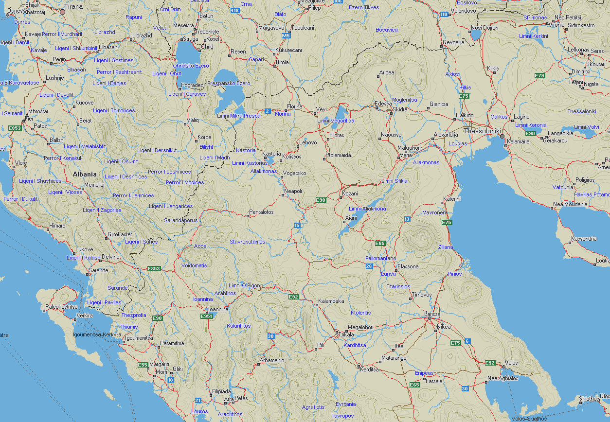
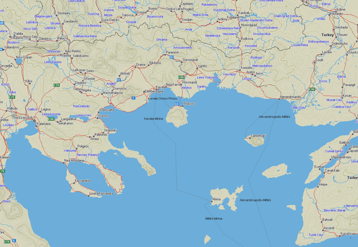
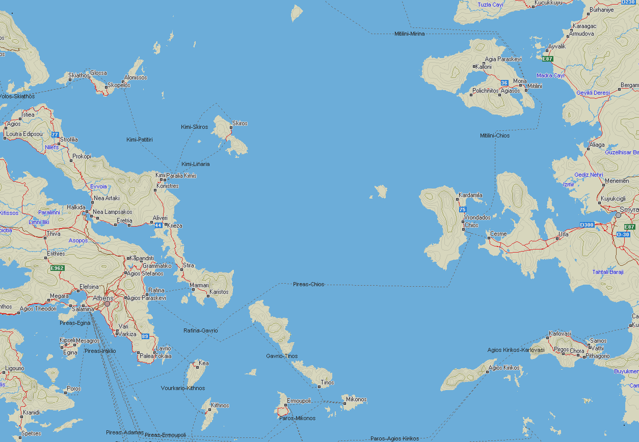
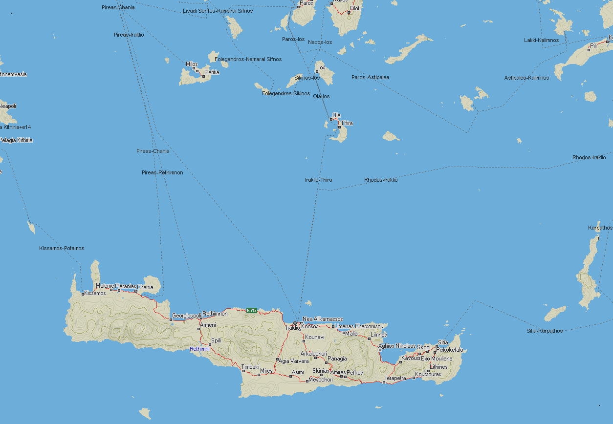
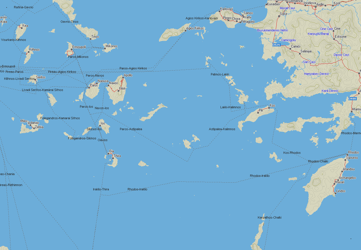
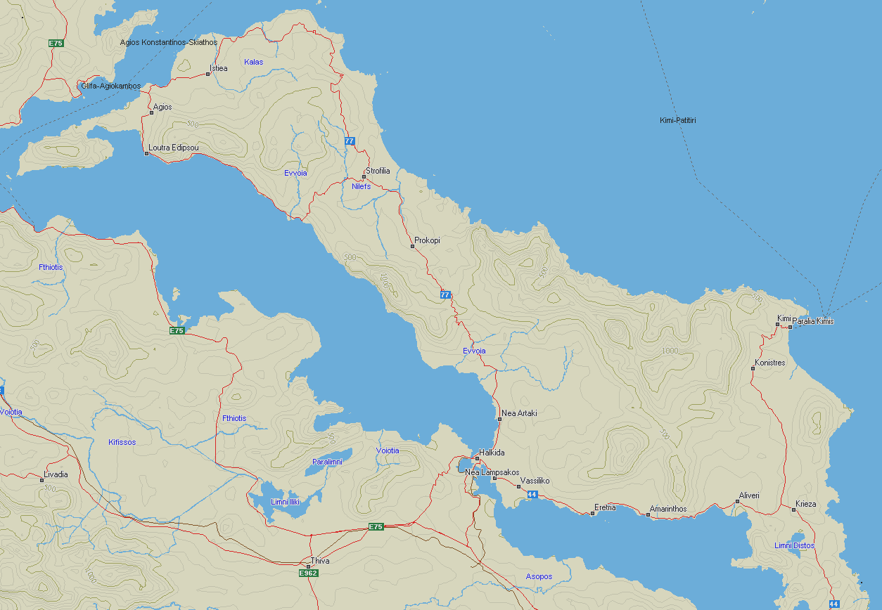
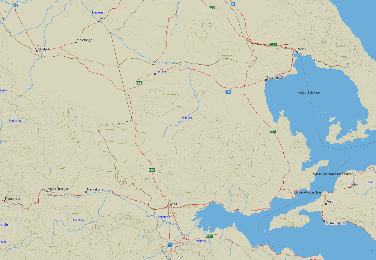
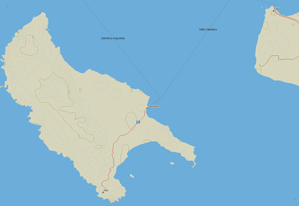
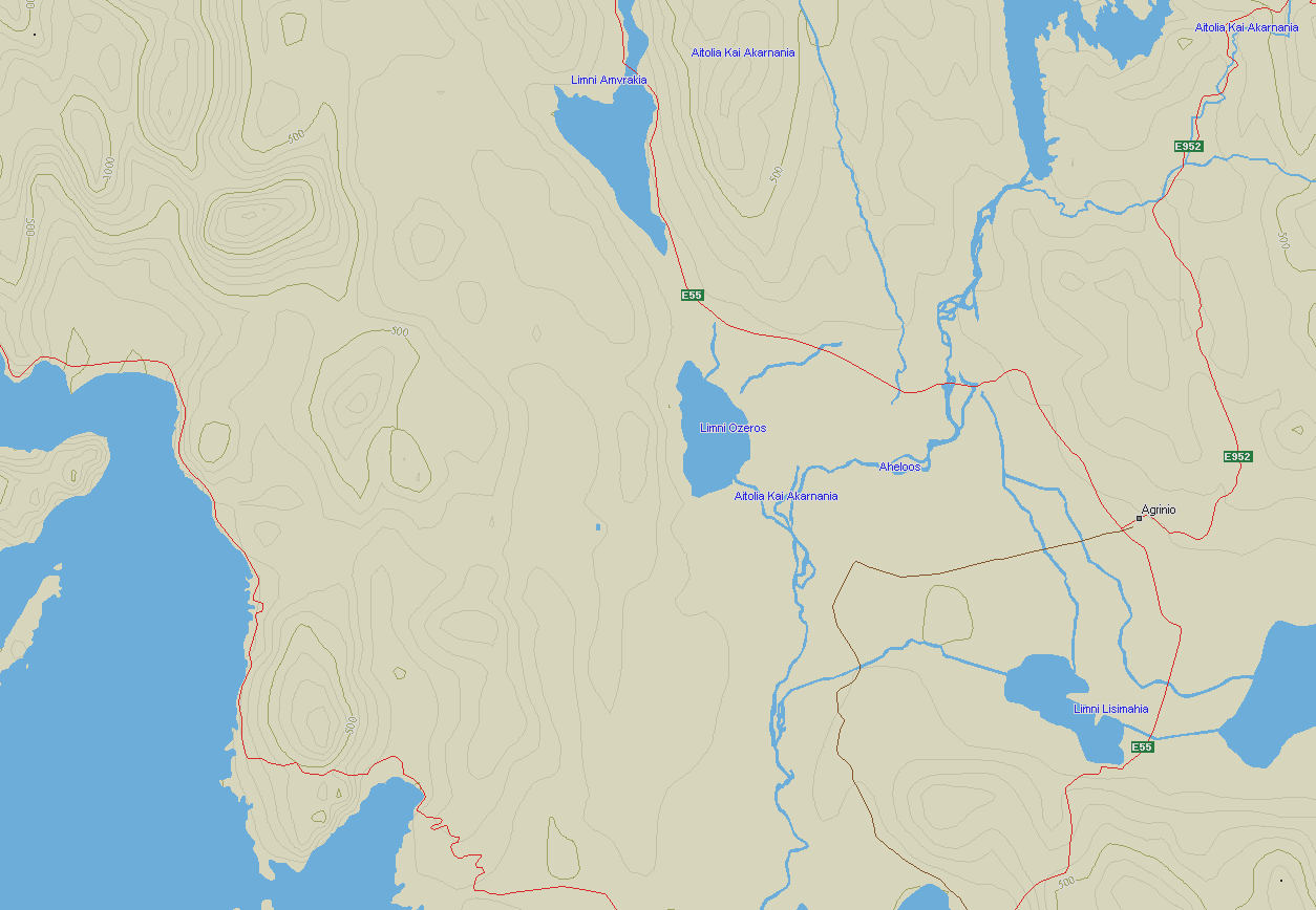
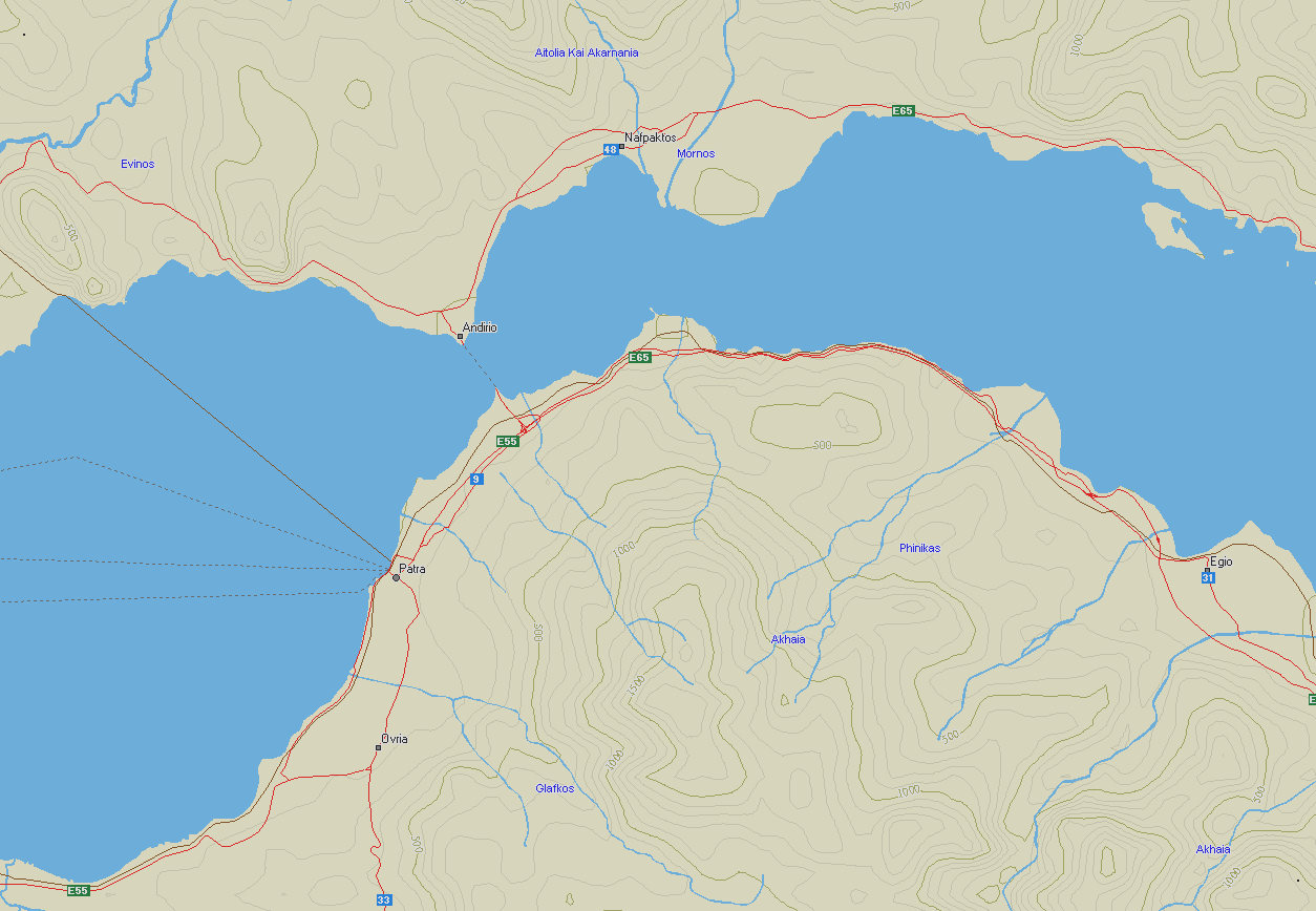
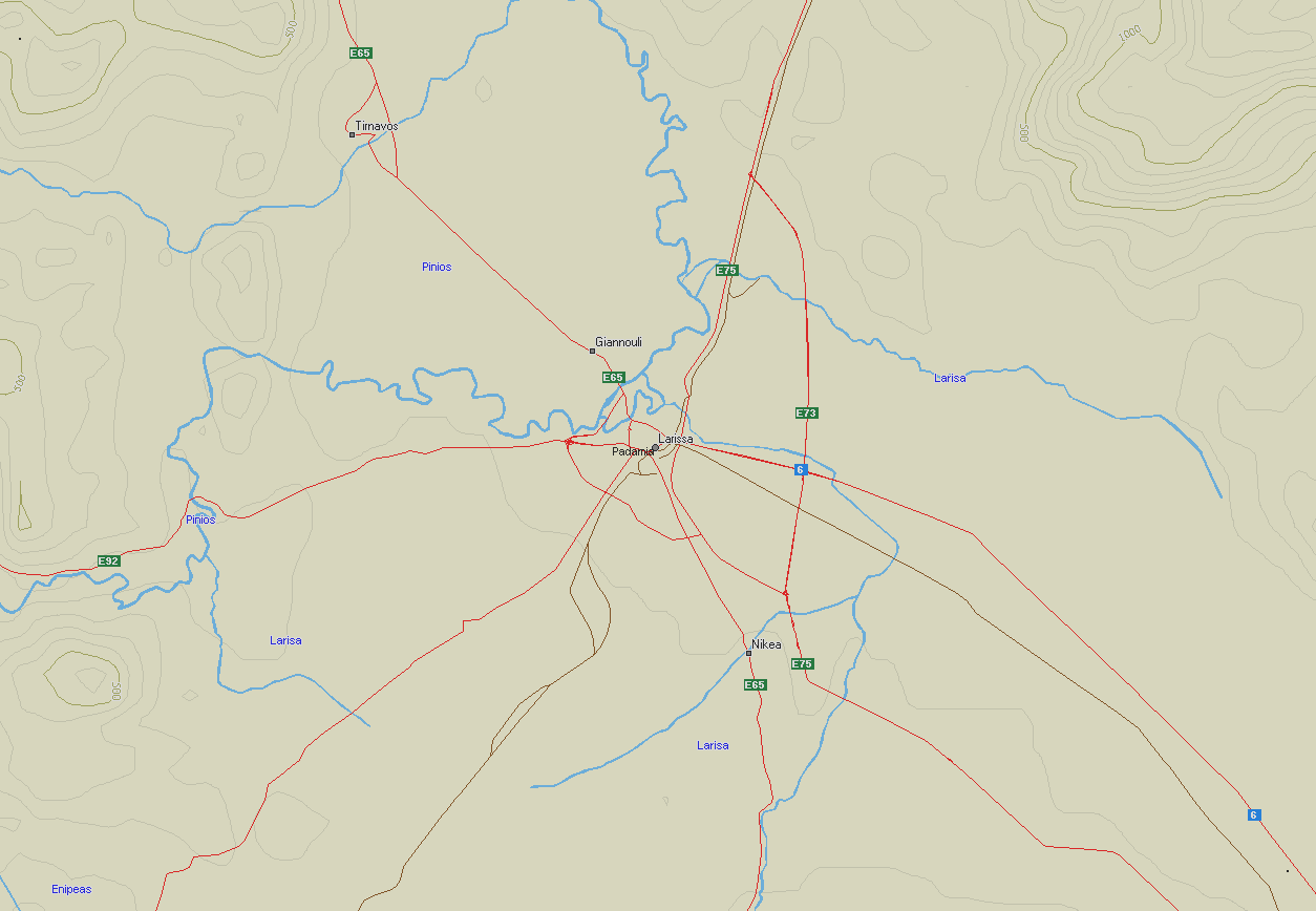
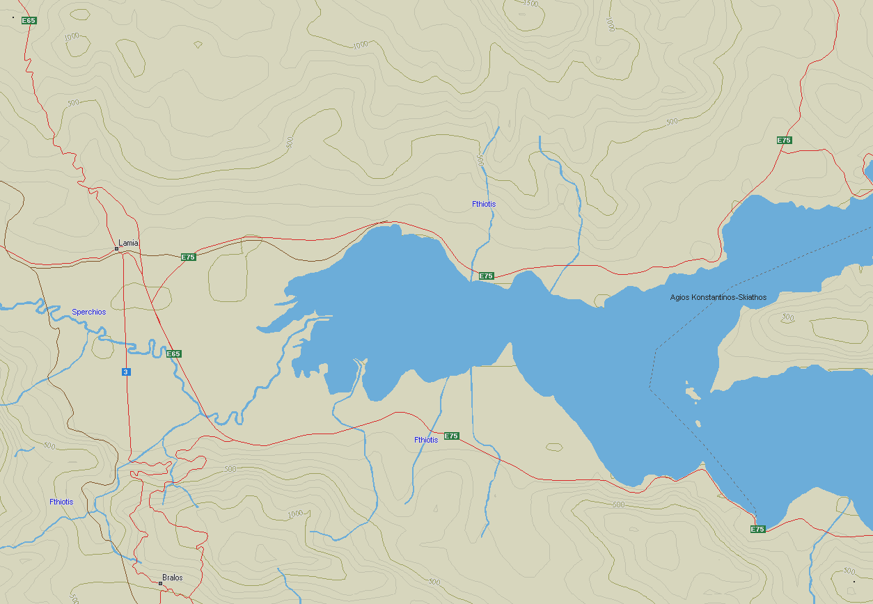
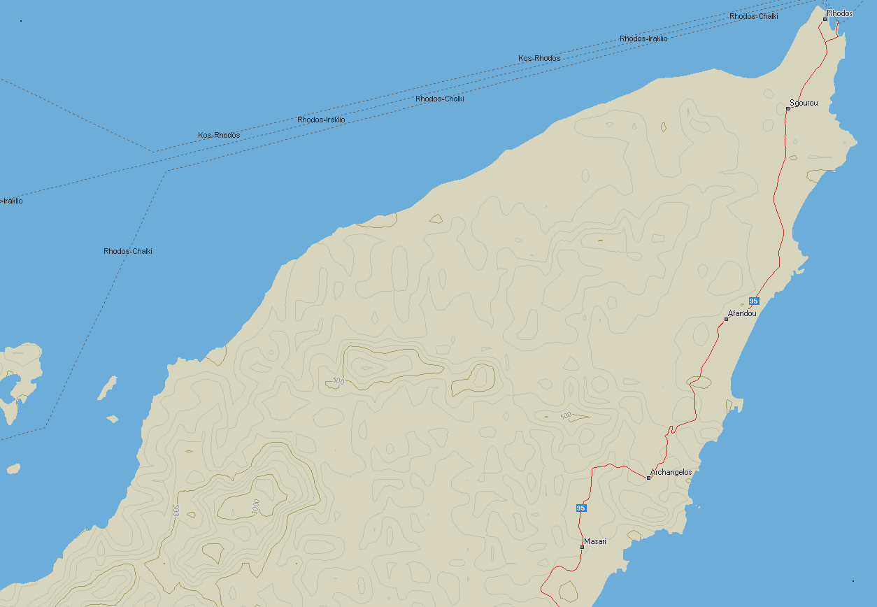
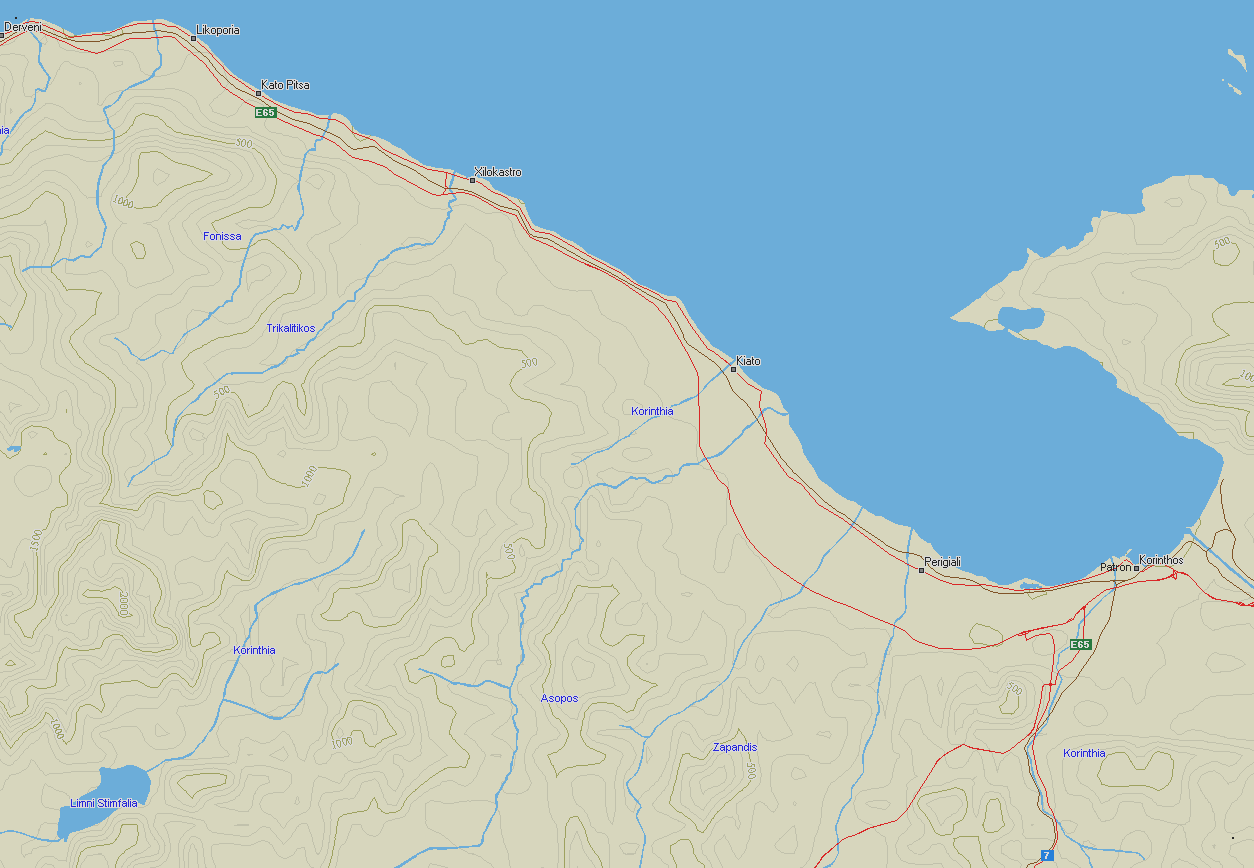
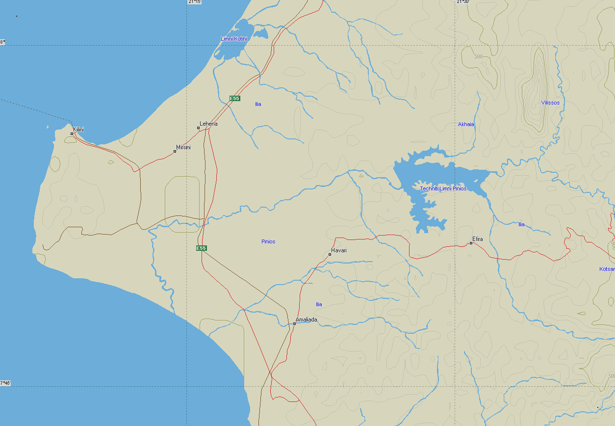
AM2 maps cover all Greece (7 maps)
Size: 1254x868, 4 bits (16 colors) - ideal for 1280x desktop
Note 1: If you use UI-16 or older versions of UI-32, you HAVE to convert PNG maps
to GIF. You can do it with practically every image processing program like PSP
or PhotoShop or even ACDSee and IrfanView.
Note 2: I design maps for 1280x960 desktop so the entire map fits on my UI-View in
full screen mode without scrolling bars (i hate map shift). If you use lower resolution
like 1024x768 etc., it may be better to RESIZE the maps to fit in your window.
Resizing does NOT affect correct calibration, so feel free to experiment...
Instructions on how to do it will follow soon to a separate page!
Note 3: You may also experiment editing the maps with latest details and add/remove
just about anything! Don't change physical details... Also 16 color maps have a
"palette" feature. If you don't like the color of the sea, don't edit the map!
Find and change the reference color in the palette instead. Then save the palette
(with a filename like myAM.pal), and apply it to all AM4 maps for example. Now all
your AM4 maps have a new sea color!

Σημείωση 1: Αν χρησιμοποιείτε το UI-16 ή κάποια παλιά έκδοση του UI-32, ΠΡΕΠΕΙ να
μετατρέψετε τους χάρτες από PNG σε GIF. Αυτό γίνεται πρακτικά με οποιοδήποτε
πρόγραμμα επεξεργασίας εικόνων όπως το PSP ή το PhotoShop ή ακόμα τα ACDSee και
IrfanView.
Σημείωση 2: Σχεδιάζω τους χάρτες γιά επιφάνεια εργασίας 1280x960 ώστε ολόκληρη η
εικόνα να χωράει στο UI-View σε full screen mode χωρίς να χρειάζονται ράβδοι
κύλισης (scrolling bars) - σιχαίνομαι το "τσούλημα". Αν χρησιμοποιείτε μικρότερη
ανάλυση όπως 1024x768 κλπ., μπορείτε να ΣΜΙΚΡΥΝΕΤΕ τους χάρτες έτσι ώστε να χωράνε
στο δικό σας παράθυρο. Η σμίκρυνση ΔΕΝ επηρρεάζει την σωστή βαθμονόμιση
(calibration), οπότε πειραματιστείτε ελεύθερα... Σύντομα θα κυκλοφορήσουν οδηγίες
γιά το πως γίνεται αυτό σε άλλη σελίδα!
Σημείωση 3: Μπορείτε επίσης να πειραματιστείτε αλλάζοντας τις λεπτομέρειες των
χαρτών, προσθέτοντας/αφαιρώντας σχεδόν τα πάντα! Μην αλλάζετε τα γεωφυσικά
δεδομένα...
Επίσης οι χάρτες 16 χρωμάτων (< 256) υλοποιούνται με τη μέθοδο της "παλέττας". Αν δεν σας
αρέσει το χρώμα της θάλασσας γιά παράδειγμα μην το αλλάξετε ΠΑΝΩ στην εικόνα. Αντί
γι αυτό, διορθώστε το χρώμα πάνω στην παλέττα. Μετά αποθηκεύστε την παλέττα (με το
όνομα myAM.pal), και εφαρμόστε την σ' όλους τους χάρτες της σειράς AM4 γιά
παράδειγμα. Τώρα όλοι οι χάρτες σας AM4 έχουν νέο χρώμα!
AM1 = 390 km Range Scale in UI-view (1:2250000)
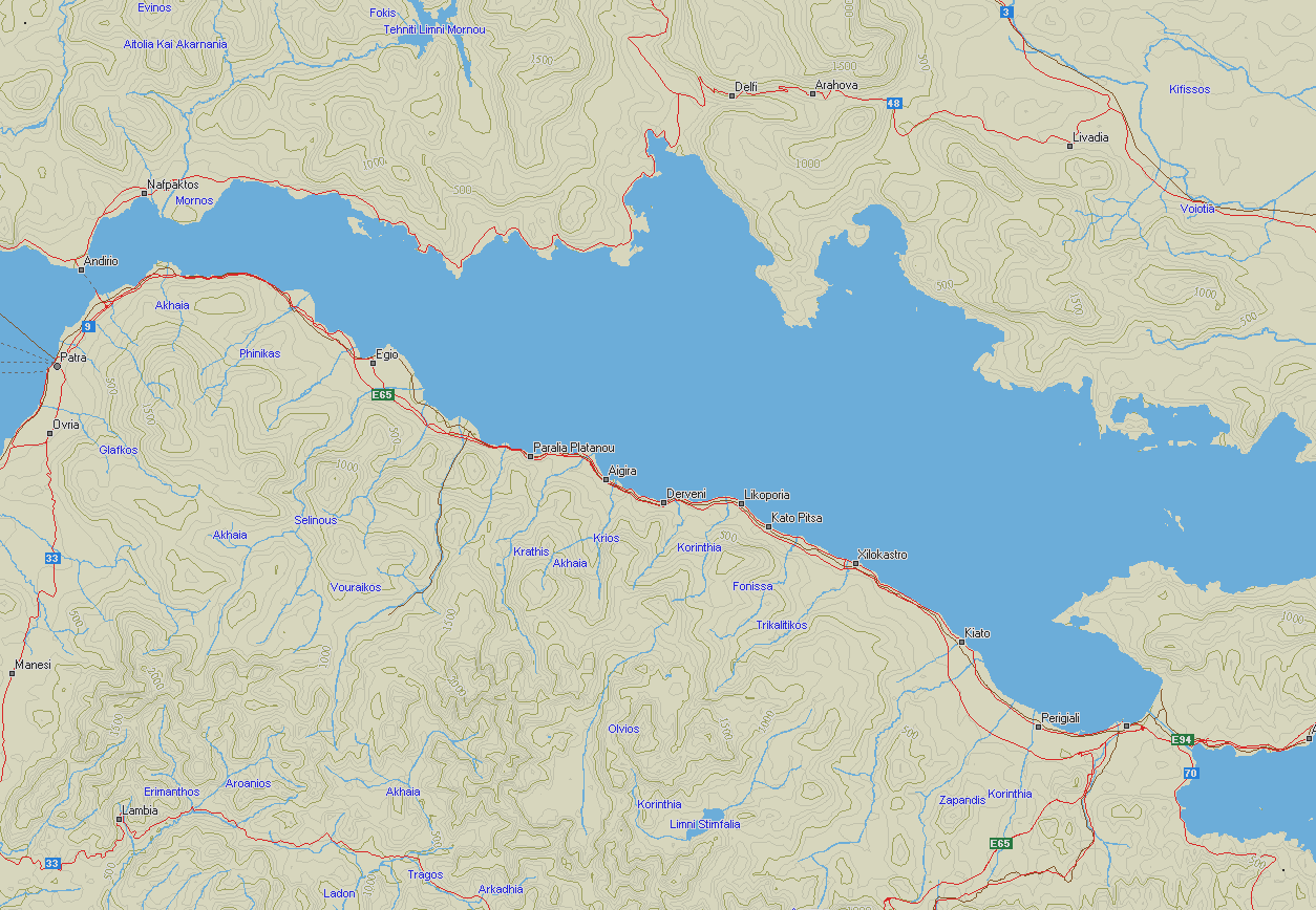
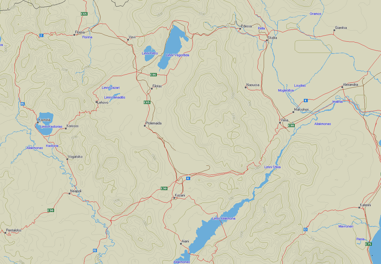
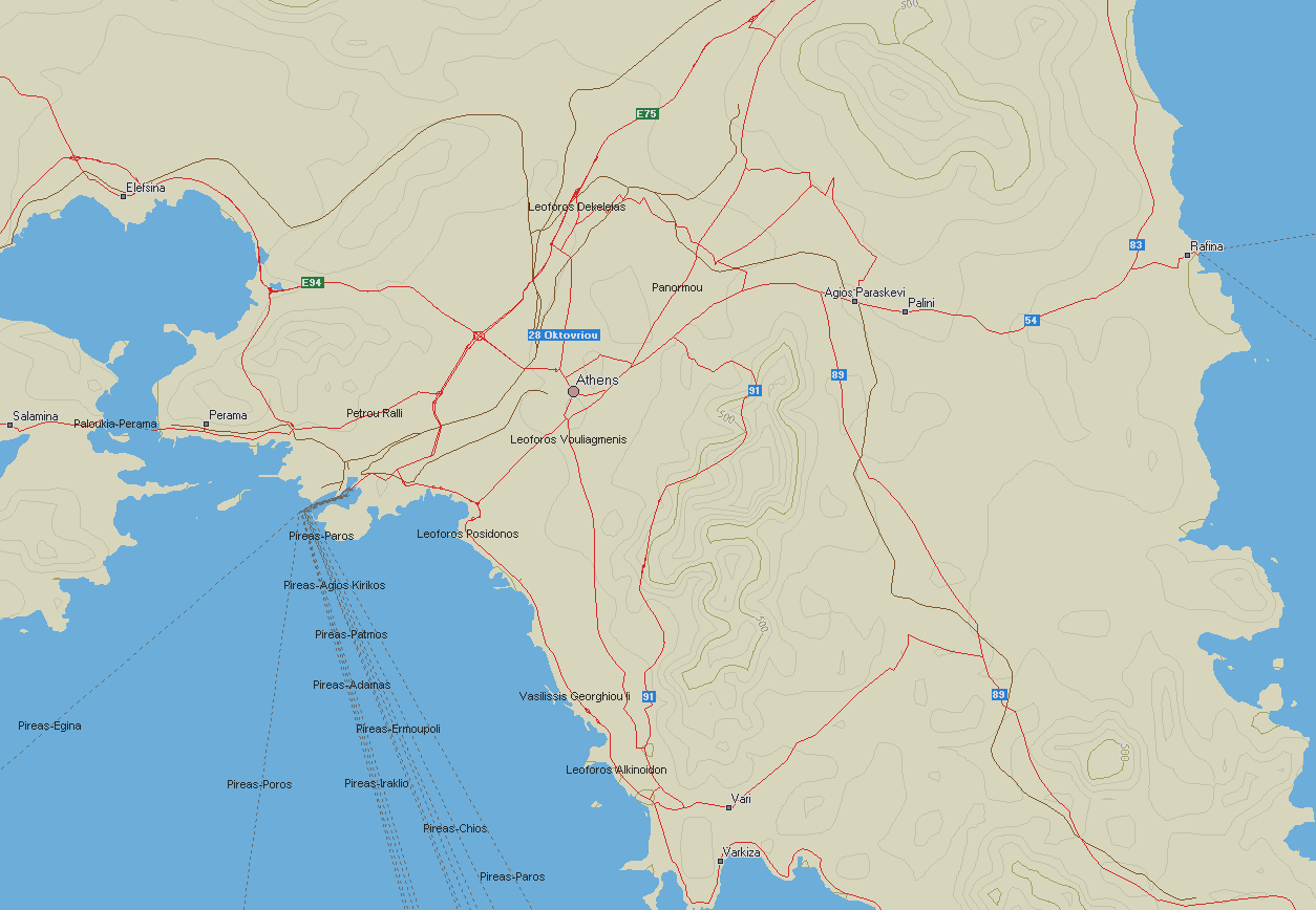
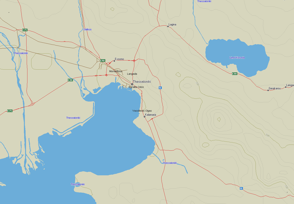
AM2 = 130 km Range Scale in UI-view (1:750000)
AM3 = 43 km Range Scale in UI-view (1:250000)
AM4 = 17 km Range Scale in UI-view (1:100000)
AM5 = 4,3 km Range Scale in UI-view (1:25000)
INF files for the above maps:
INF files (ZIP)