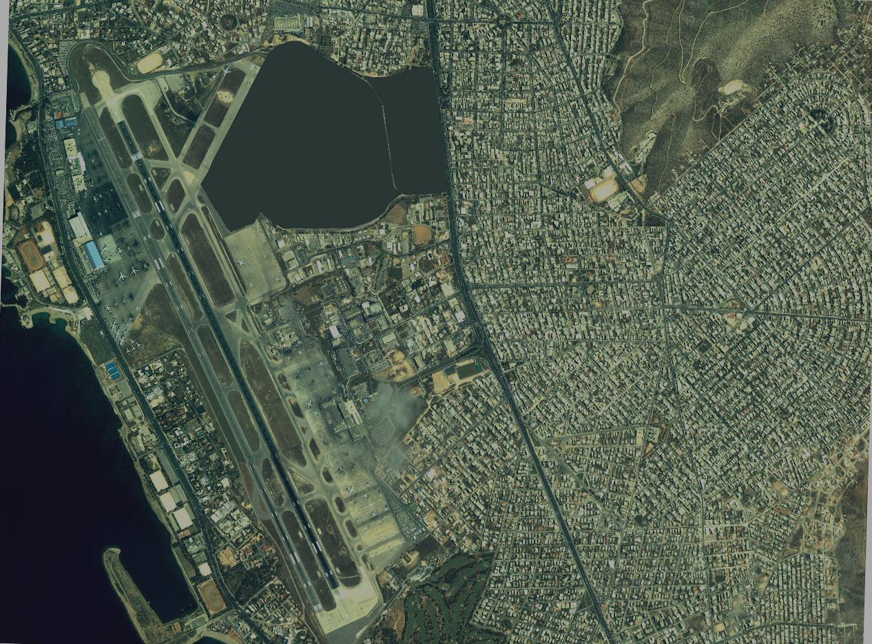
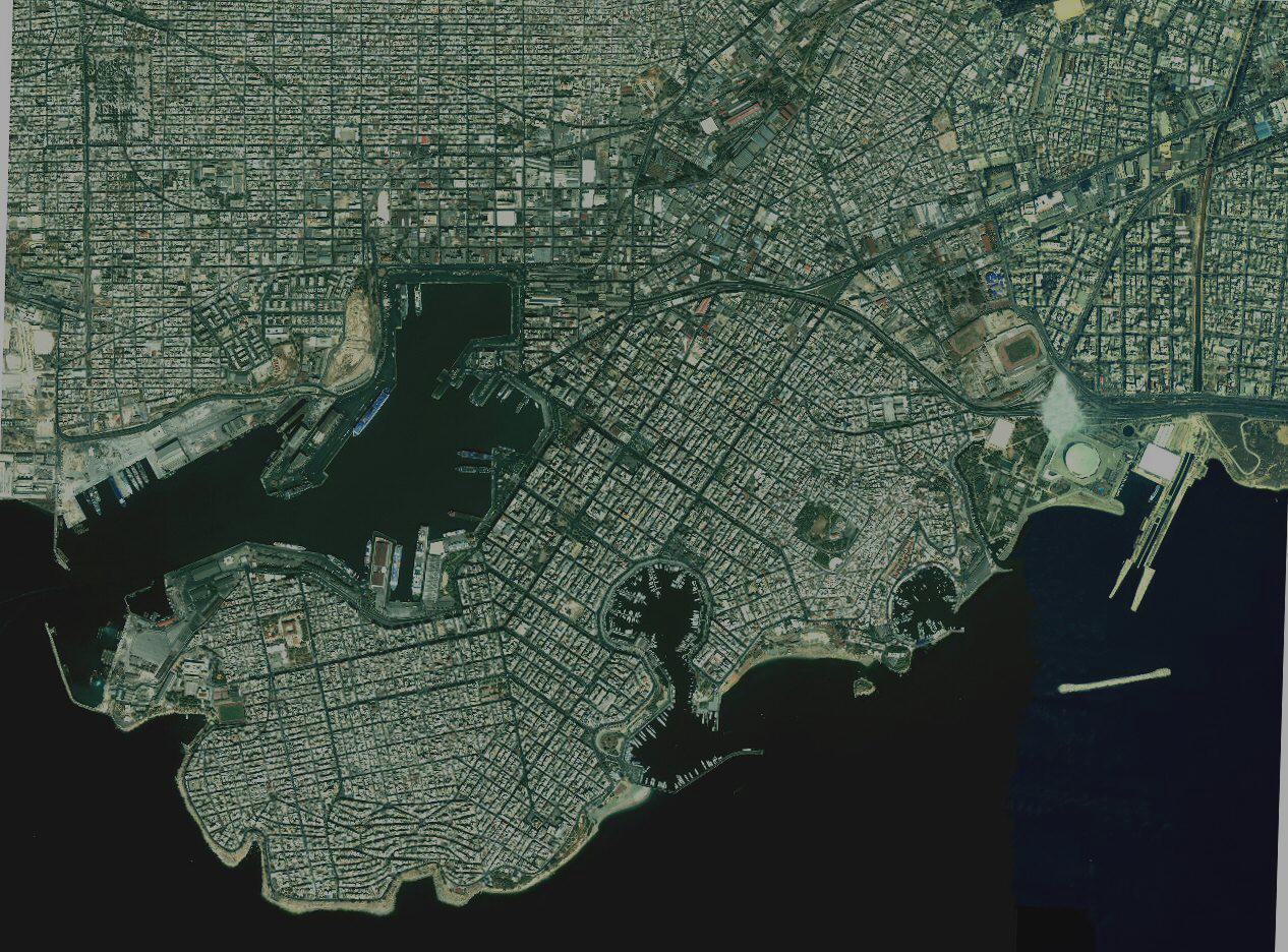
BA1 = 1,9 km Range Scale in UI-view!
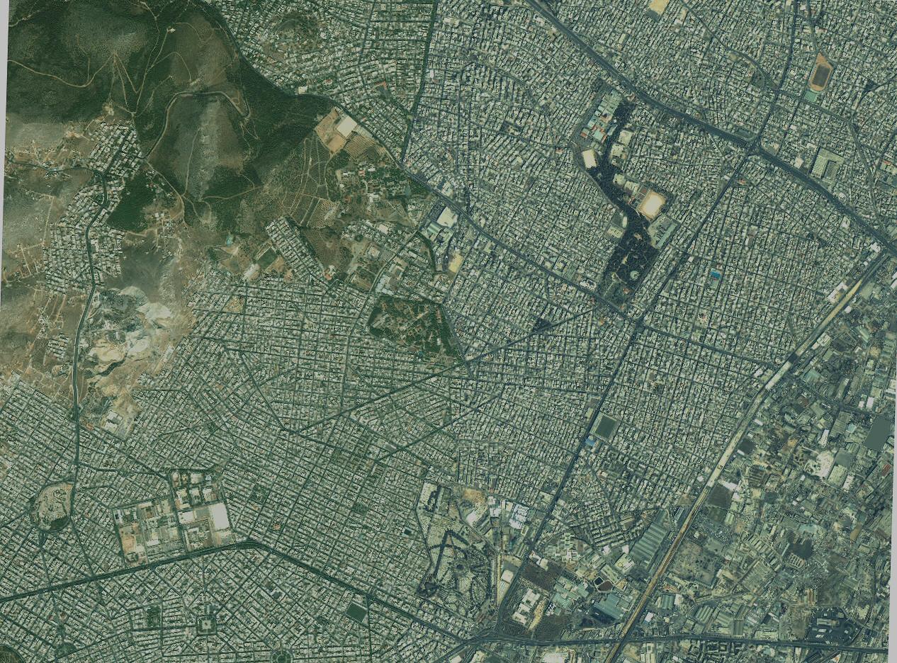
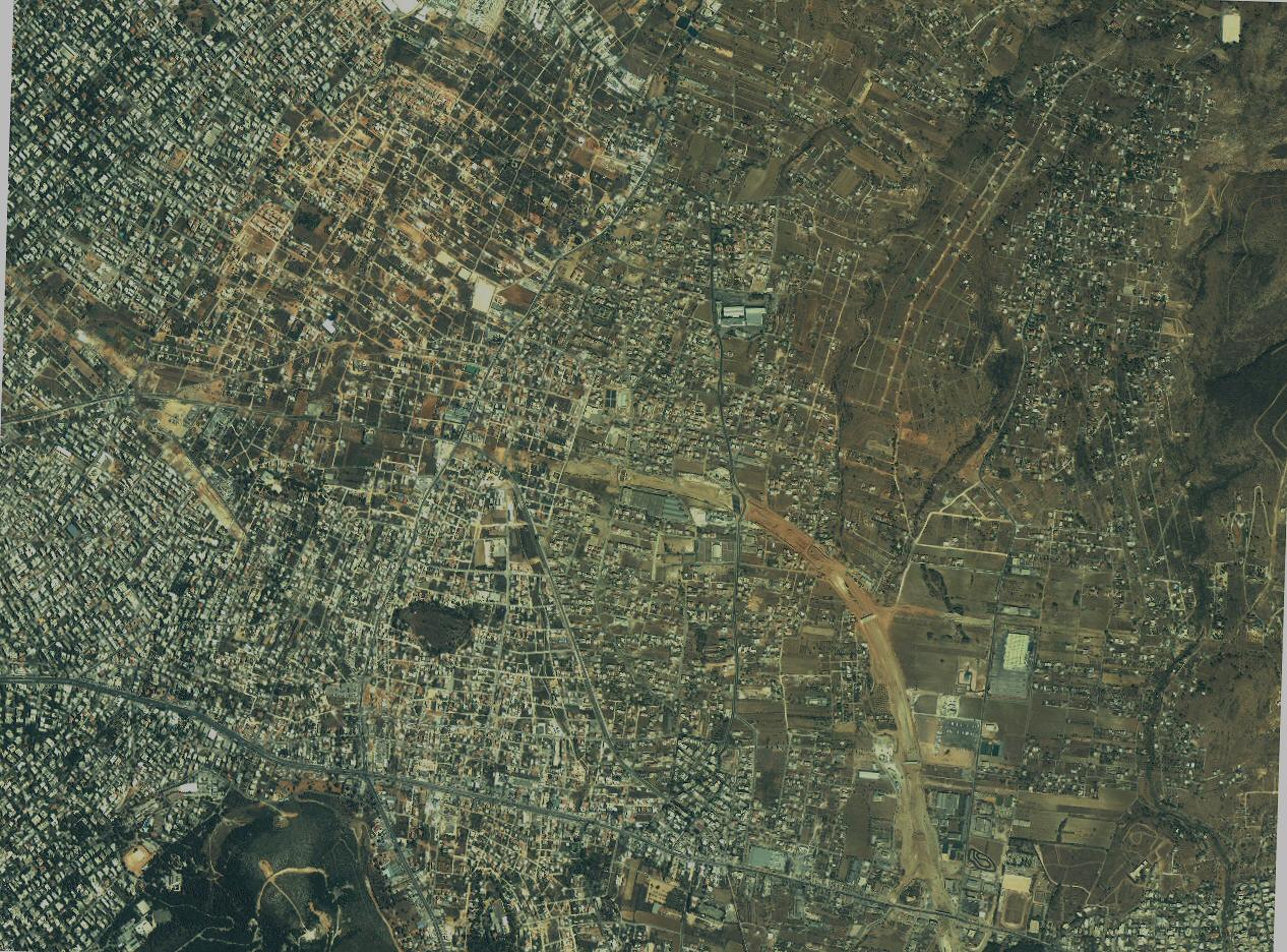
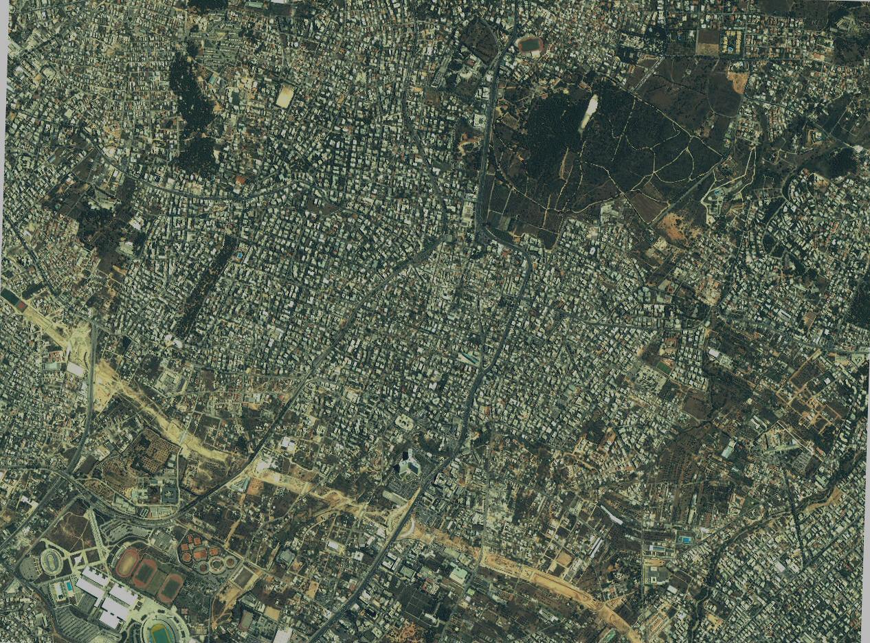
Attica


Thessaloniki
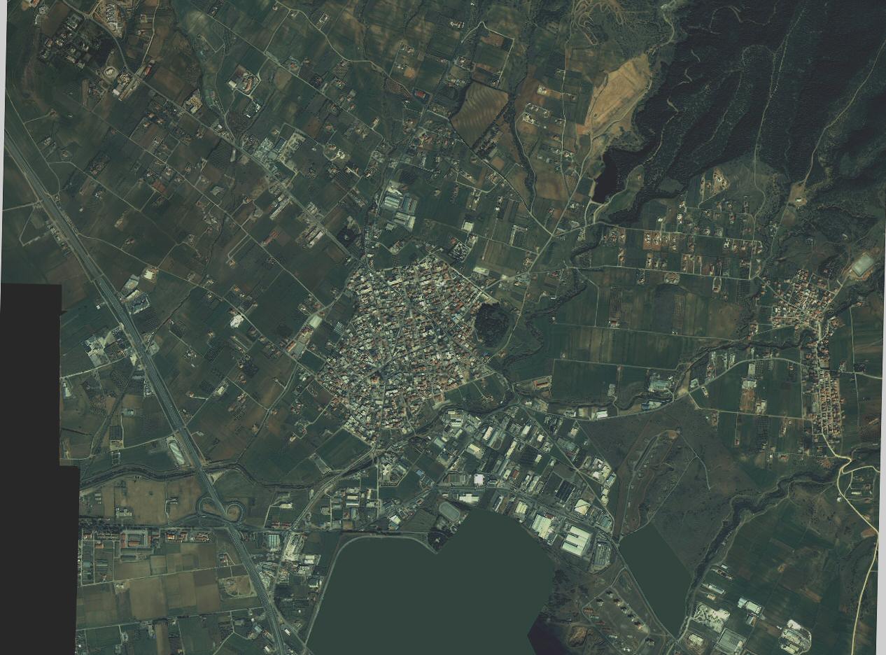 BA1sedes.jpg 188.30 KB |
Note1: I design maps for 1280x1024 desktop so the entire map fits on my UI-View in full screen mode without scrolling bars (i hate map shift). If you use lower resolution like 1024x768 etc., it may be better to RESIZE the maps to fit in your window. Resizing does NOT affect correct calibration, so feel free to experiment...
Note2: Maps are stored with a lot of compression to become as small as possible. Since they actually are photos, the JPG format is preffered. Detail degradation is kept to a minimum "blur".
|
BA1sedes.jpg 188.30 KB |