AB series - Political maps of Greece

ex AD series - had to change cause of advert. filters!


Pictures made with Radio Mobile Deluxe by Roger Coude - VE2DBE. These series are the political maps (an exact darkened copy) from MapQuest. There is an 1/1 correspondence with maps in AC series. Check there for all the details.

Note1: I design maps for 1280x1024 desktop so the entire map fits on my UI-View in full screen mode without scrolling bars (i hate map shift). If you use lower resolution like 1024x768 etc., it may be better to RESIZE the maps to fit in your window. Resizing does NOT affect correct calibration, so feel free to experiment...

Note2: Maps are stored with a decreased palette of 256 colors to become as small as possible. The PNG format is preffered.

Note3: I know maps are DARK! My new display is a superb digital TFT (AOC729) with a gamma very near 1. I also use the new label feature of UI-view (uncheck SHOW LABEL BACKGROUND), and the callsigns look great over the dark map! If you have a CRT display, you can increase the picture gamma (or brightness) with any photo s/w you like. Some programs can also do a mass conversion.

Note4: Latest revision of Radio Mobile Deluxe makes GEO files for WinAprs etc.! I include them also (unmodified). WinAprs users please edit them to reflect the correct filenames...


AB400 (Hellas) = 400 Km Range Scale in UI-view!

AB400hellas.png
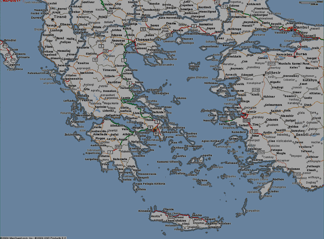
AB400hellas.png
218.22 KB

AB050 = 50 Km Range Scale in UI-view!

AB050thessaly.png
AB050thessaly.png
233.80 KB

AB025 = 25 Km Range Scale in UI-view!

AB025argolis1.png
AB025argolis1.png
123.46 KB
AB025argostripoli.png
149.38 KB

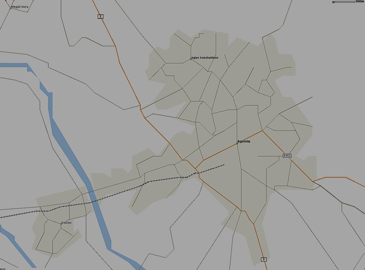
AB015 = 15 Km Range Scale in UI-view!

AB015agiasos.png
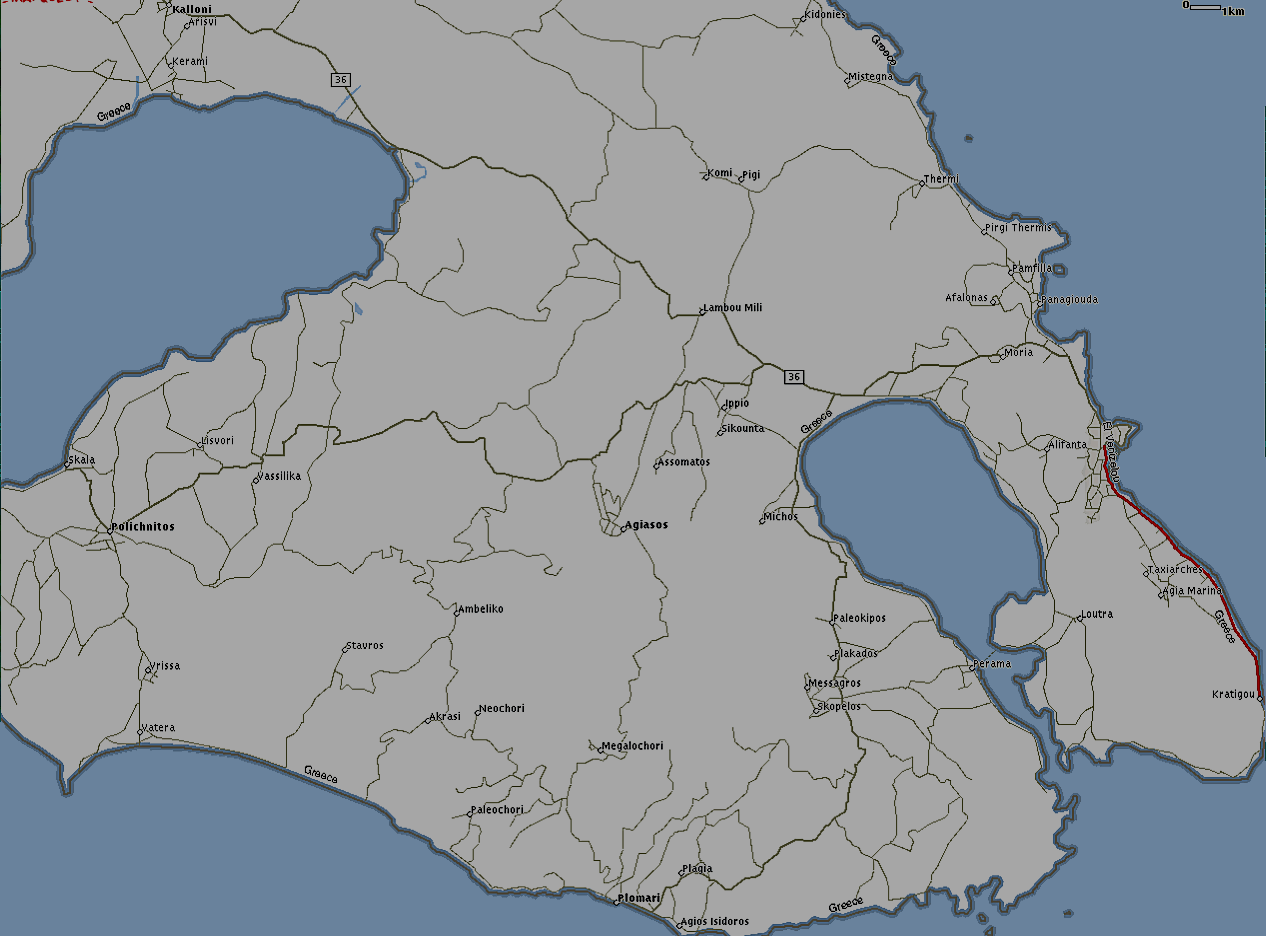
AB015agiasos.png
88.34 KB
AB015athens.png
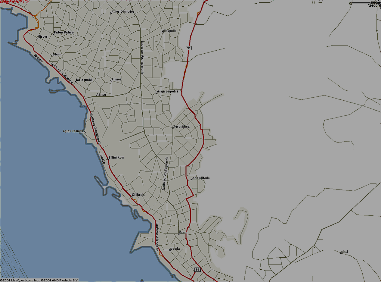
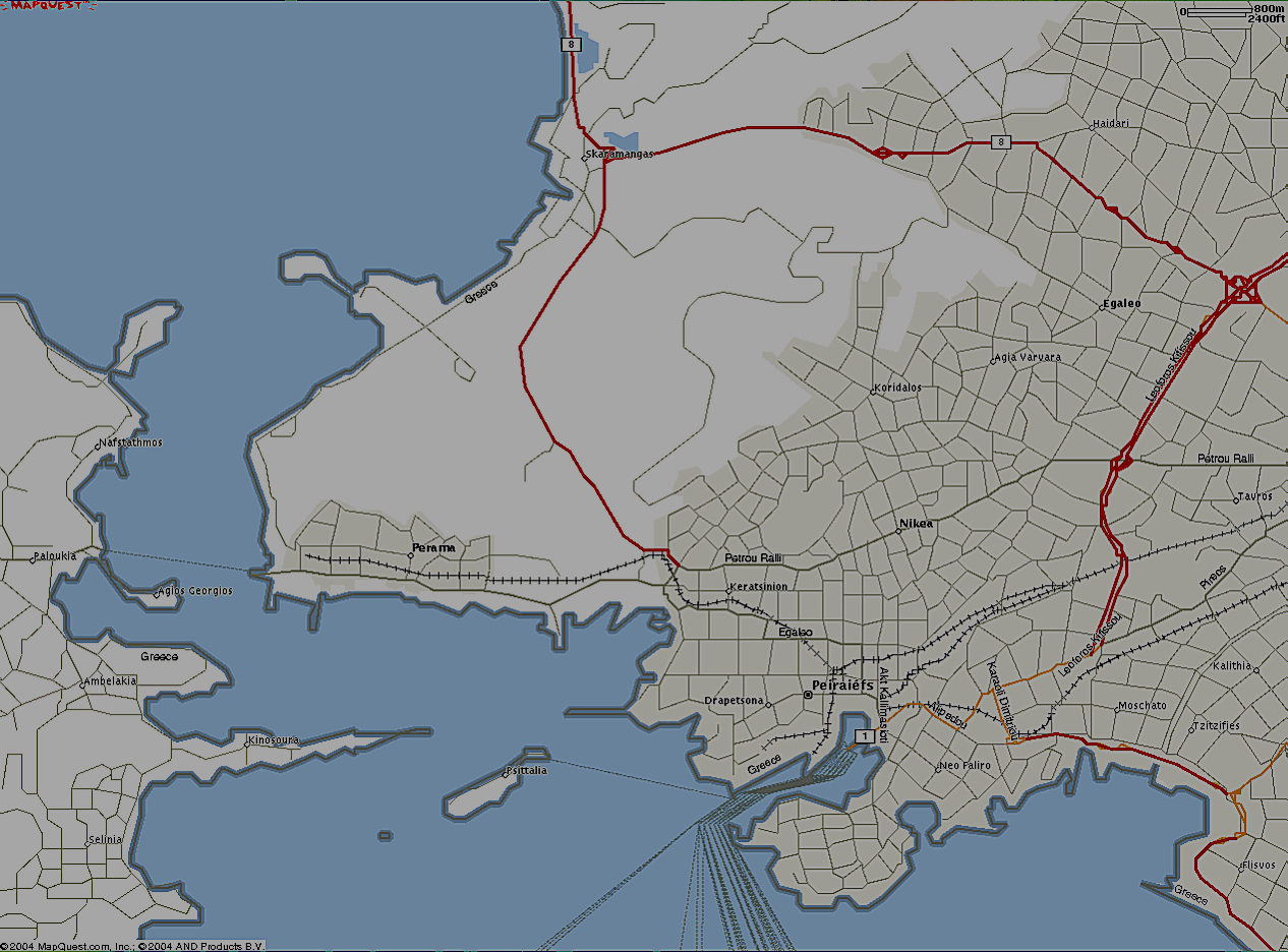
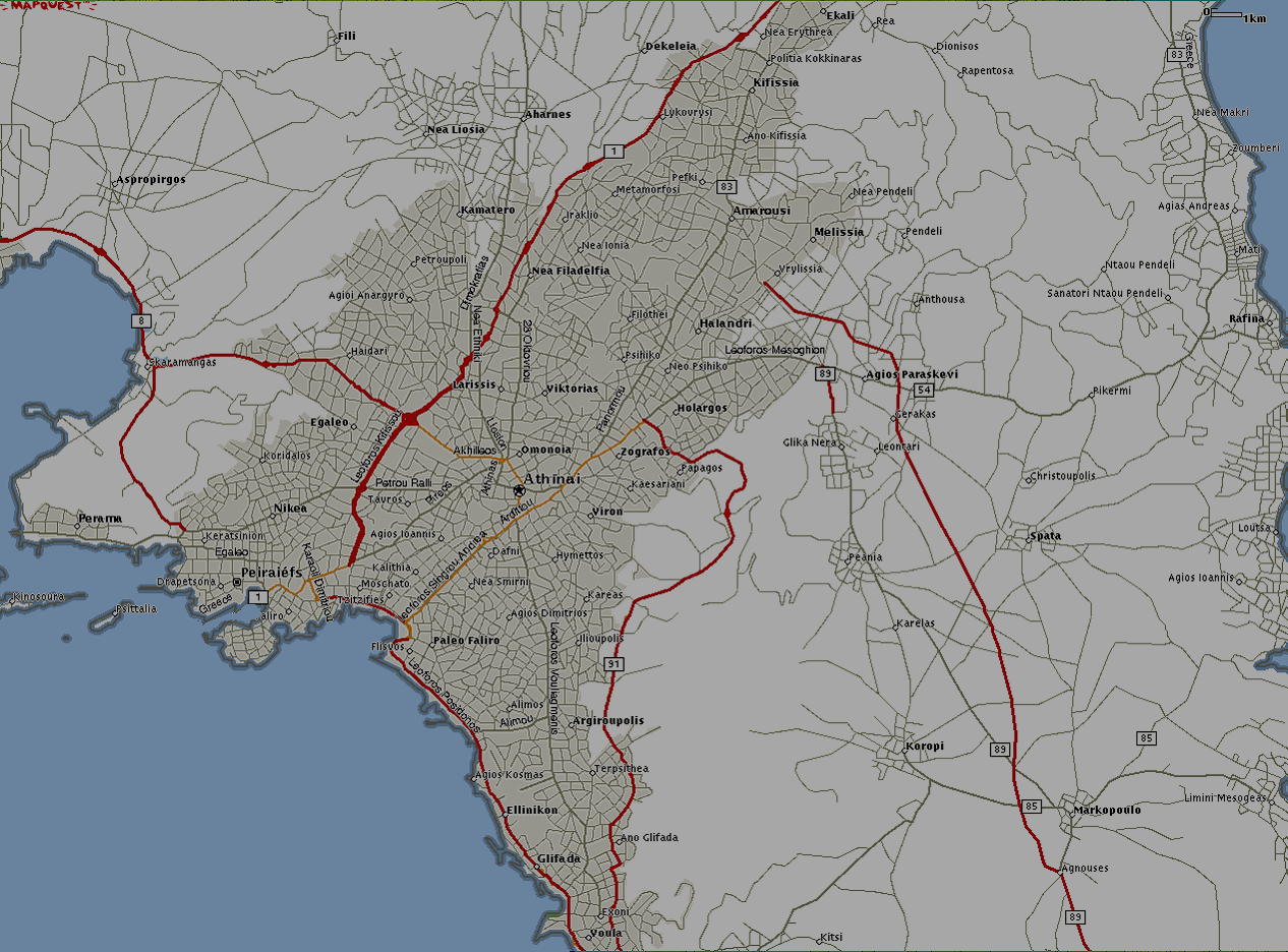
AB015athens.png
192.87 KB
AB015lamia.png
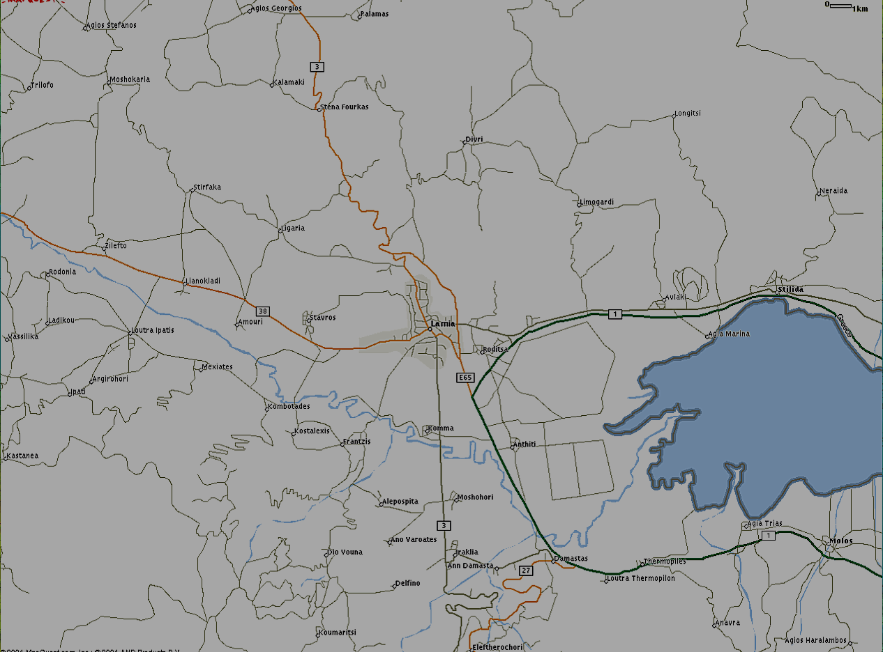
AB015lamia.png
94.44 KB
AB015patra.png
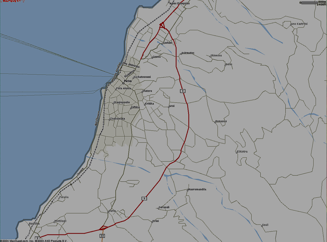
AB015patra.png
120.44 KB
AB015thessaloniki.png
139.17 KB

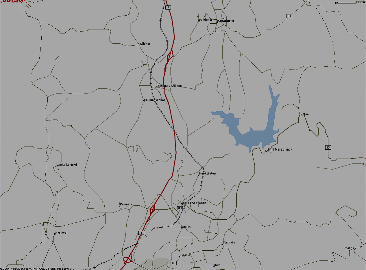
AB006 = 6 Km Range Scale in UI-view!

Attica

AB006afidnes.png
AB006afidnes.png
59.26 KB
AB006aspropirgos.png
95.62 KB
AB006athens.png
AB006athens.png
201.57 KB
AB006athensN1.png
AB006athensN1.png
164.22 KB
AB006athensS1.png
AB006athensS1.png
92.07 KB
AB006avlon.png
AB006avlon.png
61.85 KB
AB006chalkida.png
AB006chalkida.png
74.36 KB
AB006elefsina.png
AB006elefsina.png
56.13 KB
AB006kalamos.png
AB006kalamos.png
52.64 KB
AB006pireaus.png
AB006pireaus.png
137.78 KB
AB006rafina.png
AB006rafina.png
75.72 KB
AB006schematari.png
AB006schematari.png
65.13 KB
AB006spata.png
AB006spata.png
228.86 KB

Thessaloniki

AB006diavata.png
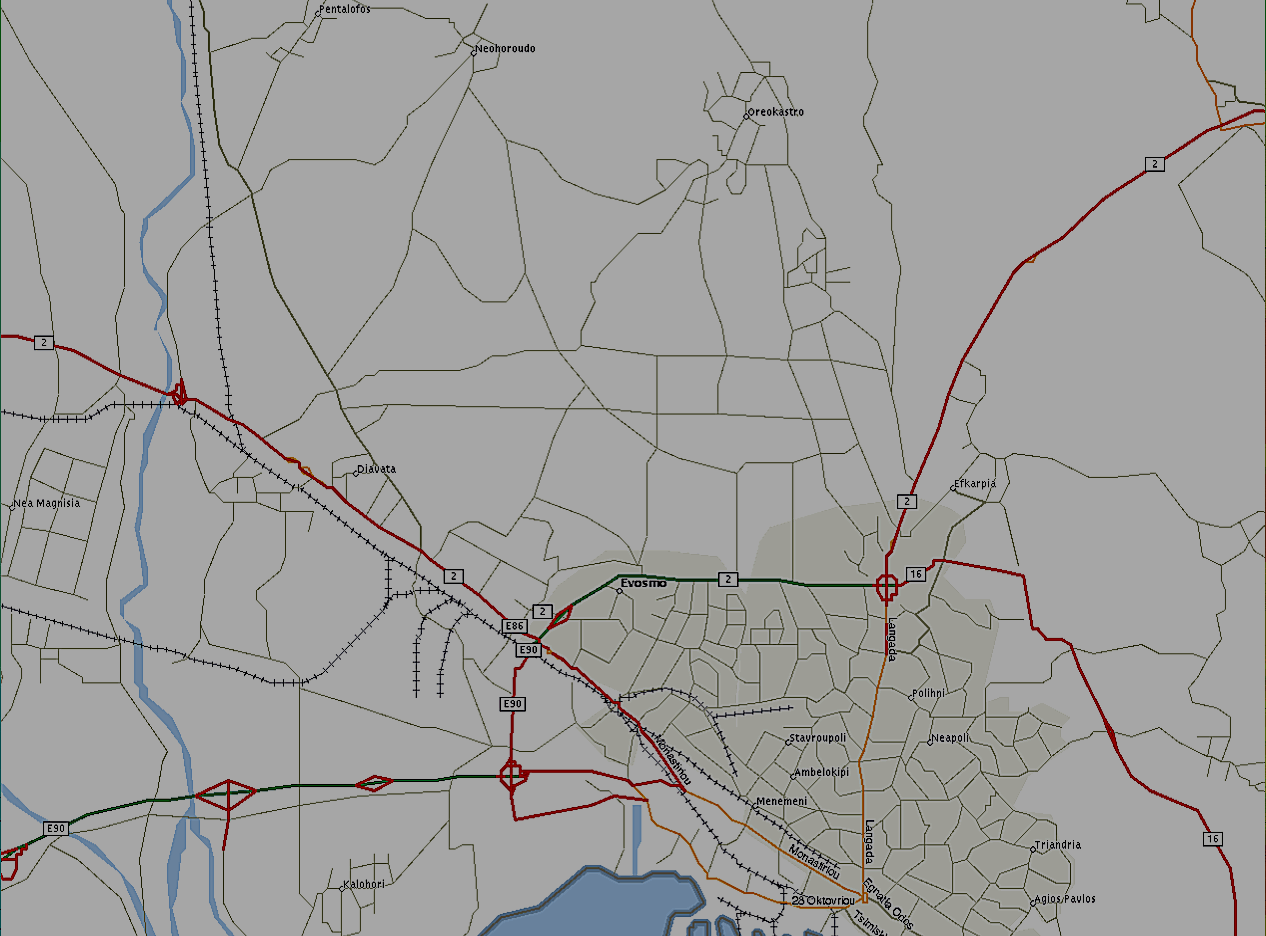
AB006diavata.png
108.26 KB
AB006perea.png
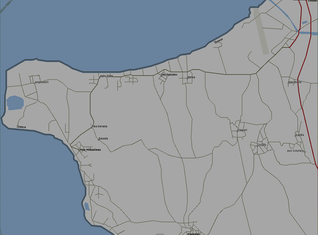
AB006perea.png
58.01 KB
AB006sedes.png
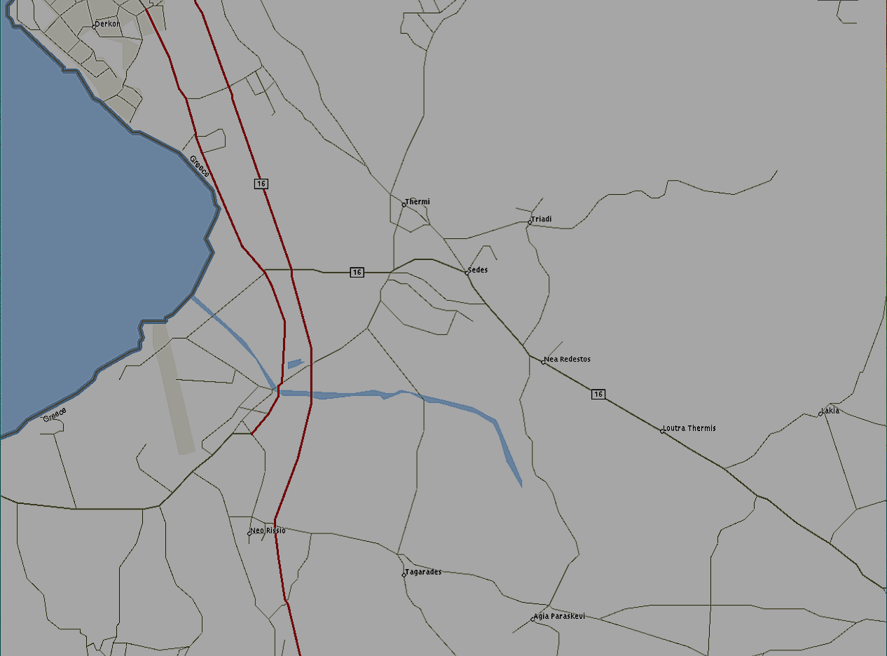
AB006sedes.png
56.79 KB
AB006thessaloniki.png
110.62 KB

Patra

AB006araxos.png
AB006araxos.png
54.91 KB
AB006nafpaktos.png
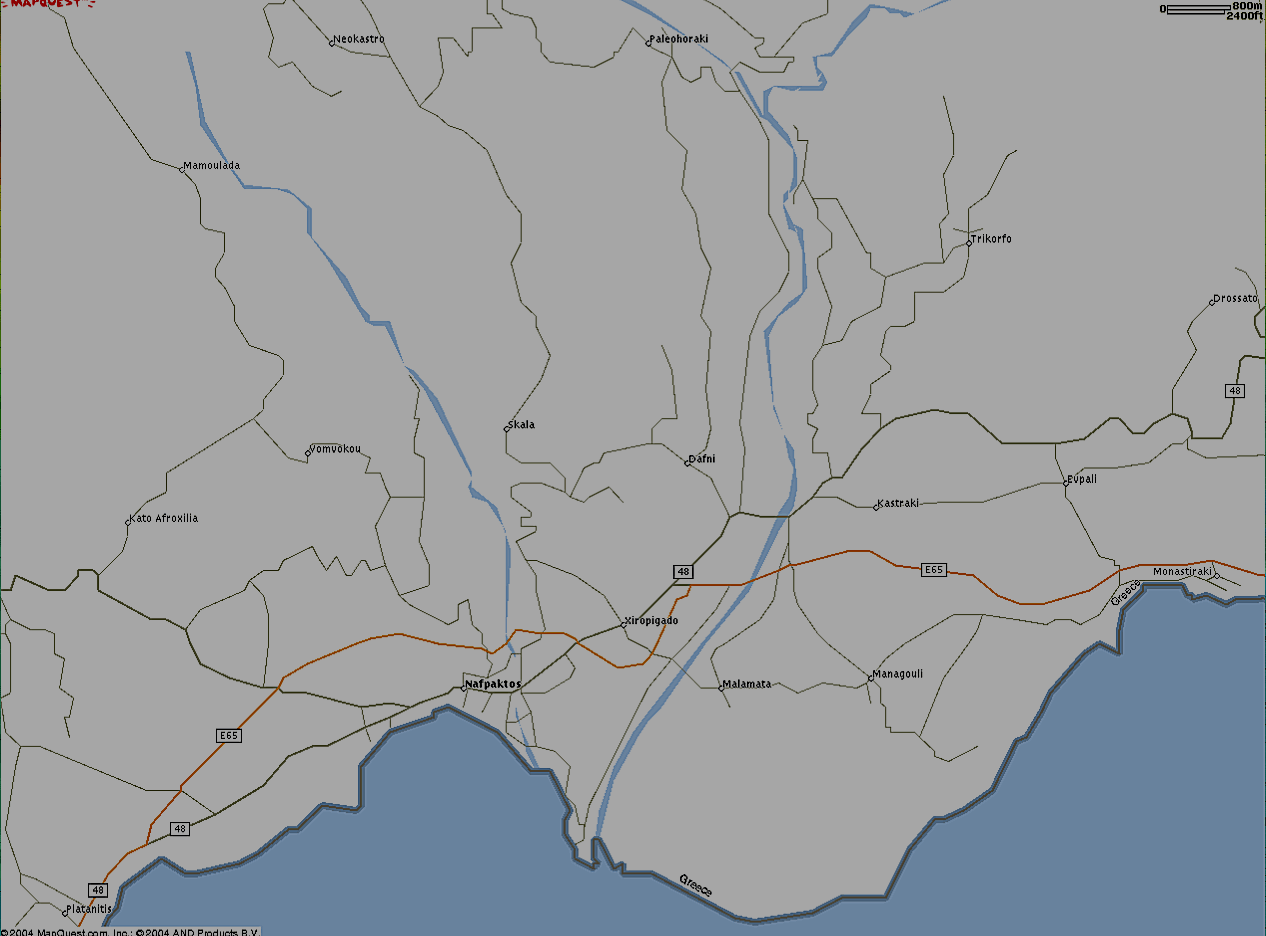
AB006nafpaktos.png
56.94 KB
AB006patra.png
AB006patra.png
83.78 KB
AB006rio.png
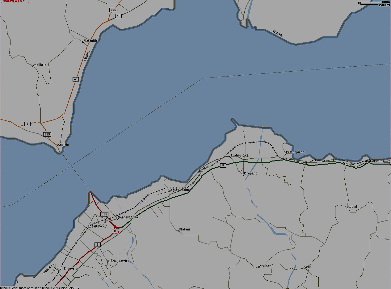
AB006rio.png
61.94 KB
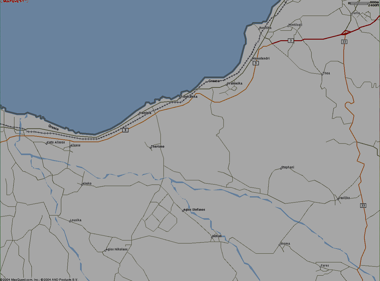
AB006tsoukaleika.png
58.13 KB

Larissa

AB006larissa.png
AB006larissa.png
84.88 KB
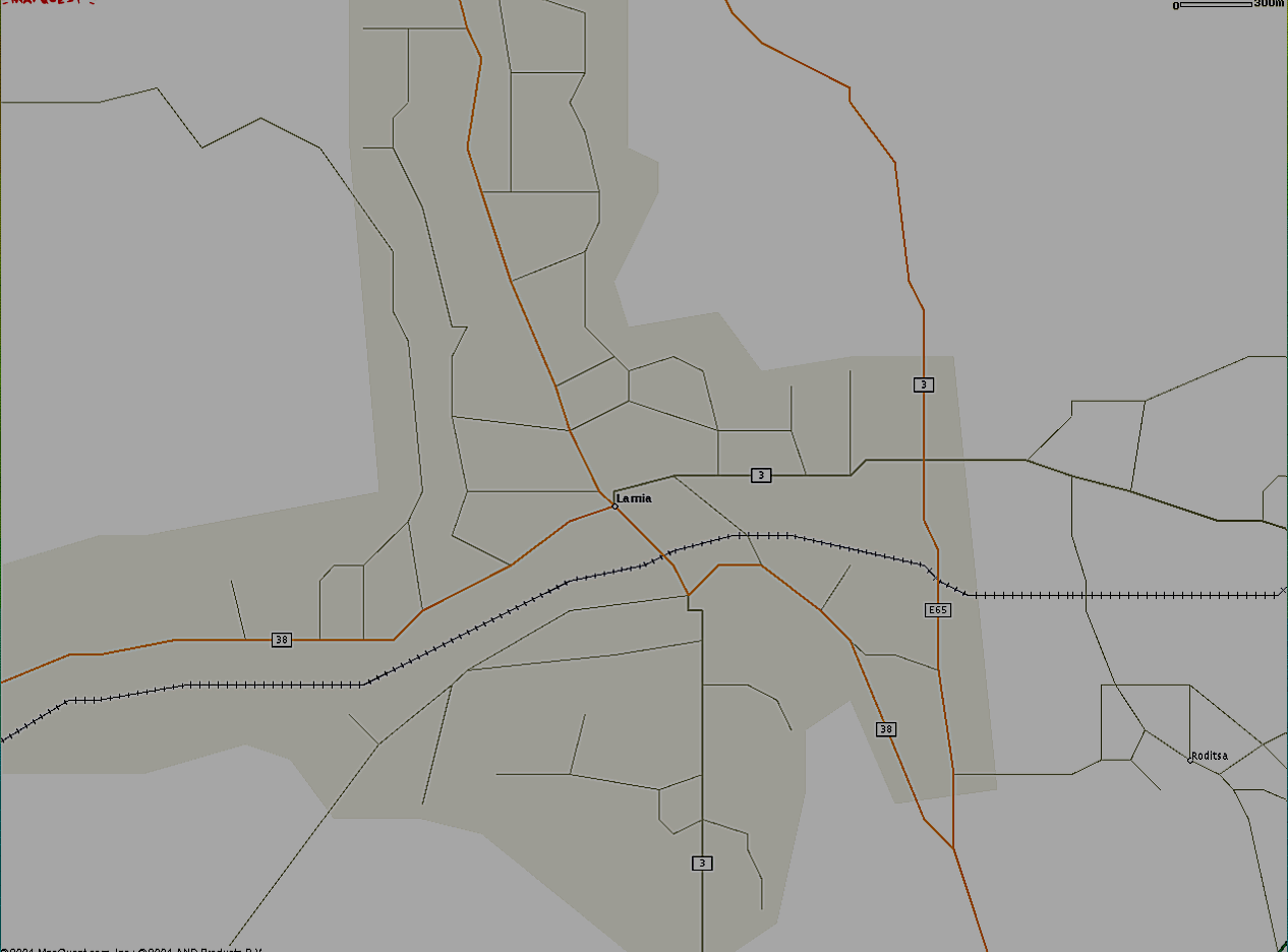
Lamia

AB006lamia.png
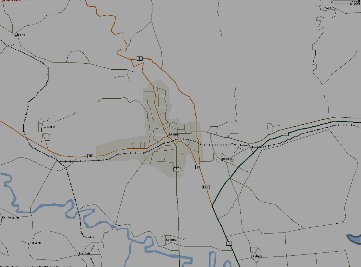
AB006lamia.png
58.58 KB

Rest of Hellas

AB006agrinio.png
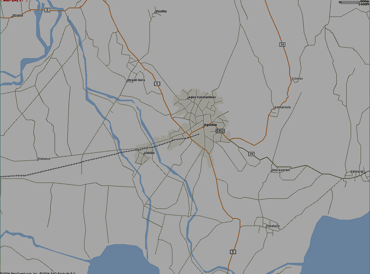
AB006agrinio.png
71.34 KB

AB005 = 5 Km Range Scale in UI-view!

AB005mytilini.png
AB005mytilini.png
52.05 KB
AB005spetses.png
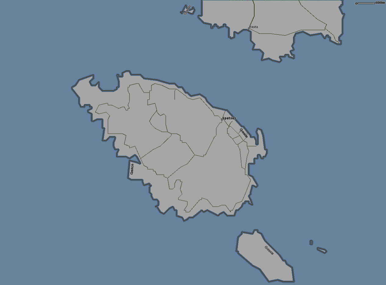
AB005spetses.png
37.79 KB

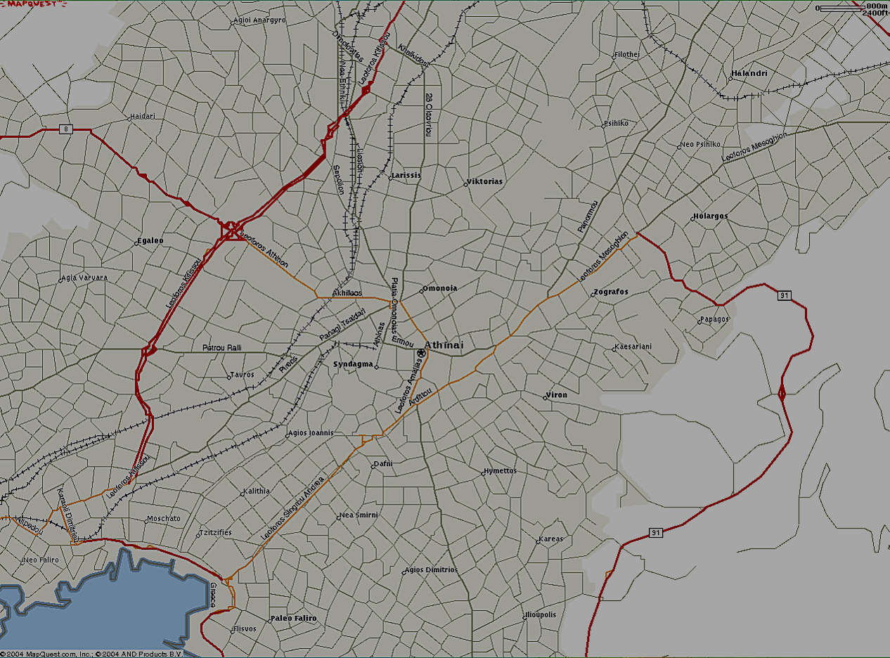
AB003 = 3 Km Range Scale in UI-view!

AB003athens.png
AB003athens.png
374.38 KB

AB002 = 2 Km Range Scale in UI-view!

AB002agrinio.png
AB002agrinio.png
58.11 KB
AB002iraklio.png
AB002iraklio.png
73.06 KB
AB002katerini.png
AB002katerini.png
59.48 KB
AB002lamia.png
AB002lamia.png
43.00 KB

INF files + GEO files (bonus!) for the above maps:

INF/GEO files (ZIP)